
Spain, Portugal map – Visscher, 1680
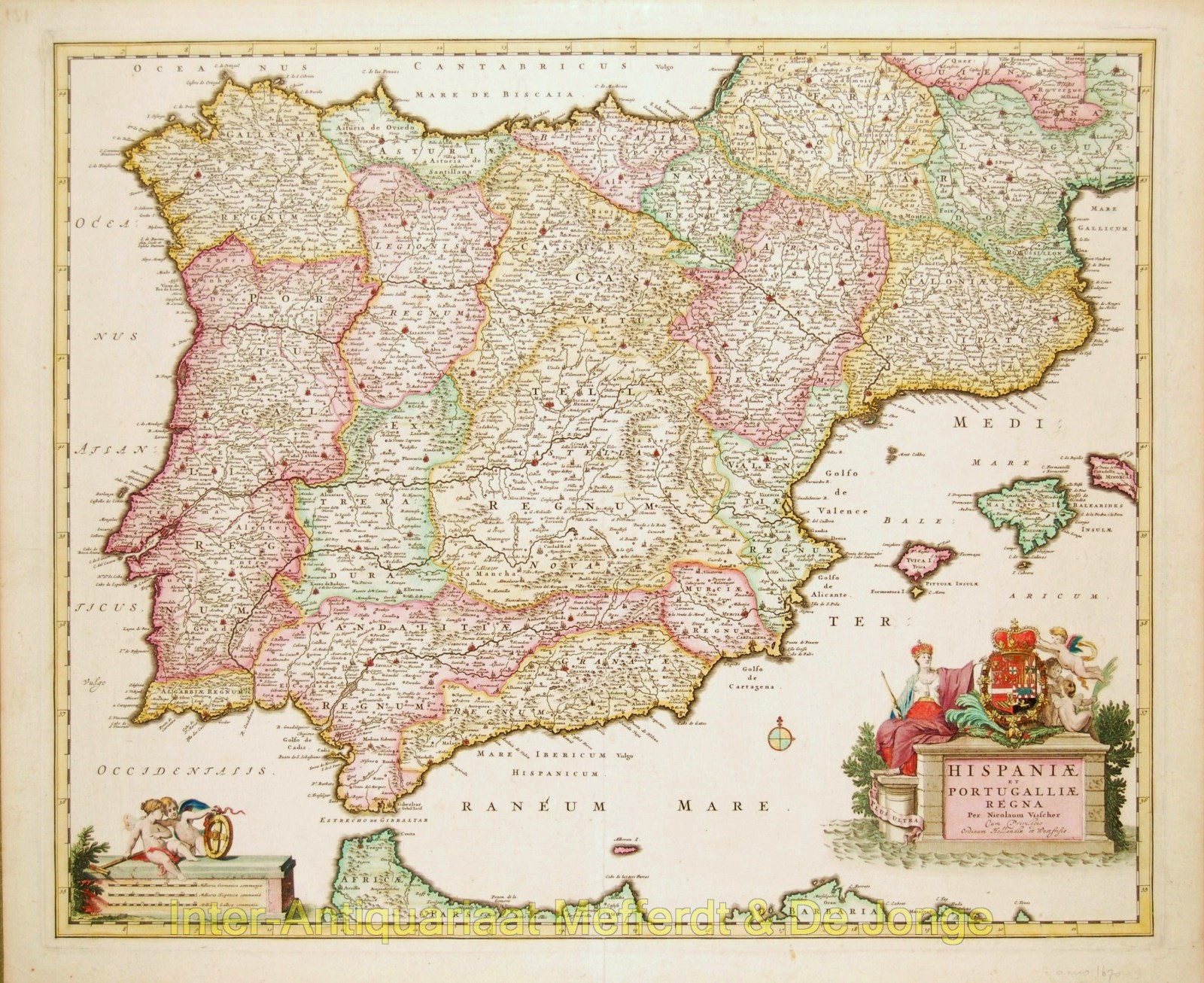
Hispaniae et Portugalliae Regna Beautiful example of an Iberian peninsula map showing Spain and Portugal and Balearic Islands. The elaborate…
Read more
Hispaniae et Portugalliae Regna
Beautiful example of an Iberian peninsula map showing Spain and Portugal and Balearic Islands. The elaborate title cartouche depicts a crowned Queen and cupids supporting a crest.
Published in Amsterdam by Nicolaes Visscher, 1680. Original hand colouring. Size: 47,7 x 57,9 cm.
price: SOLD