

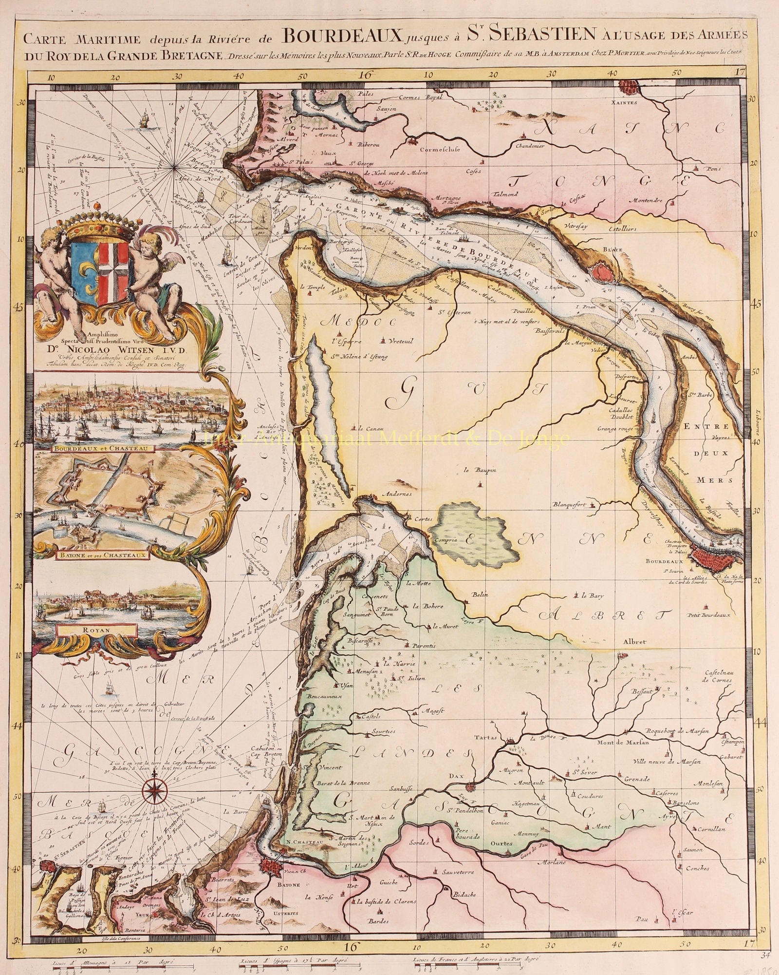
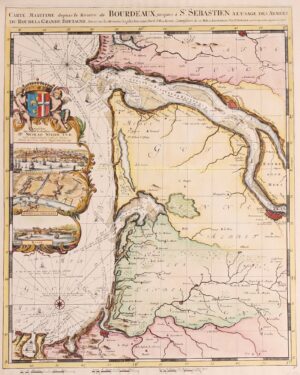
BEAUTIFUL MAP OF BORDEAUX
“Carte Maritime depuis la Riviére de Bourdeaux jusques à St. Sebastien“, copper engraving made by Romeijn de Hooghe and published by Pieter Mortier of Amsterdam in 1693. Coloured by a later hand. Size: 60,5 x 49 cm.
Elaborately etched and engraved chart of the French coast between the mouth of the Gironde and San Sebastian (SP) with inset views of Bordeaux, Bayonne and Royan.
The map is from the “Cartes marines a l’usage des armées du Roy de la Grande Bretagne”, the second part of the “Neptune François”, in which charts are larger and more lavishly decorated than those of any preceding book of this kind. This magnificent work was intended more as a show piece than something to be used by pilots at sea. (According to Cor Koeman it is “the most expensive sea-atlas ever published in Amsterdam in the seventeenth century”.)
This part of the atlas, which contains nine charts, constitutes “the most spectacular type of maritime cartography”. It was prepared for the use of William III who needed accurate information on the Channel coasts for his war plans against king Louis XIV of France. In 1694 he sent an expedition to attack several of the ports which are illustrated in the etched vignettes that decorate these charts. What has won their lasting fame, however, is the identity of their author: the artist-engraver Romeijn de Hooghe (1645-1708). Since he undertook all stages of production himself, the charts exhibit a rare harmony of design and execution. The allegorical subjects which characterise his designs are here transformed into dramatic cartouches.
Price: SOLD