

Antique maps, prints and drawings
Specialists in fine and rare antique maps, prints and drawings from the 16th century to the early 20th century.

City plans
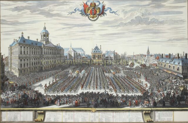
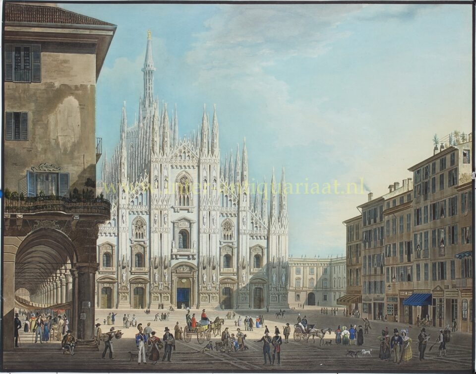
City views

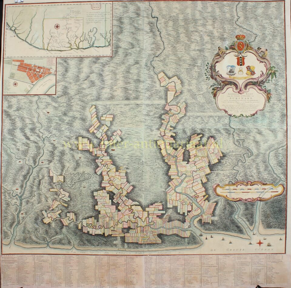
Maps

Specialists in fine and rare antique maps, prints and drawings from the 16th century to the early 20th century.


We specialise in antique maps, city plans and sea charts from the sixteenth to the nineteenth century, as well as topographical prints, city views and drawings dating to around 1850. The material we handle reflects the development of cartography and the visual representation of cities and landscapes over time.
Our focus lies on works of quality, character and historical significance, often with a strong connection to Dutch cultural heritage. We are particularly drawn to prints and drawings that tell a story, whether through their subject, their context, or their place within the history of printmaking.
In addition, for over fifteen years we have been a leading specialist in prints after Lawrence Alma-Tadema, including steel engravings and photogravures published during his lifetime.

Next Event
The Netherland’s leading fair in art, antiques and design. Every year, more than 45,000 art lovers are inspired and tempted by the many thousands of works of art on show. Whether your interest lies in classical antiquity, old masters, photography, contemporary art, antiques, designer furniture or decorative objects, PAN is the perfect place to compare [...]


