

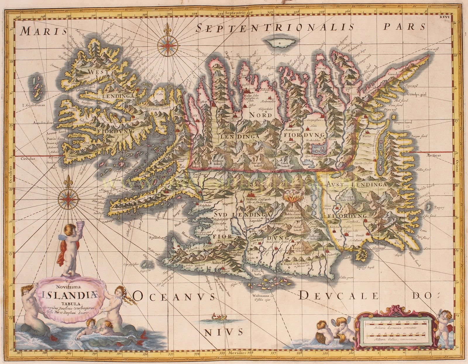

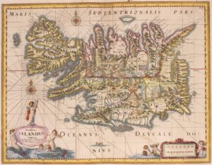

“Novissima Islandiae Tabula” [latest map of Iceland]. Copper engraving first published by Johannes Janssonius around 1660, here in a 1680-1681 edition by Steven Swart, Moses Pitt and Johannes Janssonius-Waesberge. With original hand colouring. Size: 42,5 x 53 cm.
This map of Iceland is based on Abraham Ortelius renowned map of 1585, which was the first relatively accurate map of Iceland. The information for Ortelius’ map was taken from indigenous Icelandic sources and we see in this map of one hundred years later that geographically, little has changed in the representation of the island.
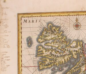
Iceland is depicted in minute detail with all geophysical features and place names noted. This includes mountains and volcanoes, with the Hekla volcano (“perpetually on fire”) depicted in eruption, flames shooting into the sky. Rivers and fiords are noted. Interesting notes can be found in Latin which include two springs known to change white wool black and black wool white (located in the southwest portion of the island), and a notation of “something of unusual size once appeared” found in the long inlet bay of the eastern coast.
An illustration of a small sea monster is featured in the bottom of the map proper. There are two beautiful compass roses and several rhumb lines. The title cartouche in the lower left quadrant is held by both a mermaid and a merman, the scale of the map in the lower right is adorned with putti.
Johannes van Waesbergen (I) was established as a bookseller in Amsterdam and acquired many copper plates by inheritance from his father-in-law Johannes Janssonius (in English: Jan Jansson). Moses Pitt and Steven Swart used the copper plates of Janssonius and added a grid system to all of them.
This map was republished by Johannes van Waesbergen (I), or after his death in 1681, by his son, Johannes (II). For a time, he was associated with Moses Pitt in the abortive attempt in 1680-81 to publish an English version of the major atlases by Joan Blaeu and Janssonius. Originally, Pitt envisaged a sumptuous 12 volume world atlas work called “The English Atlas” However, only 4 volumes were ever produced, as financial problems beset the project, and as a result, Pitt went bankrupt and was sent to a debtors’ prison from 1689 until 1691. Pitt died in 1697.
Interesting are the notes in the left margin of the map made by an early (18th century?) scholar, who in archaic Icelandic (or is it Old Norse?) summed up the Westerners, Northerners, Easterners and Southerners living in Iceland.
Price: SOLD