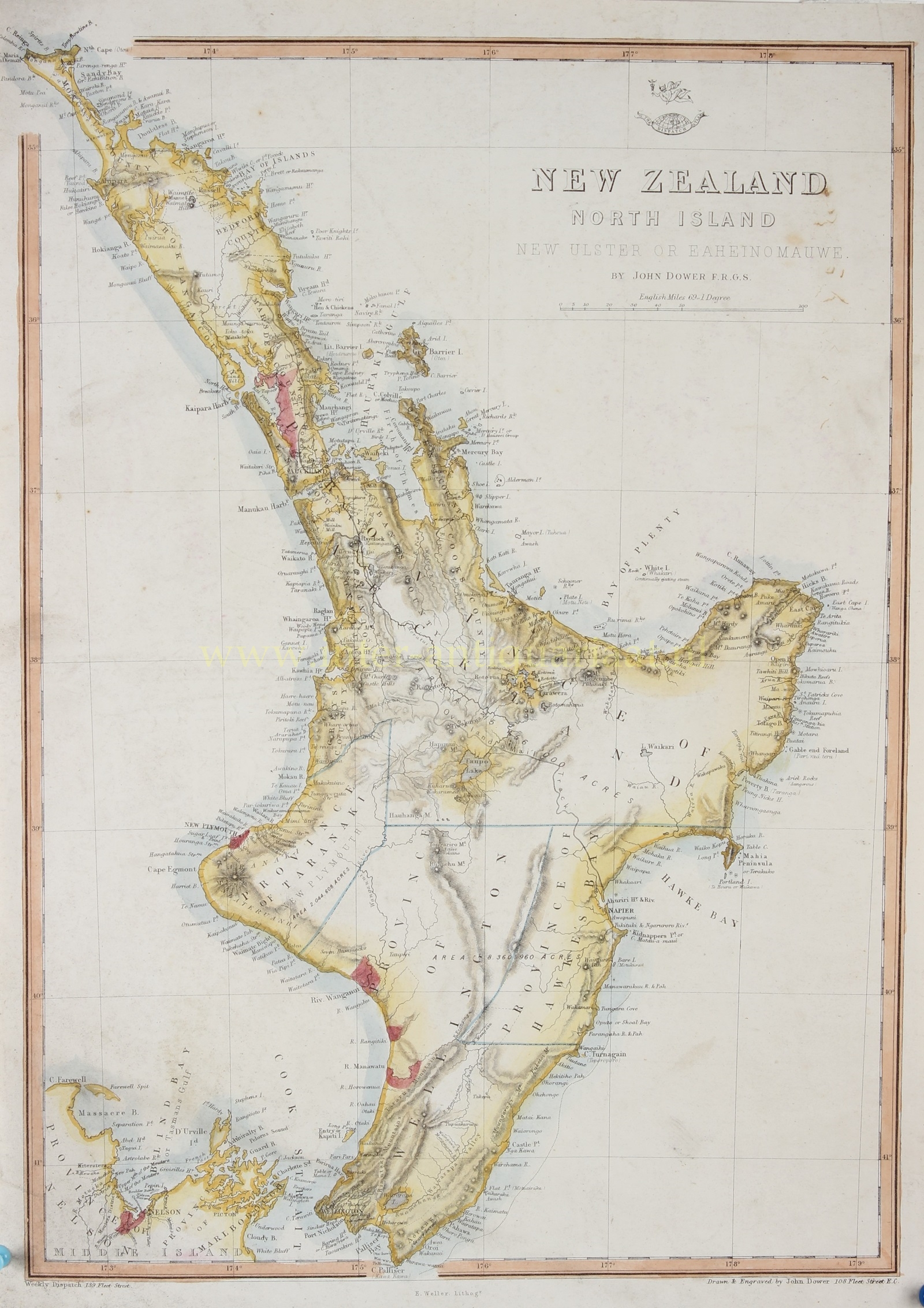
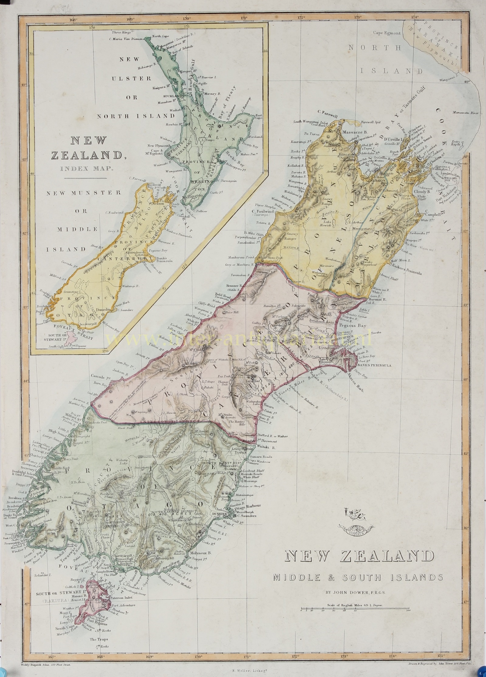
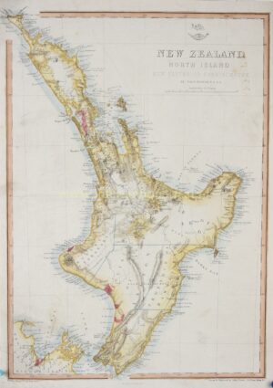
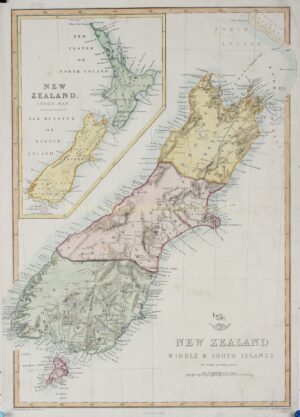
Nieuw-Zeeland, Noordereiland – John Dower + Edward Weller, ca. 1860
“New Zealand North Island. New Ulster or Eaheinomauwe.” Lithograph made by John Dower, published in London by Edward Weller around 1860. Coloured by a later hand. Size: approx.. 43 x 32 cm.
The Treaty of Waitangi, signed between representatives of the British Crown and various Māori chiefs in 1840, laid the foundation for British sovereignty over New Zealand while guaranteeing certain rights to the Māori people.
Throughout the 1850s, British settlers continued to arrive in New Zealand, particularly in areas such as Wellington, Canterbury, and Otago. The colonial government established settlements, infrastructure, and institutions, gradually extending British influence over the islands.
The 1850s and 1860s were characterized by conflicts known as the New Zealand Wars (also known as Land Wars). These conflicts primarily arose from disputes over land ownership, as European settlers sought to acquire more territory for farming and development.
The Land Wars, the effects of European infectious diseases, and the imposition of a European economic and legal system led to most of New Zealand’s land passing from Māori to European ownership, and the Māori became impoverished.
In 1852, New Zealand was granted self-government with the establishment of the New Zealand Parliament. The 1850s and 1860s saw the emergence of political parties and the development of parliamentary democracy.
John James Dower (1825 – 1901) was a well-respected mapmaker, print seller, and publisher based in London. Dower is the heir to the more prominent London engraver and mapmaker John Crane Dower (1791 – 1847). Dower worked with many prominent middle to late 19th century London map publishers and was elected to the Royal Geographical Society in 1854. Dower also published on maps his own account including one atlas and various school geographies. In addition to his cartographic work, Dower is well known as an engraver of military scenes.
Price: SOLD


