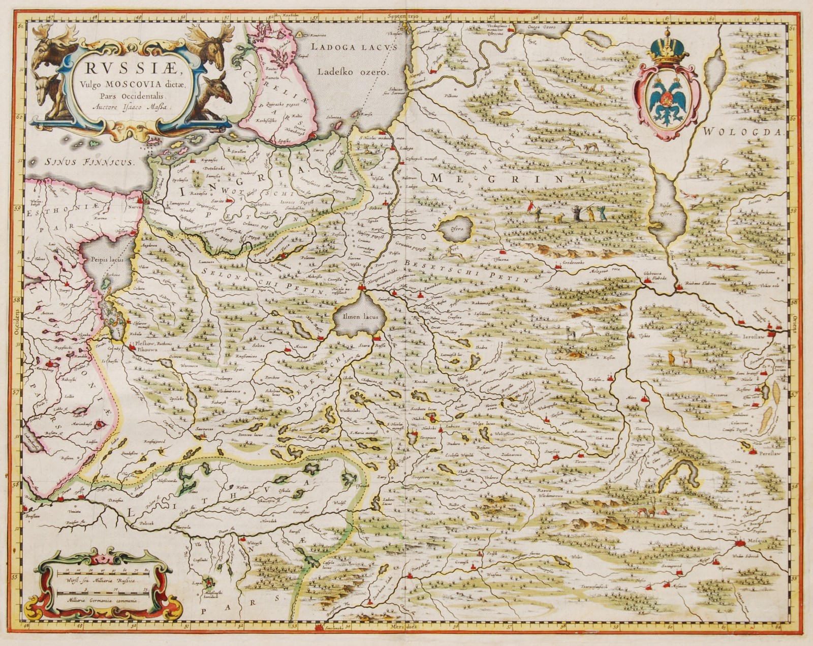
Russiae, Vulgo Moscovia dictae, Pars Occidentalis
Map of Russia with original hand colouring. Size 49,1 x 38,9 cm. Published by Joan Blaeu in Amsterdam around 1660, as part his world famous Atlas Maior.
A finely engraved depiction of the area from Estonia to Moscow. The map is very decorative, with pictorial topography, wildlife and a scene of men hunting bears in the upper part of the map. The decorative cartouche is flanked with moose and reindeer. Also this map is based on the travel journal of Isaac Massa from 1610.
Isaac Massa (1586 – 1643) was a Dutch grain trader, traveller and diplomat, the envoy to Muscovy, author of memoirs witnessing the Time of Troubles and the maps of Eastern Europe and Siberia. Massa’s experience in and knowledge of Muscovy transformed him into a Dutch “Kremlinologist”.
Massa is credited with five published maps of Russia and its provinces, the last ones compiled around 1633, and two maps of Moscow city. Retrieving original muscovite maps could have been dangerous for Massa himself and fatal for his Russian sources. Massa’s rendition of the Siberian coast represented an advance in geography and for decades remained the only map of this region. It was subsequently copied by Dutch publishers Gerard Mercator and Henricus Hondius, Jan Janssonius and Willem Blaeu.
Blaeu’s Atlas Major in its various editions was the largest atlas ever published. It was justly famed (“the greatest and finest atlas ever published” – Koeman) for its production values, its high typographic standard, the quality of its engraving, ornamentation, binding and colouring. Blaeu’s atlas frequently served as the official gift of the Dutch Republic to princes and other authorities. It is one of the most lavish and highly prized of all seventeenth century illustrated books. The maps are embellished in the Baroque style, and many rank among the most beautiful ever made.
Price (excl. VAT): SOLD


