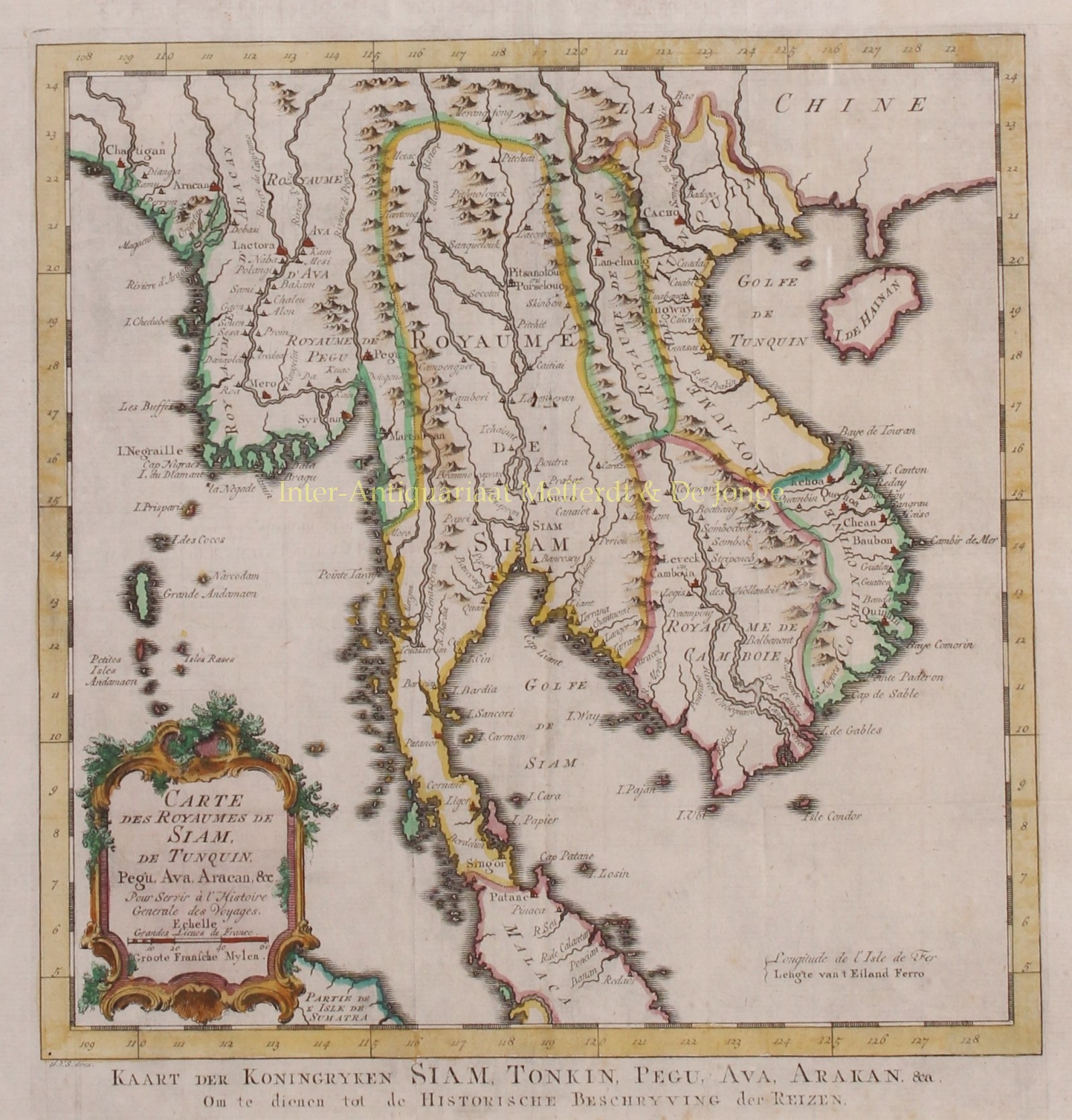
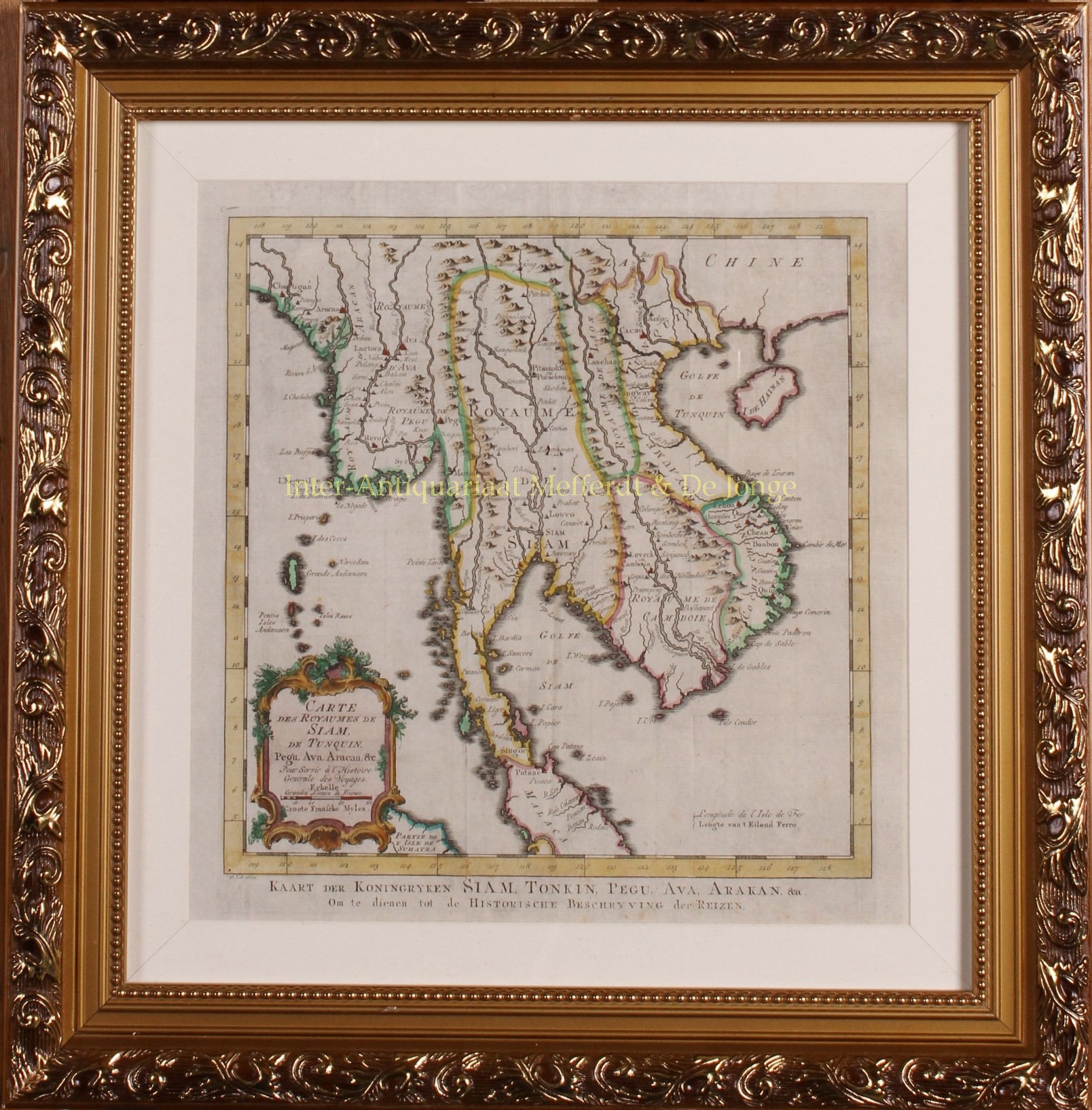
“Carte des Royaumes de Siam, de Tunquin, Pegu, Ava, Aracan &c – Kaart der Koninkryken Siam, Tonkin, Pegu, Ava, Arakan &ca.“, copper engraving by Jan van der Schley after Jacques Nicolas Bellin, published in Amsterdam c. 1760. Coloured by a later hand. Size: 27 x 27 cm.
This map of South-East Asia encompasses the former Kingdoms of Siam, Tonkin, Pegu, Ava, Cambodia, Laos and Arakan, as well as Dutch Malacca, and Hainan, modern day Myanmar, Thailand, Laos, Vietnam, Cambodia, Malaysia and parts of Indonesia and China. It is based on the information provided by French Jesuits.
In the bottom left corner, the title and scale in French miles is boxed in an elaborate baroque cartouche embellished with foliage.
Originally engraved for Bellin’s Petit Atlas Maritime Receuil de Cartes et Plans de Quatre Parties du Monde, this edition was reprinted for the Dutch edition of Abbé Prévost’s l’Histoire Géneral des Voyages. Despite producing mainly maps and views for this work, Dutch engraver and draughtsman, Jan van der Schley (1715-1779) was predominantly a portrait artist and literary illustrator.
Price: SOLD


