

Oost Friesland (Ostfriesland) – Abraham Ortelius, 1590
€550

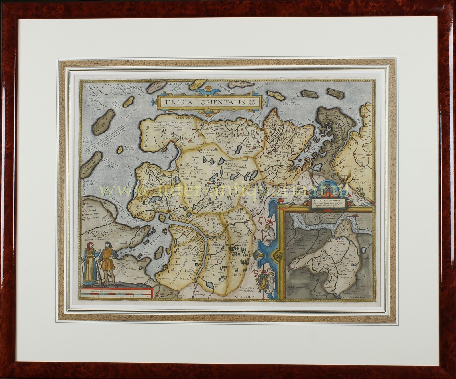
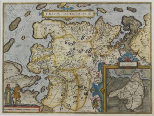
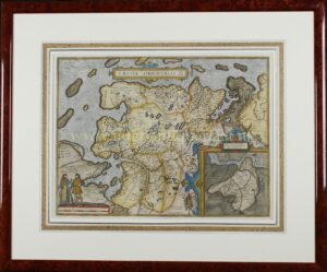
“Frisia Orientalis” [(Depiction) of East Frisia (Ostfriesland)] Copper engraving published by Abraham Ortelius in Antwerp in 1590 (or later). Withn original hand colouring. Size: 37,7 x 50,2 cm.
Beautiful map of the east Frisian islands and the northwestern tip of Germany. With people in local costumes. Nicely ornamented inset of the Ems estuary. Based on a manuscript map of Jan Bloemaert, better known by his humanist name Johannes Florianus.
Literature: “Ortelius atlas maps”, Marcel van den Broecke, Ort83.
Price: 550,- (incl. frame)