

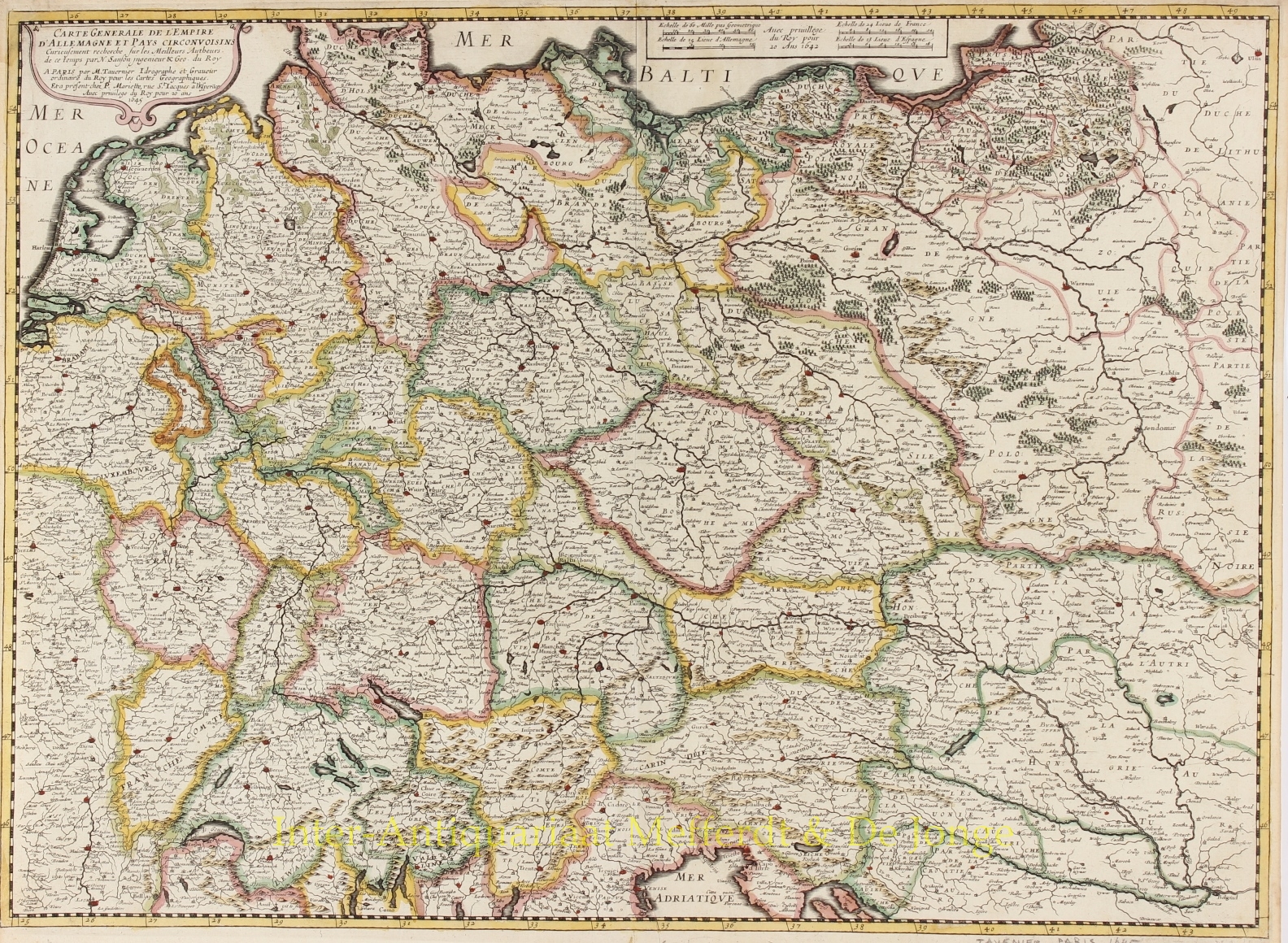
“Carte generale de L’Empire d’Allemagne et pays circonvoisins…” Copper engraving by Melchior Tavernier, published in Paris 1645, with original hand colouring. Size: 56,4 x 41,4 cm.
Early imprint of this fine map of Germany, Poland, the Low Countries, Switzerland and Austria. The map was first published by Melchior Tavernier and later by Pierre Mariette. This edition carries the dates 1642 and 1645, with the address of Mariette in the title.
Nicolas Sanson was to bring about the rise of French cartography, although the fierce competition of the Dutch publishers would last until the end of the century. His success was partly owed to the partnership with the publisher Pierre Mariette. In 1644 the latter had purchased the business of Tavernier, and helped Sanson with financial support in producing the maps.
In 1657 Marriette died, however his son, also named Pierre, co-published Les Cartes Générales de toutes les parties du Monde the following year. It was the first French produced folio world atlas.
Price: Euro450,-