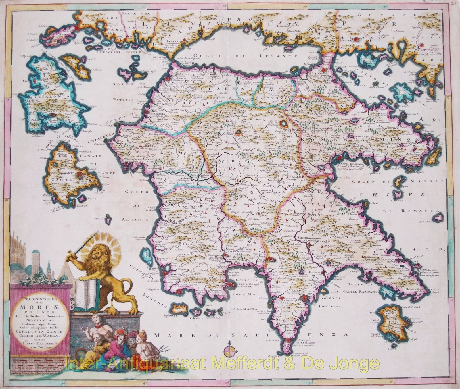
BEAUTIFUL MAP OF THE PELOPONNESIAN PENINSULA
“Peloponnesus Hodie Moreae Regnum” [Peloponnese known today as Kingdom of Morea], copper engraving published by Justus Danckerts in Amsterdam, 1684. Original hand colouring. Size: 50,9 x 59,5 cm.
The map was engraved during the Great Turkish War between the Ottoman Empire and the Holy League consisting of the Holy Roman Empire, Poland-Lithuania, Venice, Russia, and Habsburg Hungary. Intensive fighting began in 1683 and by 1687 the Venetians occupied the entire peninsula, and received recognition by the Ottomans in the Treaty of Karlowitz (1699). The Venetians established their province as the “Kingdom of the Morea“. (The Ottomans however, reconquested the peninsula in 1715.)
The momentary victory is depicted in the cartouche where a triumphant Venetian lion (winged, with open book and halo around its head) swings its sword whilst captured Ottomans lie at its feet.
Price: Euro 950,-


