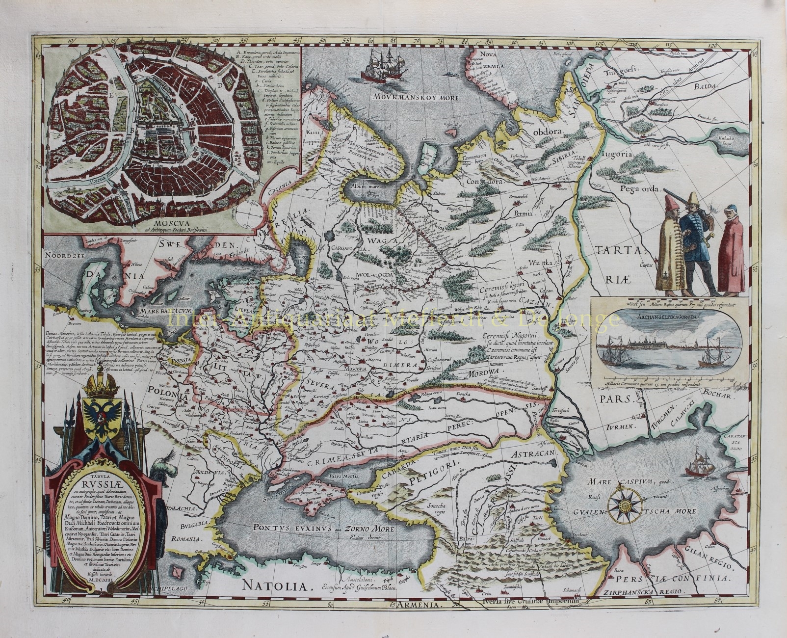
17th-CENTURY RUSSIA
“Tabula Russiae…”. Copper engraving of Russia with armorial cartouche, large inset plan of Moscow and smaller inset view of Archangelsk. Published by Joan Blaeu in Amsterdam around 1660, as part of a Latin edition of his Atlas Maior. Colured by a later hand. Size (print): approx. 43 x 55 cm.
The Atlas Maior in its various editions was the largest atlas ever published. It was justly famed (“the greatest and finest atlas ever published” – Koeman) for its production values, its high typographic standard, the quality of its engraving, ornamentation, binding and colouring. Blaeu’s atlas frequently served as the official gift of the Dutch Republic to princes and other authorities. It is one of the most lavish and highly prized of all seventeenth century illustrated books. The maps are embellished in the Baroque style, and many rank among the most beautiful ever made.
This map of Russia, originally part of the Atlas Maior volume II, is based on Hessel Gerritsz’ important 1614 map of Russia, which he compiled from manuscripts brought back by Isaac Massa. Massa was a wealthy Dutch grain trader and the envoy to Moscow during the reign of Boris Gudunov. Hessel Gerritsz in turn, was the first exclusive cartographer of the Dutch East India Company and considered one of the foremost Dutch cartographers of the seventeenth century.
Price: €2.150,-


