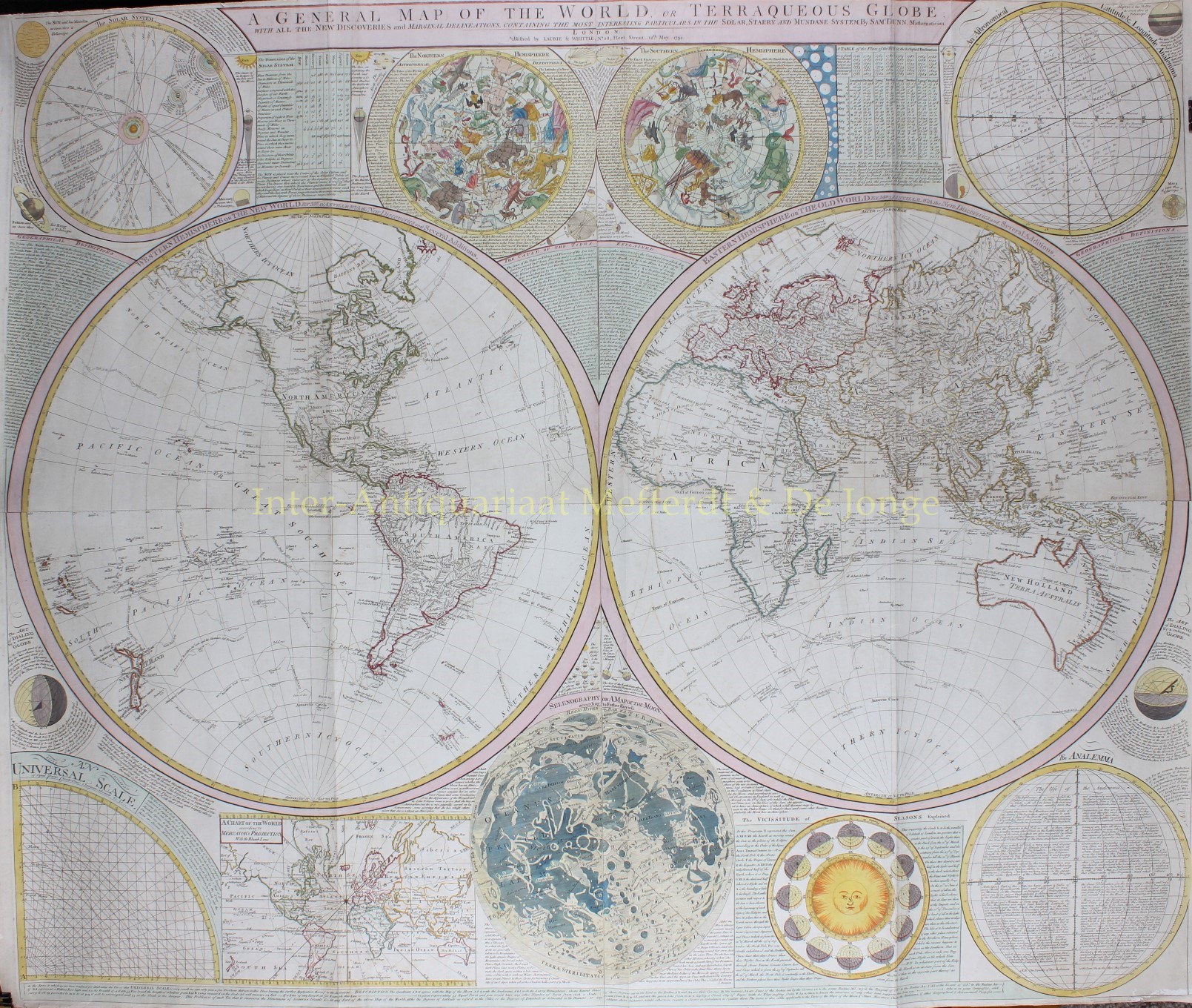
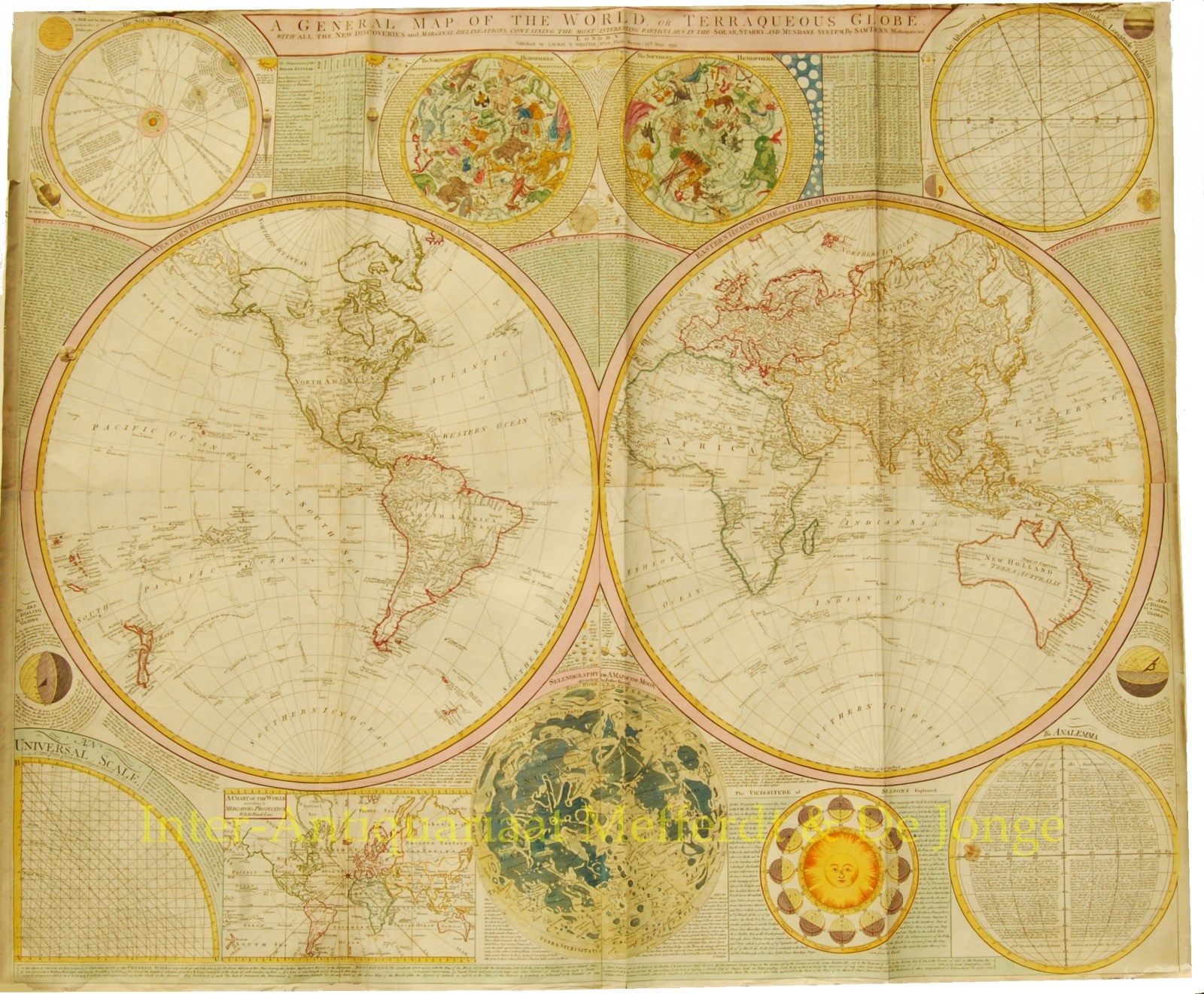
“A General Map of the World or Terraqueous Globe, with all the New Discoveries and Marginal Delineations, Containing the Most Interesting Particulars in the Solar, Starry and Mundane Systems . . . 1794“.
Drawn in London by Thomas Dunn based on earlier cartographic research by J. B. B. D’Anville. Published by Laurie and Whittle as plate nos. 1-2 in the 1797 edition of Thomas Kitchin’s General Atlas. Size: 106,7 x 124,5 cm.
Beautiful double hemisphere wall map of the world, embellished with a number of different Celestial Models. The map was revised several times to include the discoveries of Captain Cook’s 3 voyages. The general outline of North America is known in 1794. However, few inland expeditions had extended westward beyond the Mississippi. The map notes two separate speculative courses for the mythical River of the West, a northern route extending from Lake Winnipeg and a southern route passing south of Winnepeg through Pike’s lake. South America exhibits a typically accurate coastline and limited knowledge of the interior beyond Peru and the populated coastlands. A few islands are noted off the coast, including the Galapagos, which are referred to as the Inchanted Islands. The Amazon is vague with many of its tributaries drawn in speculatively. In Africa we also find the coasts well defined but a vague interior. The Nile River follows the Ptolemaic course with a presumed source in two lakes at the base of the “Mountains of the Moon”. Asia is exceptionally well mapped reflecting the most recent information available in Europe. Australia appears in full as New Holland or Terra Australis. Numerous points along the coast are named with associated notes regarding the activities of various explorers. Van Diemen’s Land or Tasmania is curiously attached to the mainland – an error that many earlier maps had long ago corrected. There is little trace of either Antarctica or the Great Southern continent.
Price: Euro 4.500,-


