

Zuidoost Azië – Nicolaes Visscher, c. 1690
€1.450
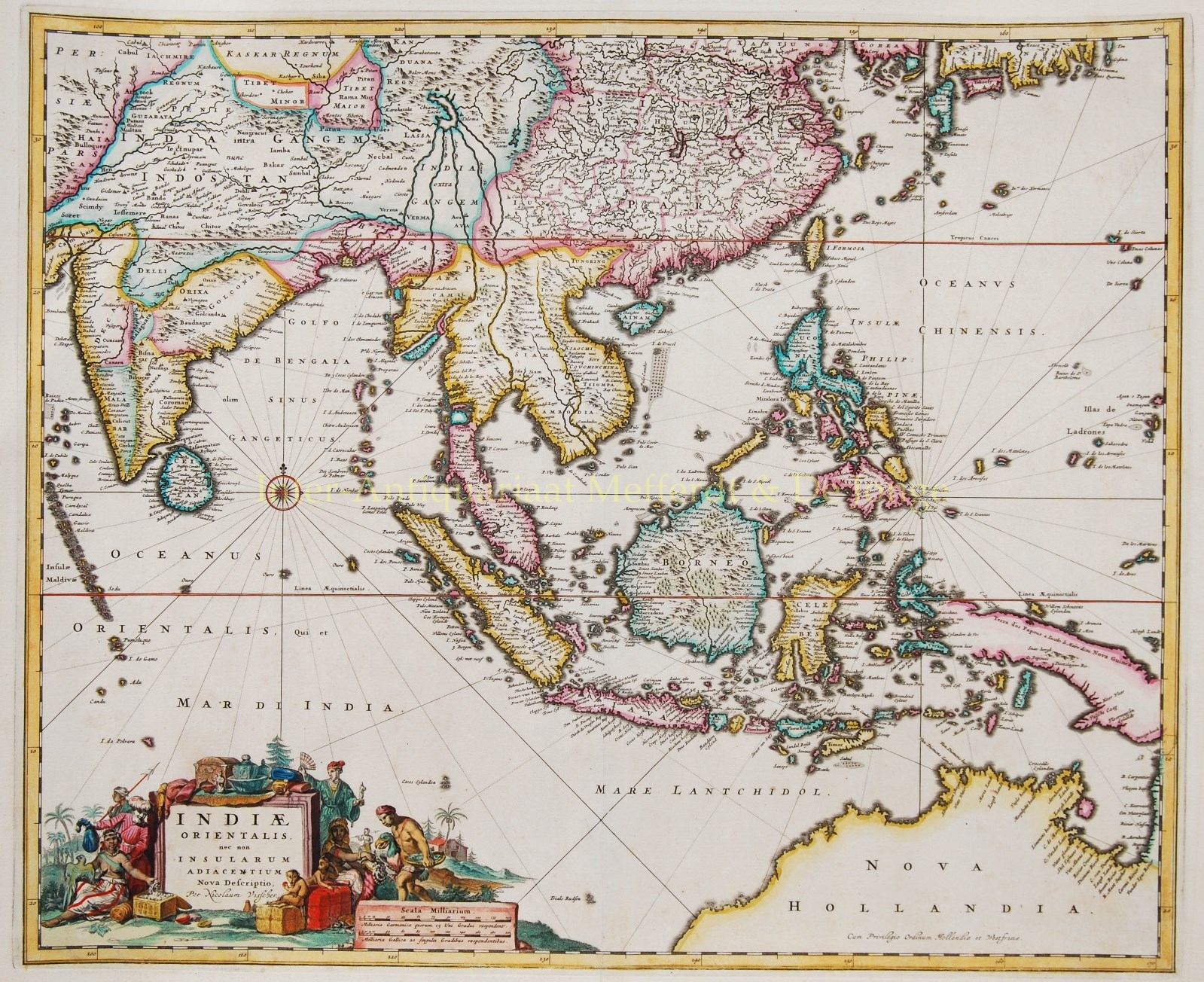
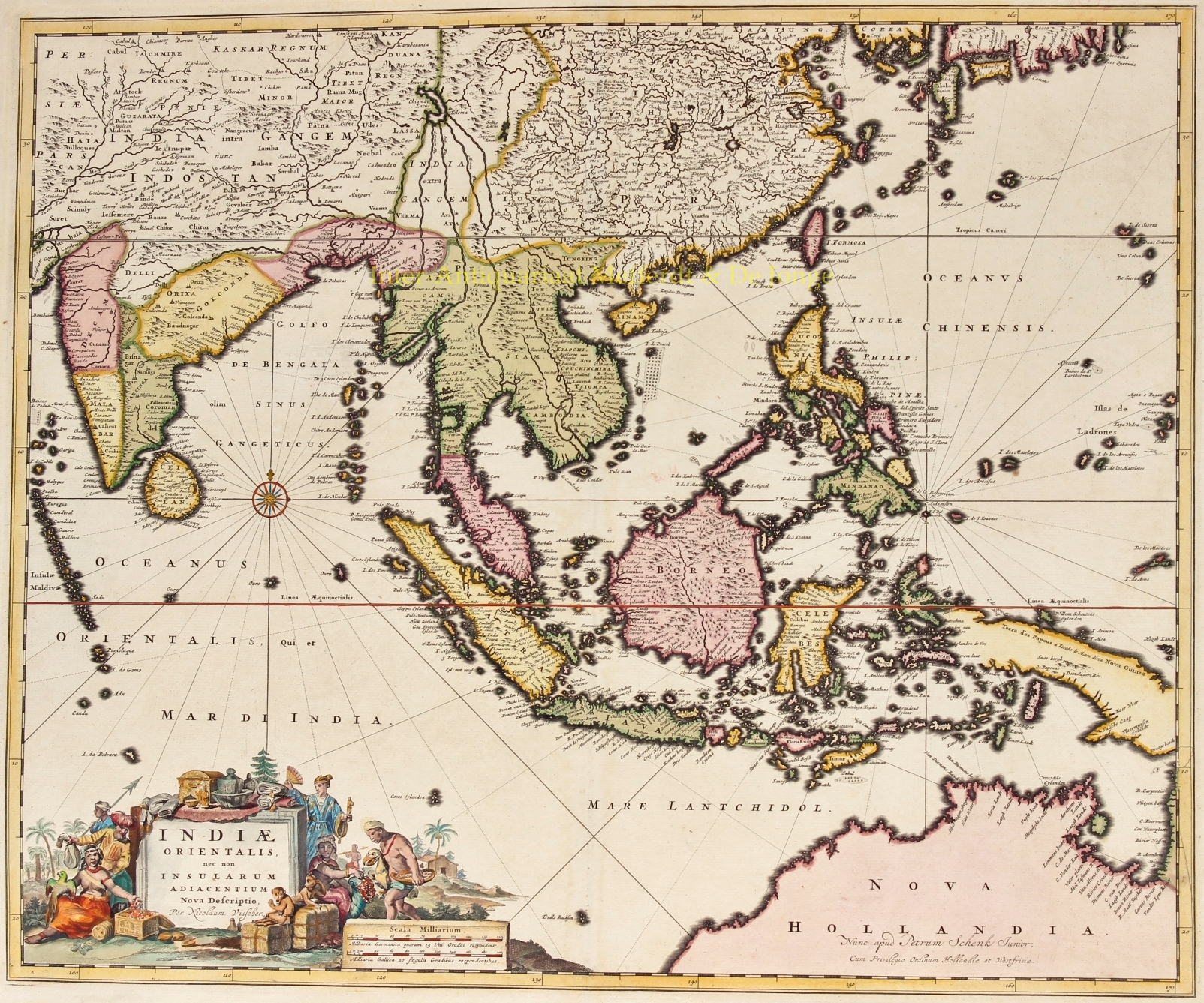

INDIA, SOUTH EAST ASIA, JAPAN AND THE NORTH COAST OF AUSTRALIA
“Indiae Orientalis nec non Insularum Adiacentium Nova Descriptio.” Copper engraving by Nicolaes Visscher II, published in Amsterdam approx. 1690. Coloured by a later hand. Size (image) 46,3 x 57,5 cm.
Beautiful map of South East Asia presenting a detailed image of the sphere of operations and the Asian trading empire of the Dutch East India Company. The map extends from India to the Philippines and the Ladrone Islands, and from southern Japan to Northern Australia (Nova Hollandia). There is a partial outline of Papua New Guinea and considerable cartographic data in the East Indies.
It is one of the most accurate early charts of the coastline of north Australia, with many places named along the Gulf of Carpentaria, including Cape Keerweer (where fresh water could be found) on the north coast, reached by Willem Janszoon in the Duyfken in 1606 when sent by the Dutch East India Company to search for new trade opportunities.
The decorative title cartouche is surrounded by various people of the region, animals, birds, and a bounty of trade goods.
For nearly a century, the Visscher family of cartographers were important mapmakers and mapsellers in Amsterdam..
Price: Euro 1.450,-