

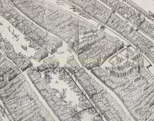
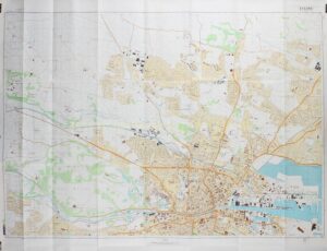
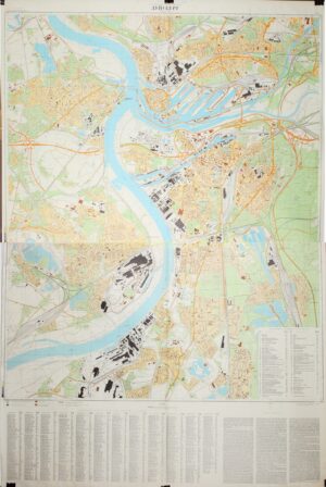
Antique city plans and maps provide a detailed record of the form and structure of cities in earlier centuries. The material offered here includes a range of early city plans, depicting streets, canals, public buildings and urban fortifications as they were understood and recorded by contemporary cartographers and engravers.
From the sixteenth century onwards, city plans were published both as atlas plates and as separately issued maps. Major centres of production, particularly in the Low Countries, developed a highly refined cartographic and engraving tradition, resulting in plans of considerable precision and visual sophistication. These works document not only the physical layout of cities, but also the political, economic and strategic importance attached to them.


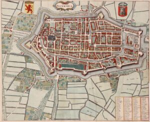
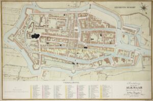


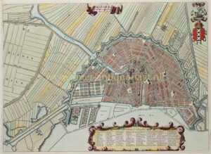
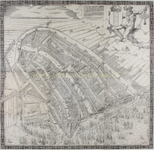


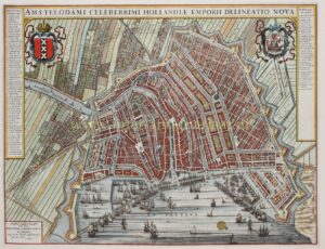


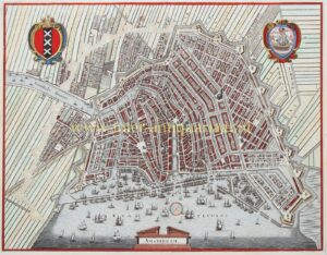


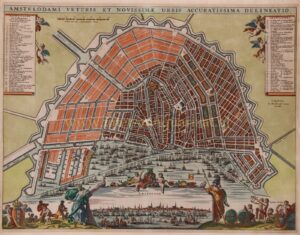

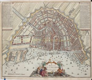


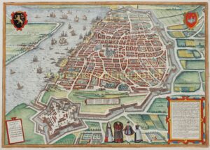


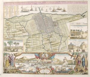
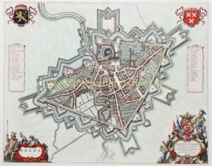

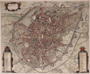

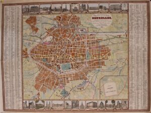

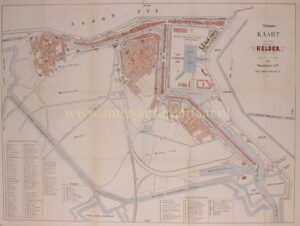


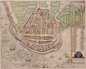
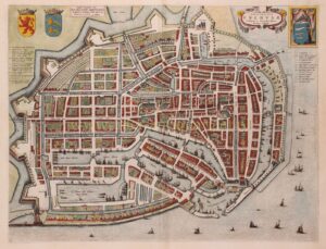
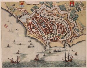

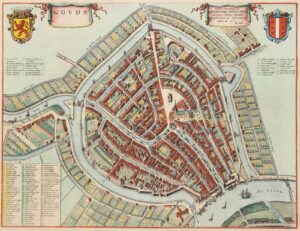


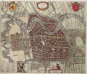
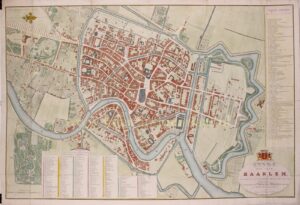

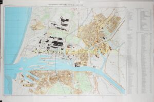
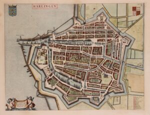
The present selection comprises antique city plans and maps from different periods and schools, including examples originally issued in atlases as well as seperate publications. Variations in state, edition and colouring are frequently encountered, reflecting the complex production and distribution of early cartographic material. Today, such early city plans are valued for their historical significance and for the insight they provide into the development of the urban landscape. They remain enduring artefacts of early modern print culture and continue to be sought after by collectors and institutions alike.