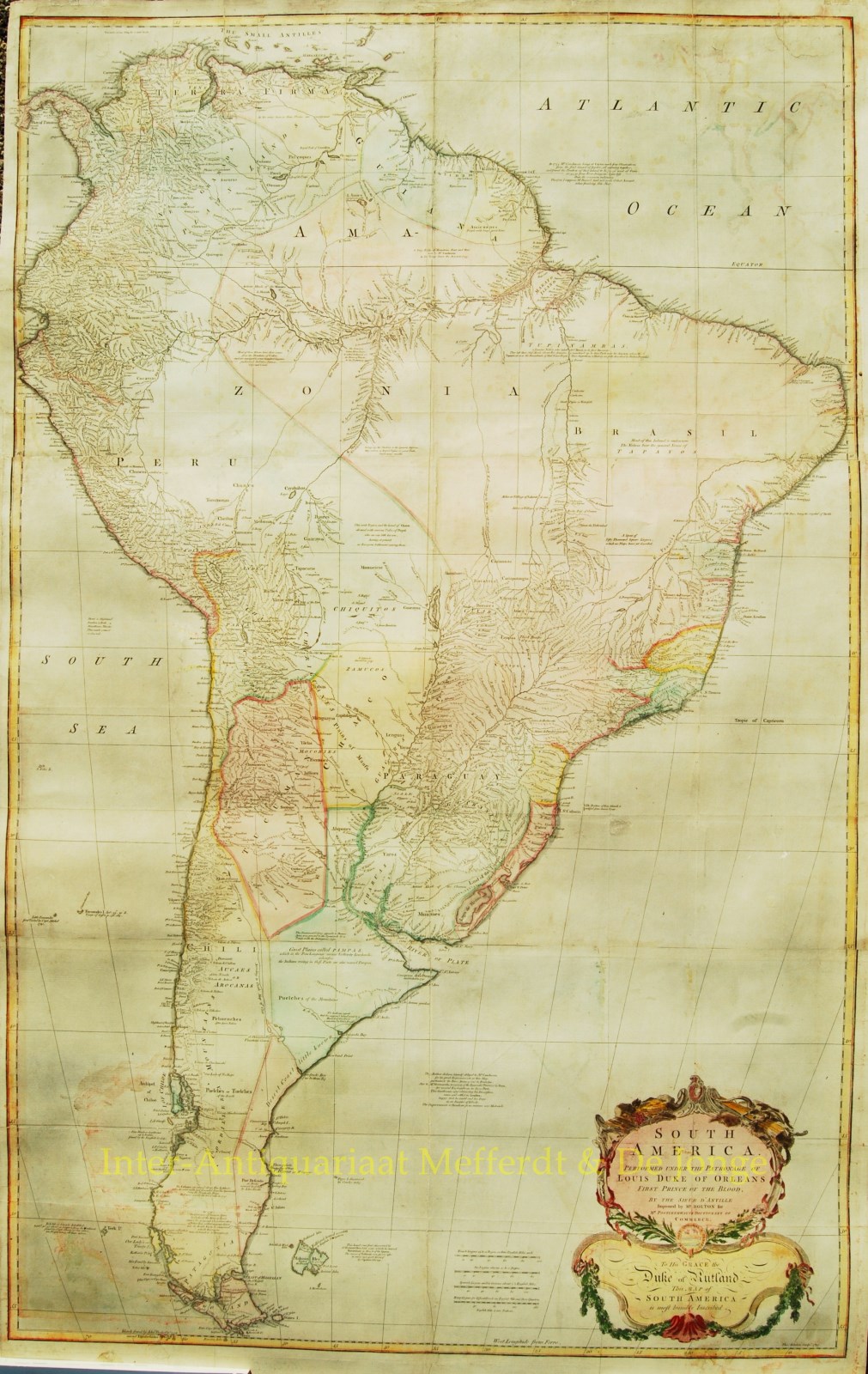
“South America. Performed Under the Patronage of Louis Duke of Orleans First Prince of the Blood.”
Engraved in 1755 by Thomas Kitchin, Published in Mr. Postlethwayt’s Universal Dictionary of Trade and Commerce. Assembled from three sheets. Coloured by a later hand. Size: 127 x 75 cm.
An extraordinary map that was beautifully engraved by Thomas Kitchin. Showing the continent on an unparalleled scale, this fine wall map spares no detail as it compiles the best information of the time. An amazing amount of detail for hydrography towns and native tribes.
This striking three-sheet map of South America includes the Falkland Islands and extends to include Grenada and most of Panama to show all of the Bay of Panama. It is very detailed describing towns, cities, forts, Indian villages and tribal territories in the interior, and good coastal information. Great detail along the Amazon with a remarkable number of villages and small towns noted along the river. This map is based on D’Anville’s map of 1746 “Improved by Mr. Bolton.” To the left of the large and decorative title cartouche in the south Atlantic are four distance scales. The lower portion is a dedication to the Duke of Rutland.
The map is filled with notations and comments, many dated.
“The Author declares himself obliged to Mr. Maldonado Governer of the Emerald Province in Peru for several explanations in those parts. This gentleman after obtaining his Dismission came and settled in London, happy that he counld end his Days in an Empire of Liberty.”
Price:


