Leiden – Caspar Merian, 1659
€975
17TH CENTURY VIEW OF LEIDEN
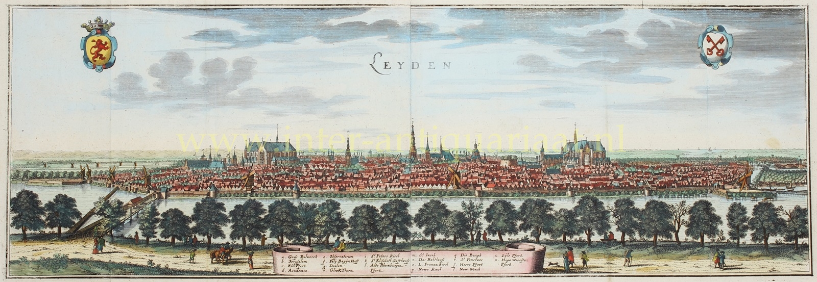
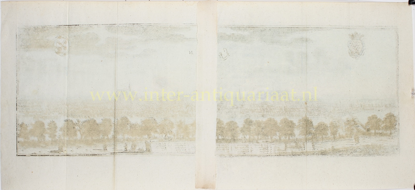
“Leyden,” engraving printed from two copper plates, made around 1650 and published in Frankfurt am Main by Caspar Merian in 1659. From the atlas Topographia Germaniae Inferioris.Coloured by a later hand. Size: 21.5 x 63 cm.
In the seventeenth century, Leiden was one of the most important cities in Holland. The city had its own university and was a production center for the renowned Leiden cloth.
In the Toonneel der steden van de Verenighde Nederlanden (town book Dutch Republic) published in 1649 by Joan Blaeu, who had studied in Leiden, the city is described as a “strong and well-built city, with elegant gates and broad fortifications. Outside the walls is a wide canal, pleasantly lined with elms under which anyone can find enjoyment.” This description is perfectly reflected in Caspar Merian’s view of the city.
Topographia Germaniae Inferioris was part of Topographia Germaniae, the most important work by copper engraver and publisher Matthäus Merian the Elder (1593–1650). This work was published jointly with Martin Zeiler (1589–1661) from Ulm, who was responsible for the text. It includes approximately 2,000 illustrations and maps of cities, monasteries, and castles and is considered one of the most significant works in the field of geographical illustrations.
In 1642, Merian began publishing this comprehensive work featuring cityscapes, landscape illustrations, and maps, for which he had been gathering drawings for decades. By 1688, the series had expanded with additional descriptions of European regions, ultimately comprising 30 volumes with a total of 92 maps and 2,142 cityscapes, making it one of the largest published books of its time.
The first volumes were engraved and published by Matthäus Merian himself. Later, engraving work was outsourced to several renowned engravers of the time, and his sons Matthäus the Younger and Caspar took over the publishing.
Price: Euro 975,-


