A bunch of loose folio maps, bound together for convenience, forms the prototype of an atlas. The publishing of atlases is a relatively young phenomenon in commercial cartography. The atlas by Abraham Ortelius, the “Theatrum Orbis Terrarum” from 1570, is widely considered as the first atlas publication. This atlas, containing at first about 70 maps, was an immediate success and publication continued through 40 or more editions until 1612. But it was not the only success story of the time.
There was extraordinary activity in every facet of map making: Gerardus Mercator’s atlas in three parts was printed in Amsterdam between 1585 and 1595; also printed there in 1584 was the first atlas of engraved sea charts “De Spiegel der Zeevaerdt” by Lucas Jansz. Waghenaer; in the Rhineland, there was the superb collection of over 500 town plans in 6 volumes compiled by Braun and Hogenberg, published between 1572 and 1618.
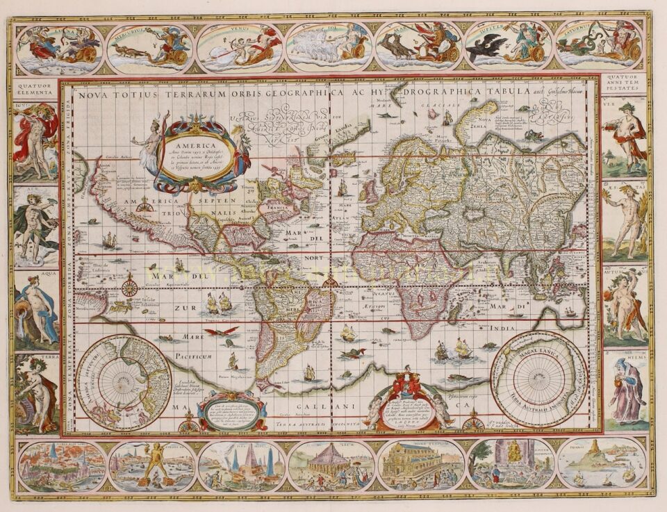
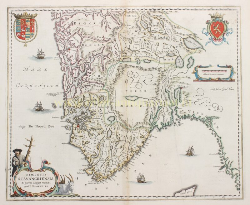
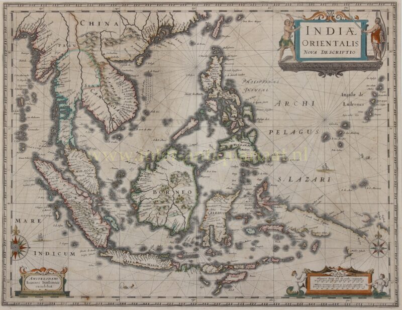
For much of the 17th century Dutch shipping dominated the world’s trade routes; as a consequence it was hardly surprising that Amsterdam supplanted Antwerp as the great cartographic centre. Their map makers kept pace with the growth of geographical knowledge and from the workshops of Hondius, Blaeu, Jansson, De Wit and others the European market was supplied with atlases, sea charts, town plans and every kind of map reflecting the expansionism of the age. The maps produced in this period have always been highly esteemed as superb examples of engraving and design, never equaled in any other age.
It was to France that the initiative and map producing passed from the Dutch at the end of the seventeenth century. Secure in royal patronage and support, especially during the long reign of Louis XIV, French cartographers took the lead in scientific mapping by astronomical observations and by triangulation and the names of the Sanson and Cassini families, Delisle, d’Anville and others, dominated the map world.
Towards the end of the 18th century, a new style of maps, as demanded by the modern world, was severely practical and utilitarian, and finally brought to an end the long history of decorative map making of which we have so many beautiful examples for sale in our shop.


