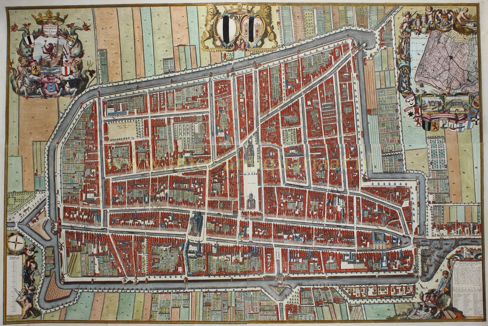
FAMOUS WALL MAP OF DELFT
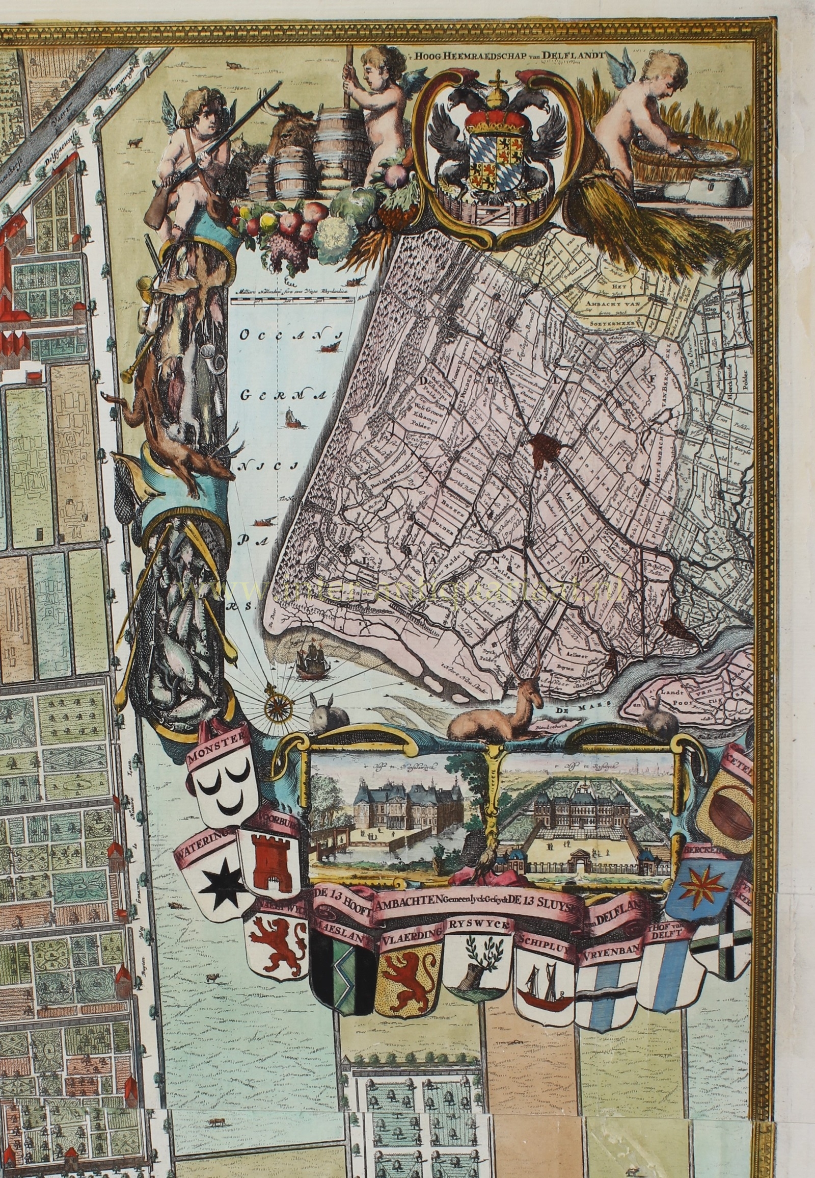
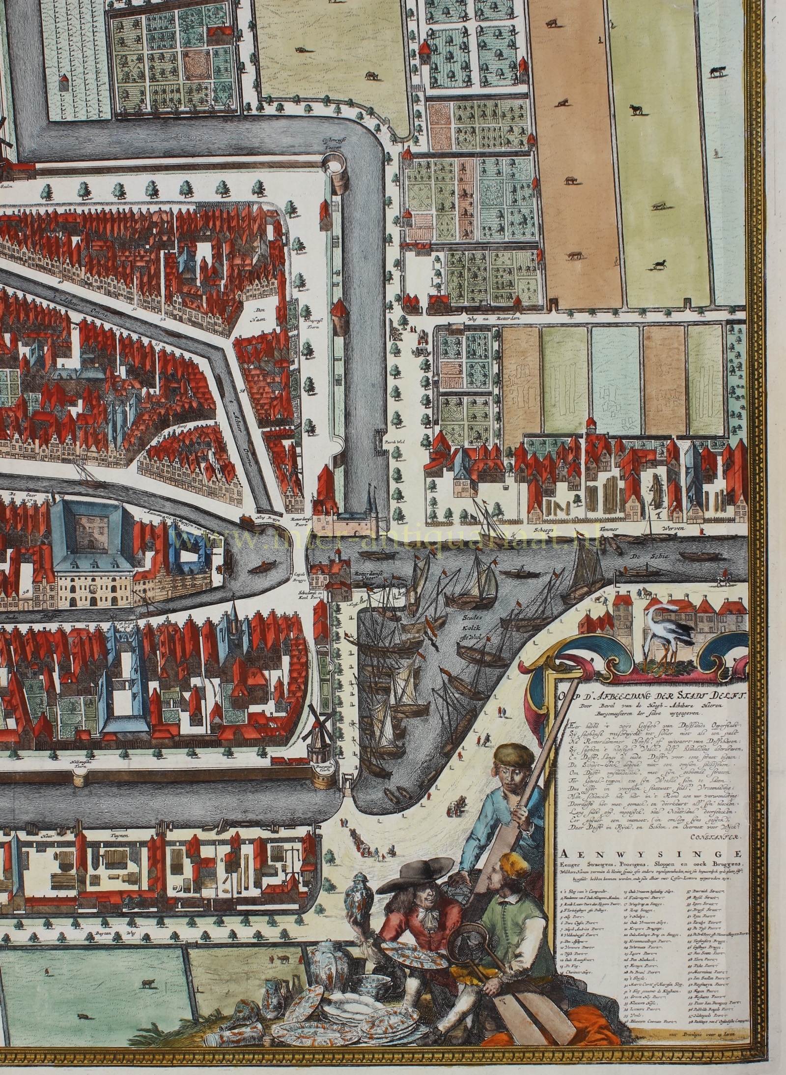
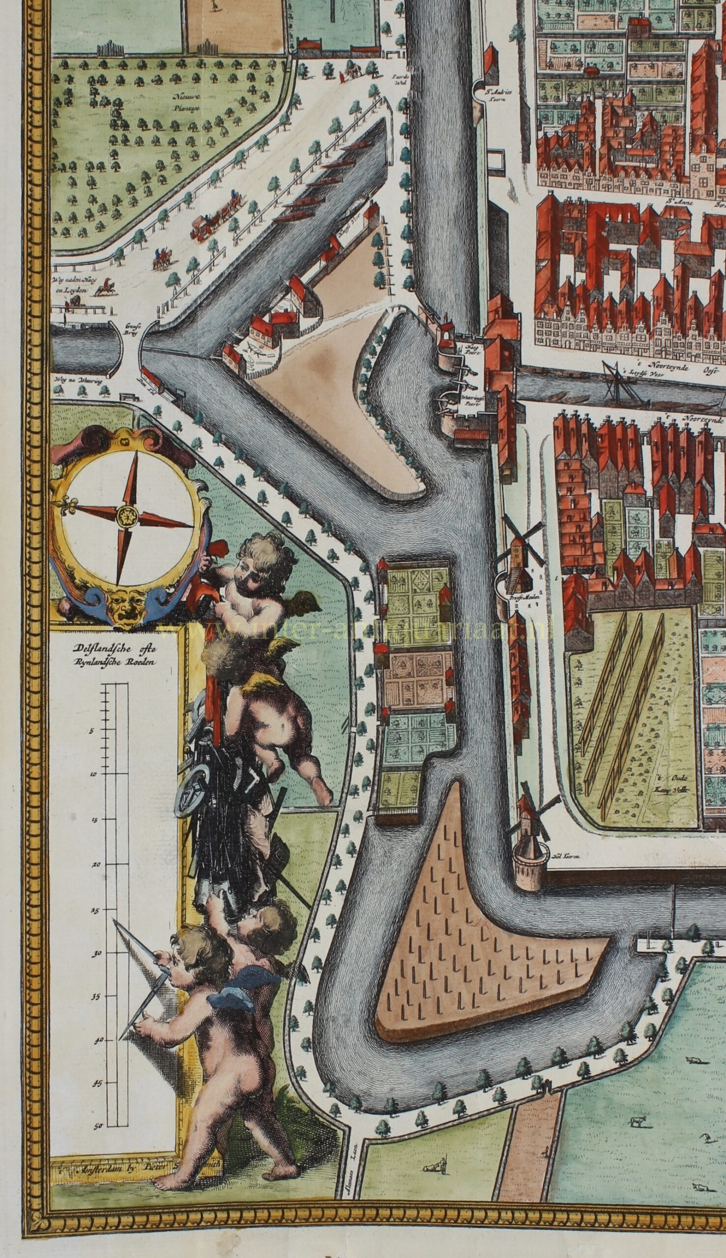
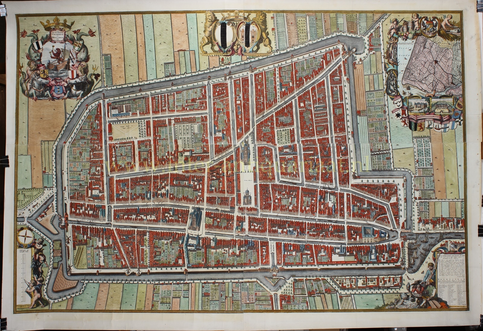
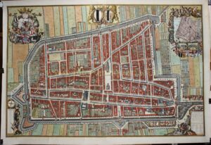
“Kaart Figuratief” of Delft, engraving printed from four copper plates made by Johannes de Ram (1648-1693) and first published by Andries Smith in 1678, here in its second state printed in 1703. Coloured by a later hand. Size: approx. 92 x 121 cm.
With the help of a team cartographers, surveyors, draftsmen, engravers, and printers, this map was created within three years under the supervision of Dirk van Bleyswijck (1639-1681), who became mayor of Delft in 1675. Van Bleyswijck wanted to create a representative status symbol of Delft with the map. Several other Dutch cities already had such a beautiful large wall map, and Van Bleyswijck believed Delft should not be left behind.
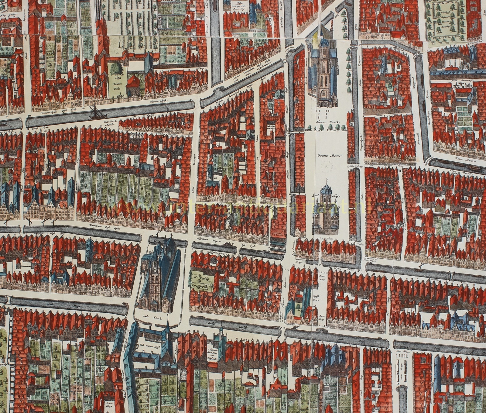
Surveyor Jacob Spoors was tasked with the actual mapping of the city. Using the much smaller map by Joan Blaeu from 1649 as a starting point, he re-measured the entire city and updated the map. For instance, in 1654, the explosion of a ship with gunpowder had destroyed a large part of the city, after which the Paardenmarkt was built.
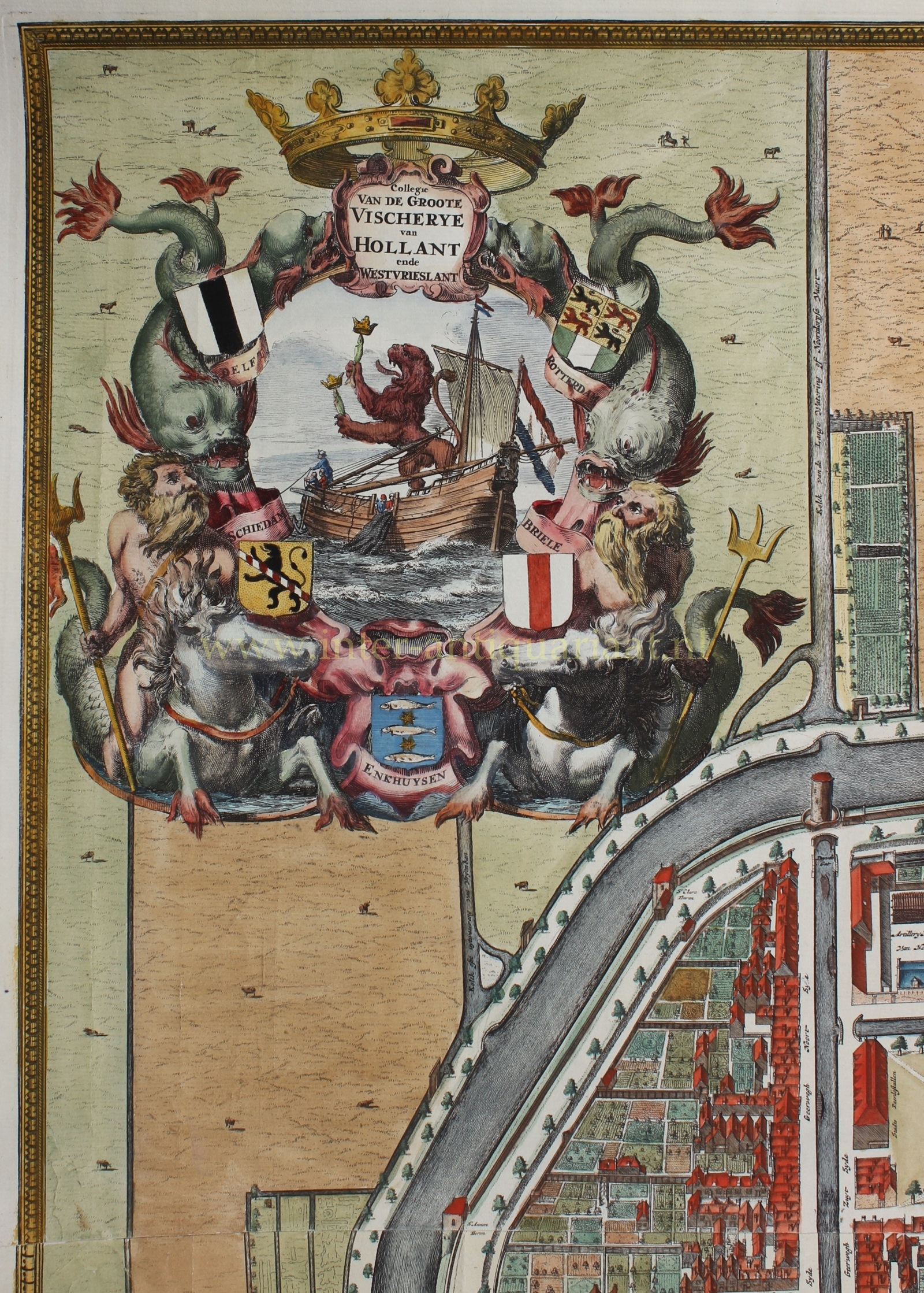
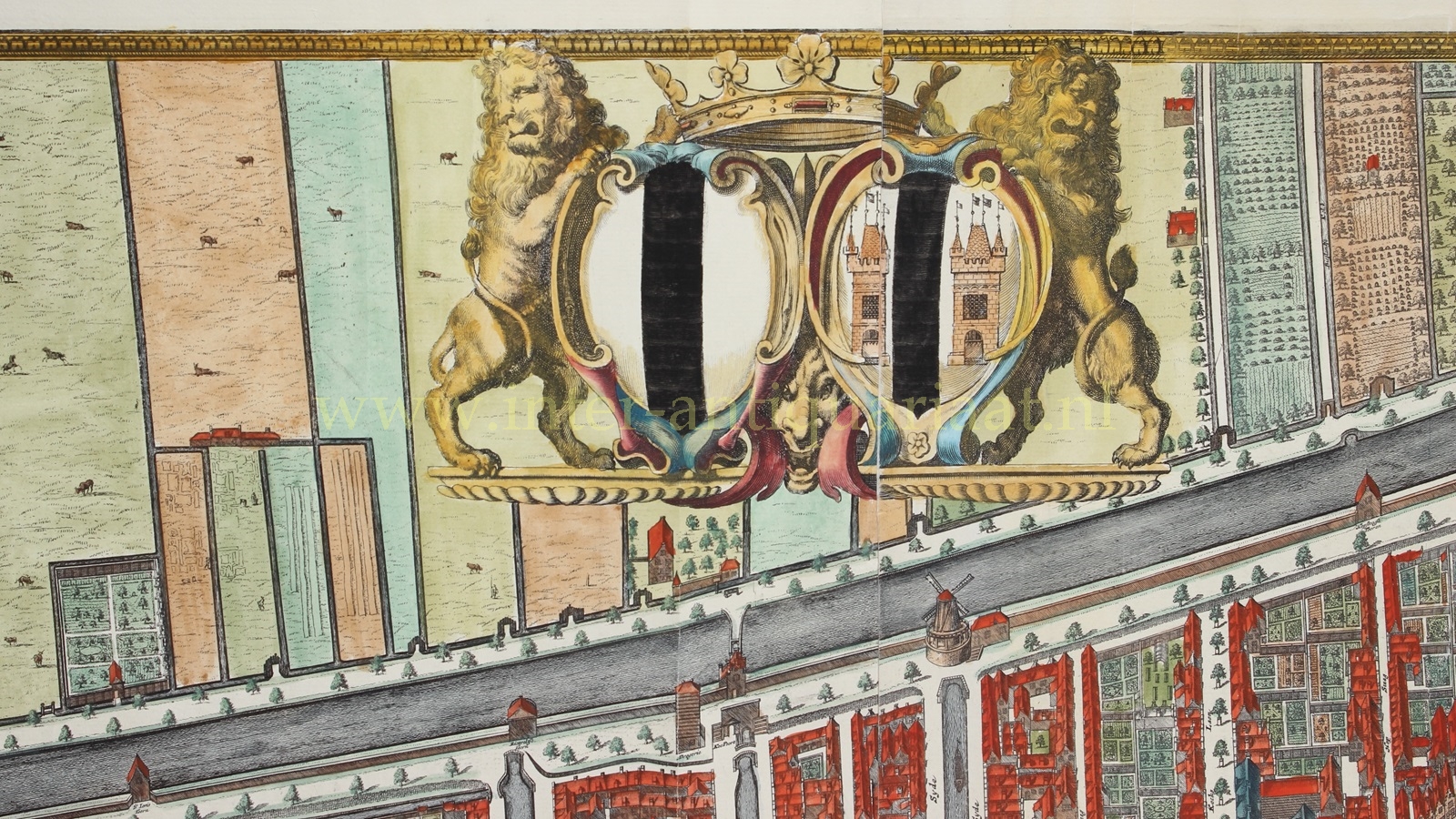
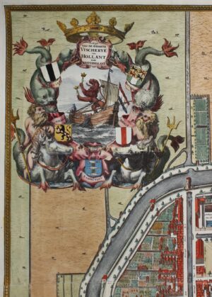
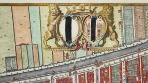
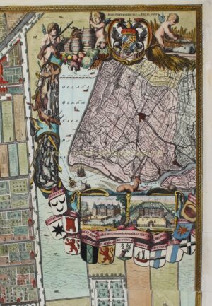
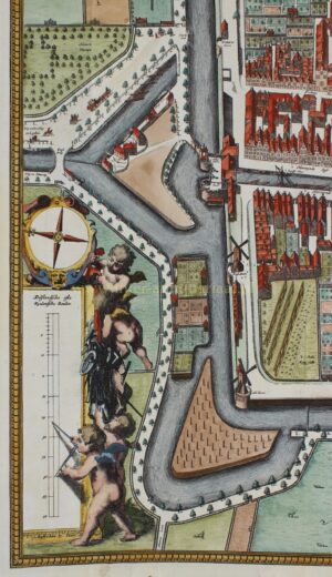
Painter/draftsman Johannes Verkolje (1650-1693) was responsible for the drawings of the churches, houses, mills, in short, almost everything visible on the map. Engraver Johannes de Ram (1648-1693), using the drawings as a reference, made the copper plates for the final printed map. He also added the decorative elements to the map, including human figures and animal, inscribed names and numbers, and the compartments in the four corners and at the top center. Coenraet Decker (1651-1685) engraved the compartments of the Grote Visserij or the Hoogheemraadschap of Delfland, in the upper corners. Gerrit Wingendorp and Andries Hoogenboom engraved the letters for the ‘beautiful’ texts.
Johan Verkolje initially made an agreement on behalf of Van Bleyswijck with The Hague publisher Johannes Rammazeyn to print and publish the map. However, Rammazeyn turned out to be an unreliable partner as he refused, even after repeated urging, to pay several invoices from the engravers De Ram and Decker. Consequently, the engravers had to take on other work, causing delays in the work on the “Kaart Figuratief.” The relationship with Rammazeyn was severed, and the Amsterdam publisher/printer Pieter Smith took over the work. The engravers regularly sent proofs of the map (and surrounding views) to Van Bleyswijck, who returned them with numerous corrections and additions. The engravers found themselves burdened with more work than they had anticipated. They complained that the draftsman did not provide good drawings or that they received information about certain buildings to be depicted when it was too late, forcing them to redo their work. In the end, they had to work under extreme pressure to meet Van Bleyswijck’s deadline of completing the map in time for the Delft fair on June 13, 1677, working 19-hour days. However, they did not succeed. Since Johannes de Ram refused to hand over the copper plates he had made until he was fully paid, the map was finally published only in 1678.
The creation of the map revealed some imperfections. The four prints from the copper plates did not fit together well. Engravings are printed on damp paper, which shrinks as it dries. Because the paper did not have a consistent composition and was not always equally wet, differences in size arose, causing significant problems. The plates themselves were also imperfect and did not show seamlessly connected images. Nevertheless, master mounter David Reerigh managed to create an acceptably mounted map.
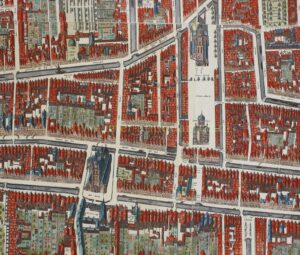
The map is so detailed that every street, every bridge, every building, even the smallest house, appears to be depicted meticulously. Even details such as arbors, benches, posts, and garden statues can be seen on the map.
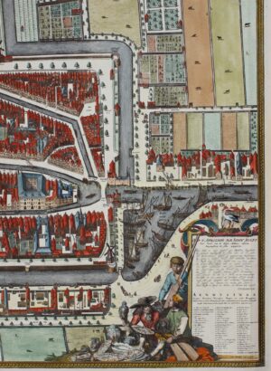
The beautifully executed plan was enriched with cartouches made by master engraver Romeyn de Hooghe (1645-1708). The laudatory poem (bottom right) about the city is by Constantijn Huygens (which reads in modern English):
“Honor to the wise authority of Delft’s capital city:
They saw it misused almost like a mere path
To Rotterdam’s Head, or the departure from Delfshaven;
They saw the hurried people, half-blindly rushing through,
And Delft, along the old Delft canal, treated as a mere street:
The barge bell didn’t allow for a moment’s pause,
To let Delft, with its polished streets,
Be seen in its splendor up to the rooftops.
Thus it is provided: stand still, Stranger,
It is offered here all around for your amazement:
Traverse Delft at ease, and examine all its corners,
Long you may search all of the Netherlands,
Before you find one (similar),
Where Delft surpasses in richness, beauty, and cleanliness.”
Next to the laudatory poem, merchants display their wares: the famous Delft pottery, which at that time was produced by about 30 small factories.
(To make the map more impressive, 32 city views and a large profile of the city were also made, which were published separately and could be mounted around the map. These border prints are not present in our copy.)
So the map was created between 1675 and 1678, but in 1703 it was reprinted. The copper plates were modified in several places for the occasion. The most notable change in this second state is the addition of the large building constructed in 1692 as an extension of the Armamentarium. Therefore, the map shows buildings, bridges, and trees that did not exist around 1675 but also those that might have disappeared or changed by 1703. (As far as we know only a single copy of the first state of the map has survived.)
Literature: H.L. Houtzager, “De Kaart Figuratief van Delft” (1997).
Price: Euro 8.250,-


