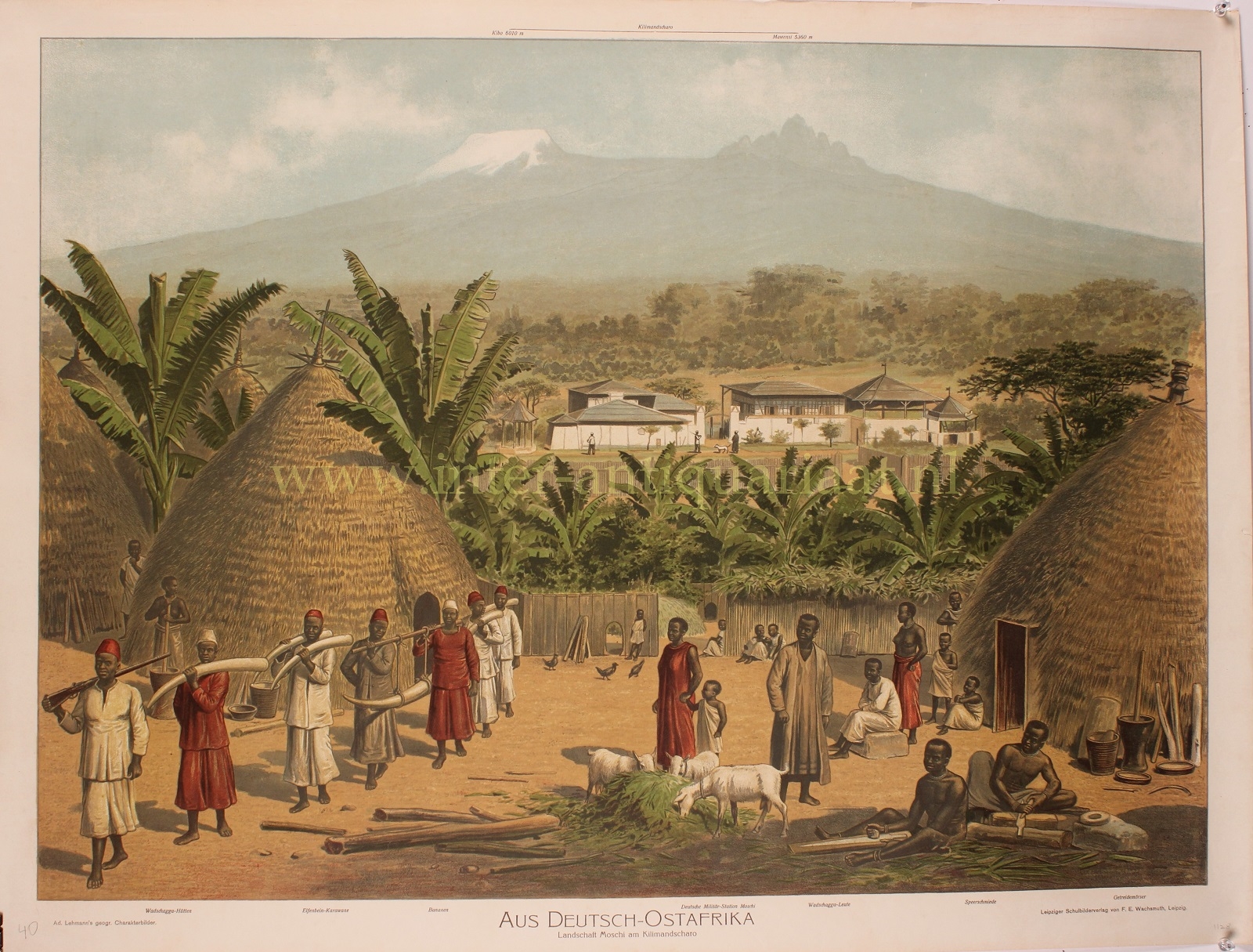
„Aus Deutsch-Ostafrika. Landschaft Moschi am Kilimandscharo“ (from German East Africa. Landscape of Moshi at Kilimanjaro.) Lithograph made around 1900 by Adolf Lehmann for a series of Geographische Charakterbilder” published by the Leipziger Schulbilderverlag von F. E. Wachsmuth. Size: 59.5 x 82 cm.
German East Africa was a German colony in the area that roughly corresponds to Burundi, Rwanda, and the mainland of present-day Tanzania. Its territory was almost three times the size of modern-day Germany.
The colony was established in 1885. Mount Kilimanjaro was considered the “highest mountain of Germany” during the German Empire and was also known as the “Kaiser-Wilhelm-Spitze.” It symbolized Germany’s global ambitions in the race for the division of the “Dark Continent.”
Colonists (approximately 5,350 Germans in 1913) established plantations for rubber, hemp, cotton, and coffee. In this view, you can see Moshi, one of the places where a garrison of Schutztruppen (colonial troops) was stationed. Ivory trading was also prominent, as shown by the “ivory caravan” here.
After the defeat of the German Empire in World War I, the territory was divided between the United Kingdom and Belgium. Later, it was transformed into a mandate territory.
Price: Euro 375,-


