

New York City – George Hayward, 1858
€525
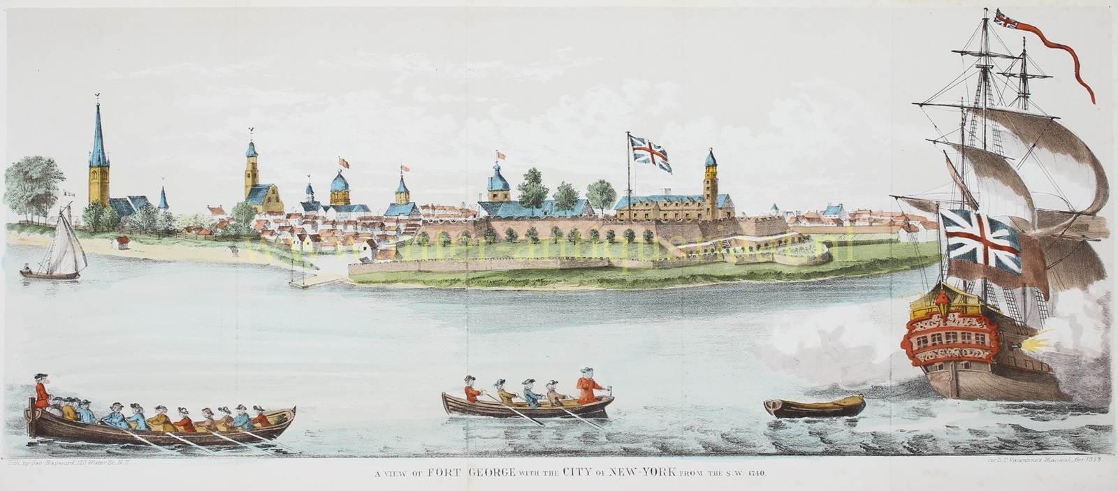
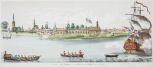

VIEW OF NEW YORK CITY FROM THE SOUTHWEST
“A View of Fort George with the City of New-York from the S.W. 1740.” Lithograph made by George Hayward for David Thomas Valentine’s “Manual of the Corporation of the City of New York” of 1858. Coloured by a later hand. Size: 16,5 x 39 cm.
In 1624 the Dutch West India Company established the colony of New Netherland. It grew to encompass all of present-day New York City and parts of Long Island, Connecticut, and New Jersey.
Fort George was located on the site originally occupied by Fort Amsterdam, erected by the Dutch in 1625-26 as the administrative and military hub for their colony. It was charged to defend New Netherland by defending river access to the Company’s fur trade operations in the Hudson River. It remained a Dutch possession until September 1664, when it fell to the British Army. It was briefly reoccupied by the Dutch from 1673 to 1674 as Fort Willem Hendrick. The British renamed it Fort William Henry in 1691, Fort Anne or Queen’s Fort in 1703, and finally Fort George in 1714. The north side bastions and ramparts were destroyed in the American Revolutionary War in 1776 by the Americans and finally demolished in 1790. The site is now the location of the Alexander Hamilton U.S. Custom House in Lower Manhattan. Its rubble was apparently used for the landfill that became Battery Park.
This view is based on A View of Fort George with the City of New York from the S W, drawn by John Carwitham and published by Carington Bowles some time after 1764, which is the earliest view of the city from the west. The date depicted by the view is between 1724, when Trinity Church was extended to the eastward, which enlargement distinctly shows in the view, and March, 1741, when the church in the Fort, which also appears, was destroyed by fire.
David T. Valentine (1801 – 1869) served as the Clerk of the Common Council of New York City. He edited and published a series of New York City almanacs and fact books entitled “Manual of the Corporation of The City of New York.” “Valentine’s Manual,” as it came to be called, included facts about the City of New York, City Council information, city history, and reported on the progress of public works such as Central Park. They contain hundreds of maps, lithographs and woodengravings of New York City, often of sites demolished earlier such as this view of Fort George.
Price: Euro 525,-