Antwerp panorama – Jan Bapitst Vrients, 1652
€16.500
MAGNIFICENT VIEW OF ANTWERP
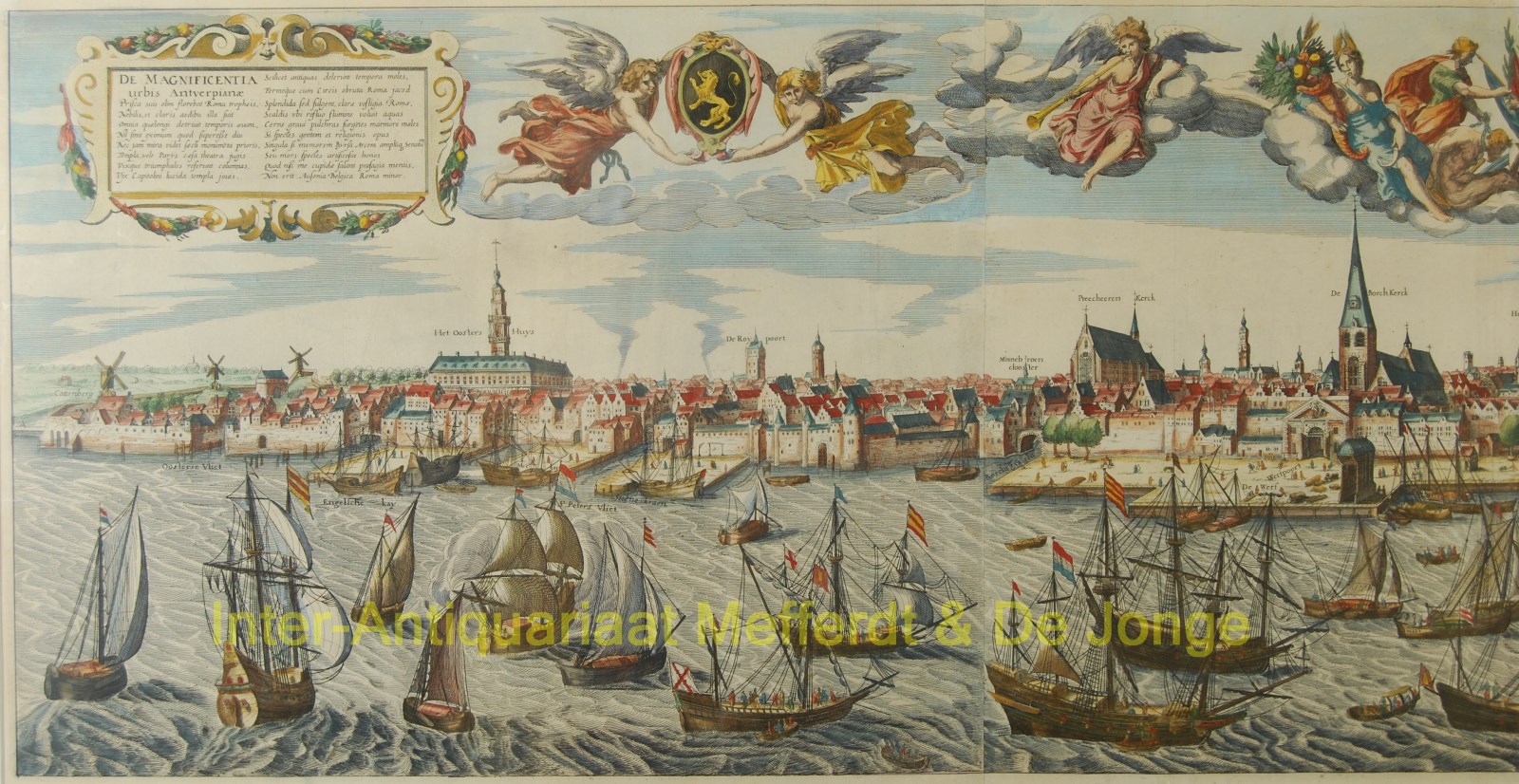
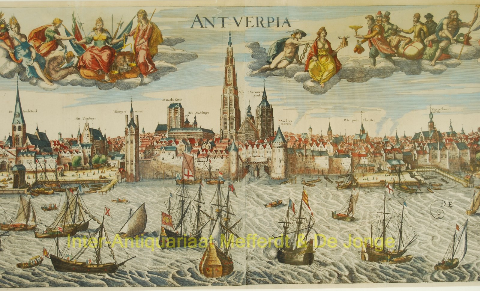
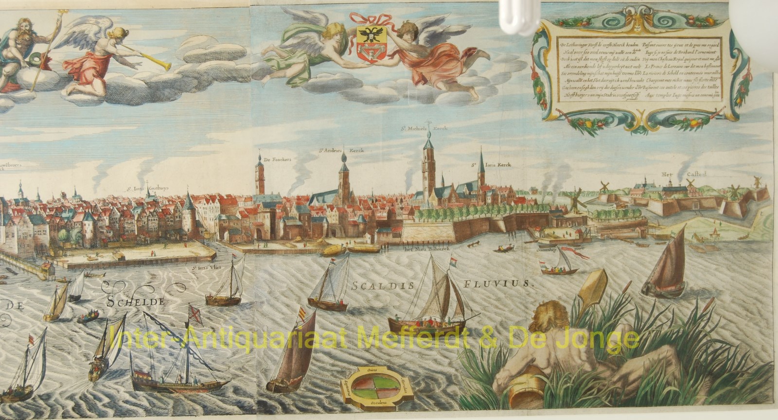
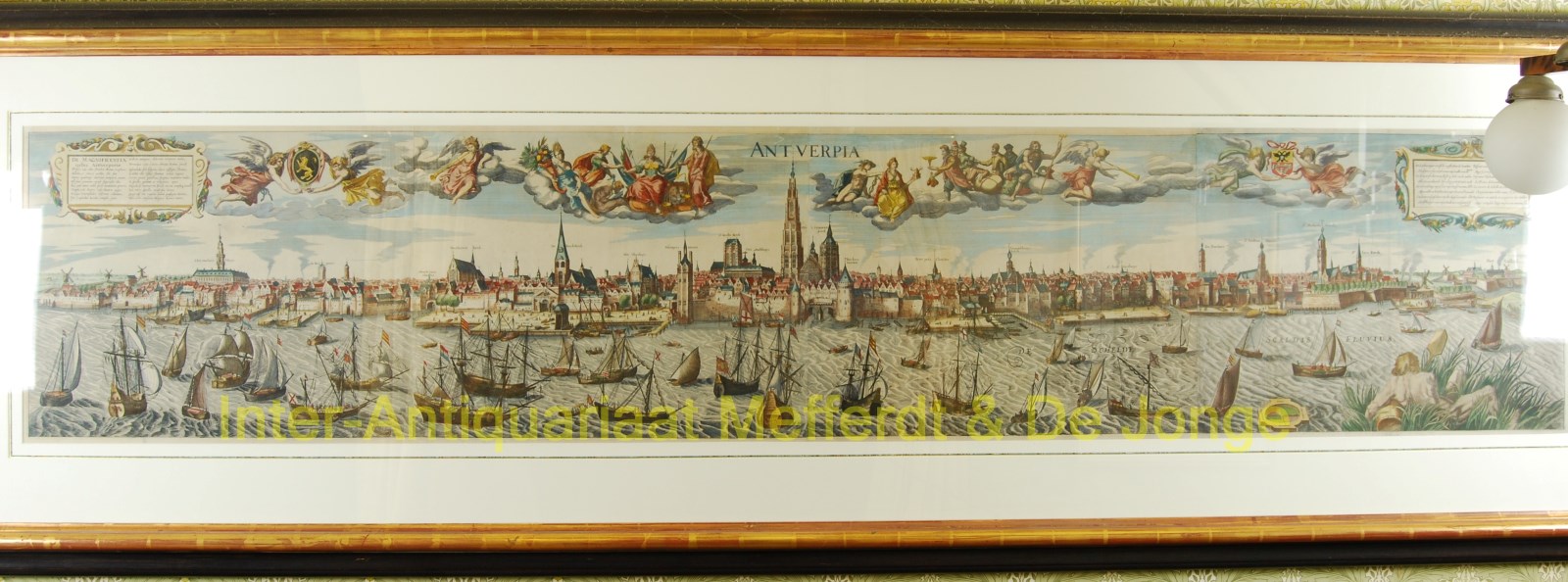
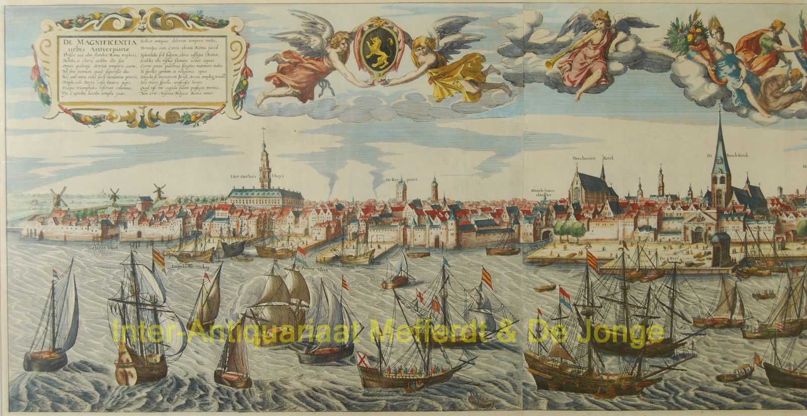
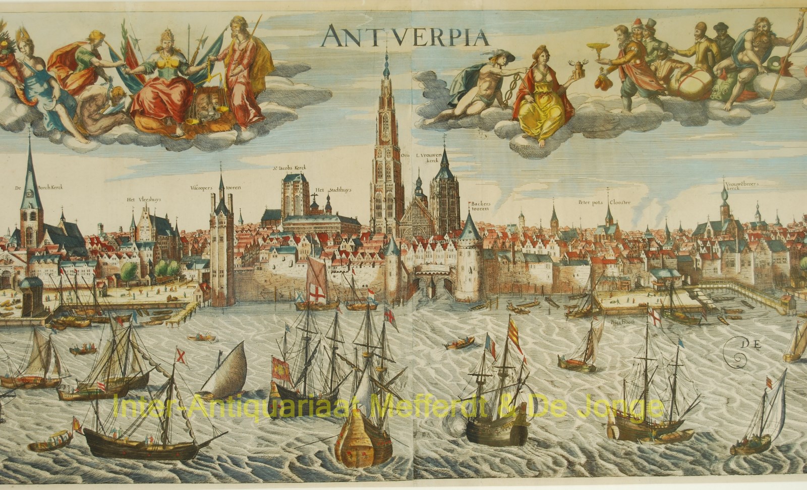
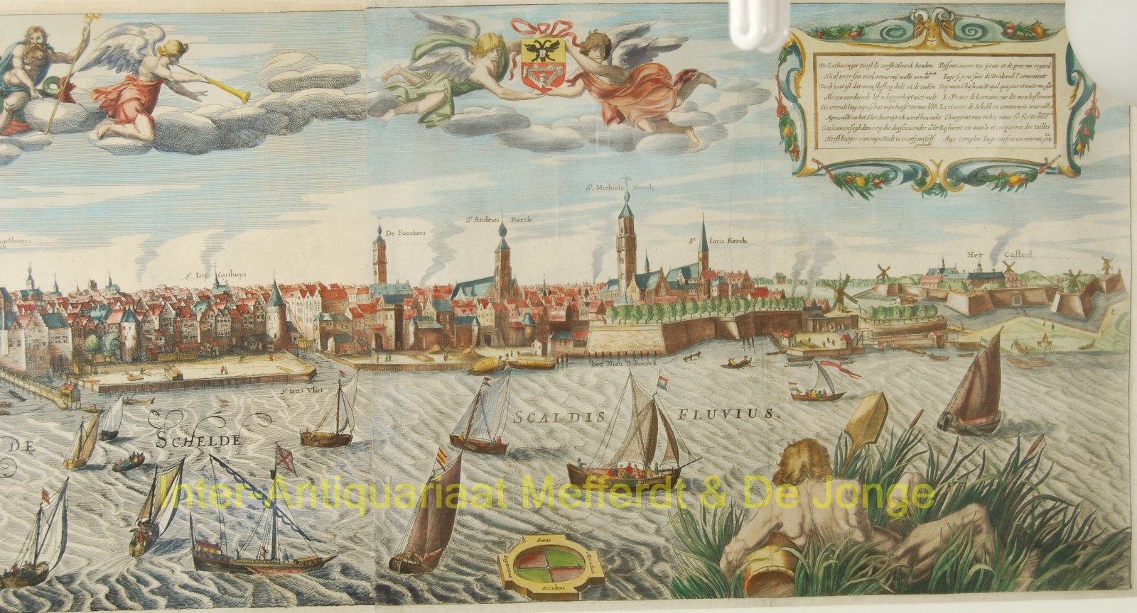
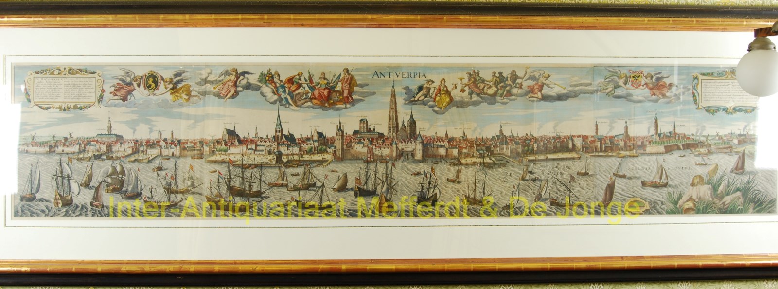
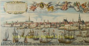
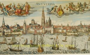
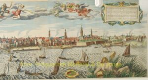
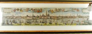
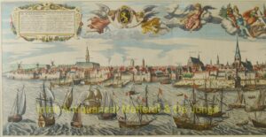
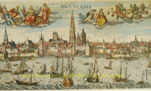
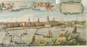
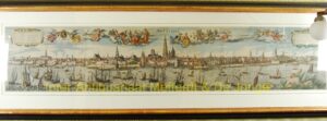
“Antverpia,” copper engraving on four sheets, first published in 1610 by Jan Baptist Vrients, here in an edition printed after 1652. With partly original, partly later hand colouring. Size: (print) approx. 43 x 219 cm, (frame) 80 x 255 cm.
The view of Antwerp has exerted a fascinating attraction on artists: no other port city in the 16th and 17th centuries has its harbour depicted as often on paintings and prints as Antwerp. Several graphic artists have given us a panoramic view of the entire harbour complex in monumental perspectives. The three main views each became masterpieces in the genre: an anonymous woodcut from 1515, an engraving by Frans Huys made in 1556, and the 1610 depiction of the city by Jan Baptist Vrients shown here.
The commissioners for the creation of this city view were Archduke Albert and his wife Isabella, who ruled the Habsburg Netherlands from 1598 to 1621.
In 1609, an agreement was reached in Antwerp on a truce, followed by the Twelve Years’ Truce and the recognition of the Dutch Republic as a sovereign power. With the end of hostilities and the resulting recovery of agriculture, prosperity increased for the returning population. Protestants who had earlier left the southern Netherlands were now tolerated under new legislation. These events combined created a mood of victory and praise, depicted in this panorama.
Jan Baptist Vrients’ engraving shows allegorical representations in the emerging Baroque style above the cityscape. From left to right: the coat of arms of Brabant; a trumpet-blowing Pheme, goddess Abundantia, Power flanked by Victory and Lady Justice; the city of Antwerp with Mercury and foreigners bringing treasures; the coat of arms of the Margraviate of Antwerp. At the top left, a cartouche with an 18-line Latin ode to Antwerp under the title “De magnificentia urbis Antverpianae“; the cartouche on the right contains another ode in Dutch and French (in approximate English translation):
“The Lotharingian Prince, the first Henry, built
My walls along the Scheldt so many centuries ago.
But what use is boasting of deeds of the old,
If well-earned praise does not recount your bravery?
See, stranger, my wealth, my houses, towers, and churches,
My walls and the Fortress from which I am guarded.
Go forth and freely say, these thousand wondrous works
Were created by the citizens of my city, in prosperity, themselves.”
Jan Baptist Vrients (1552–1612) was specialized in publishing maps. After the death of Abraham Ortelius (in 1598) and Gerard de Jode (in 1591), he was the only significant Antwerp publisher who continued the cartographic tradition of Antwerp’s Golden Age, albeit partly using material from his predecessors. He was able, for instance, to purchase copper plates from Ortelius’ sister, allowing him to reissue Ortelius’ famous “Theatrum Orbis Terrarum” multiple times.
Our 1610 panorama is therefore exceptional in Vrients’ body of work. It is not known whether he personally engraved the print or if he merely acted as the publisher. Some sources suggest that the plates were made by Hans Rem, who also created a large view of Amsterdam in 1606.
Vrients passed away in 1612. His inventory was publicly auctioned in April of that year. Ortelius’ old copper plates were bought by Balthasar and Jan Moretus, though other enthusiasts also attended the auction. The copper plates of the habour view seem to have found their way to the North. Certain prints bear the name of the engraver Johannes Loots (1630) from Amsterdam, and there are also copies known with the name of Claes Jansz Visscher (1652).
This example without the name of a publisher, must have been made after 1652.
Literature:
- see Hollstein’s Dutch & Flemish Etchings, Engravings, and Woodcuts ca. 1450 – 1700, vol. XLIX, no. 61
- Adrien Jean Joseph Delen “Iconographie van Antwerpen,” 613
Price: Euro 16.500,-


