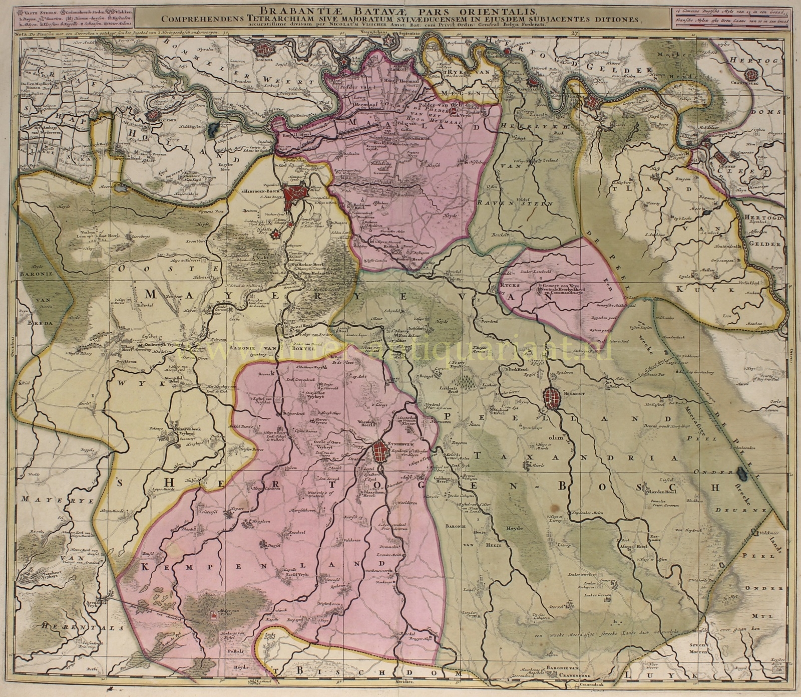
THE MEIERIJ OF ‘S-HERTOGENBOSCH
“Brabantiae Batavae pars orientalis, comprehendens tetrarchiam sive majoratum Sylvaeducensem in ejusdem subjacentes ditiones” [Eastern part of Noord-Brabant, encompassing the tetrarchy or heerlijkheid (lordship) of ‘s-Hertogenbosch with its subordinate territories]. Copper engraving published by Nicolaas Visscher around 1680. With original hand colouring. Size (plate): approx. 51 x 59 cm.
This beautiful regional map of the eastern part of the Duchy of Brabant is quite detailed. The fortified cities are clearly visible; there are several polders in the north; there’s a lot of heathland, marshes, and planted forests near castles. Agriculture is concentrated around the cities and villages.
We see the Meierij of ‘s-Hertogenbosch with its four quarters: in the north Maasland, in the east Peelland, in the south Kempenland, and in the west Oisterwijk.
After three generations with the Visscher publishing house, part of the printing plates was sold in 1726 to Petrus Schenk, who also used this map for his atlas.
Price: Euro 550,-


