Groningen – Frederick de Wit, 1685
€650
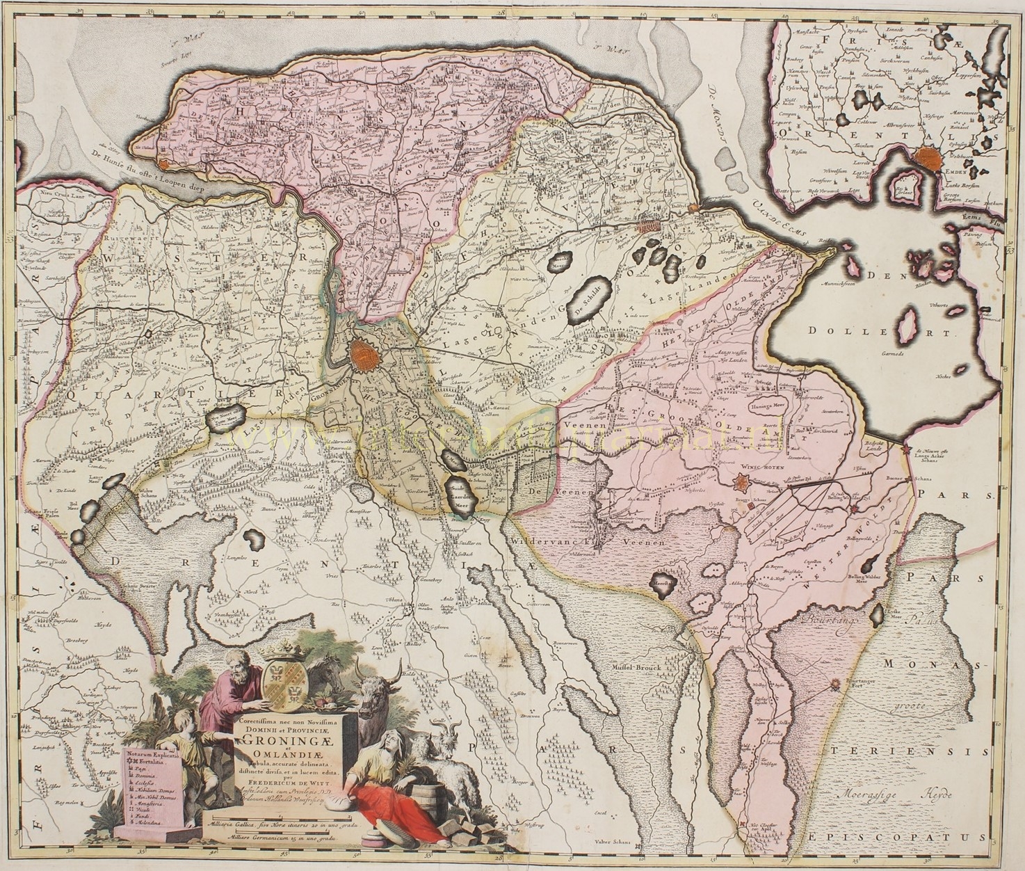
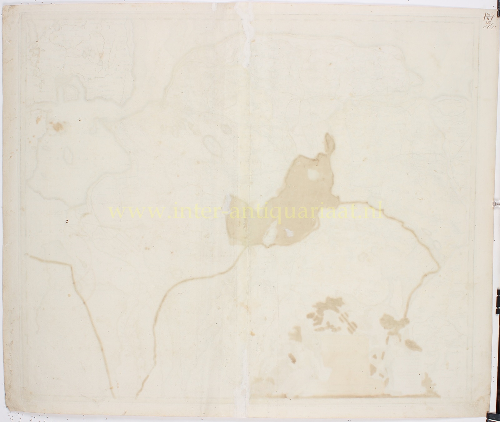
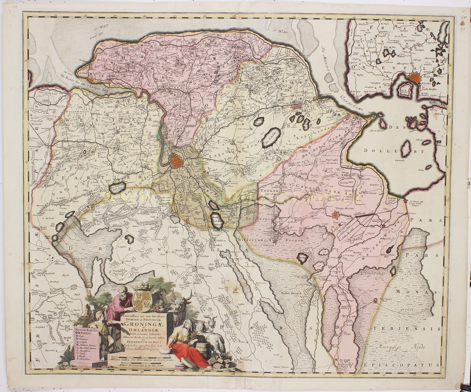
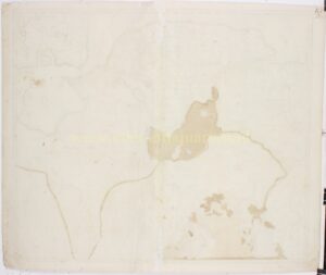
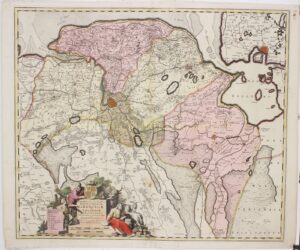
“Corectissima nec non Novissima Dominii et Provinciae Groningae et Omlandiae,” [“The Most Correct and Latest Map of the Dominion and Province of Groningen and Ommelanden”] copper engraving published by Frederick de Wit as part of his atlas “Nieuw Kaertboeck van de XVII Nederlandse Provinciën” in 1685. With original hand colouring. Size: 49 x 58 cm.
We see Groningen and its surrounding ‘Ommelanden’. Around the cartouche, there are depictions of livestock and products the province produces, such as cheese and peat. It also includes a degree scale, legend, and the provincial coat of arms.
Frederick de Wit copied this map from one that was brought to market a year earlier by his competitor Nicolaes Visscher II. Compared to earlier maps of the area, some small changes have been made. For instance, the settlements around Sappemeer are shown in greater detail, and the city of Groningen is depicted more attractively and topographically more accurately than before, surrounded by its seventeen bastions.
In the late 17th century, the city of Groningen was surrounded by imposing fortifications, which were considered among the strongest in Europe at the time. These fortifications protected the city from enemy attacks, earlier in the 17th century from the Spanish and later from the French.
Politically, Groningen and the Ommelanden were under the rule of the States of Stad en Lande, which had a certain degree of autonomy within the Dutch Republic. This region had its own government and judiciary, although it was still part of the larger Republic.
Price: Euro 650,-


