

Amstelland – Gerrit Drogenham + Daniel Stoopendaal, c. 1720
€5.850
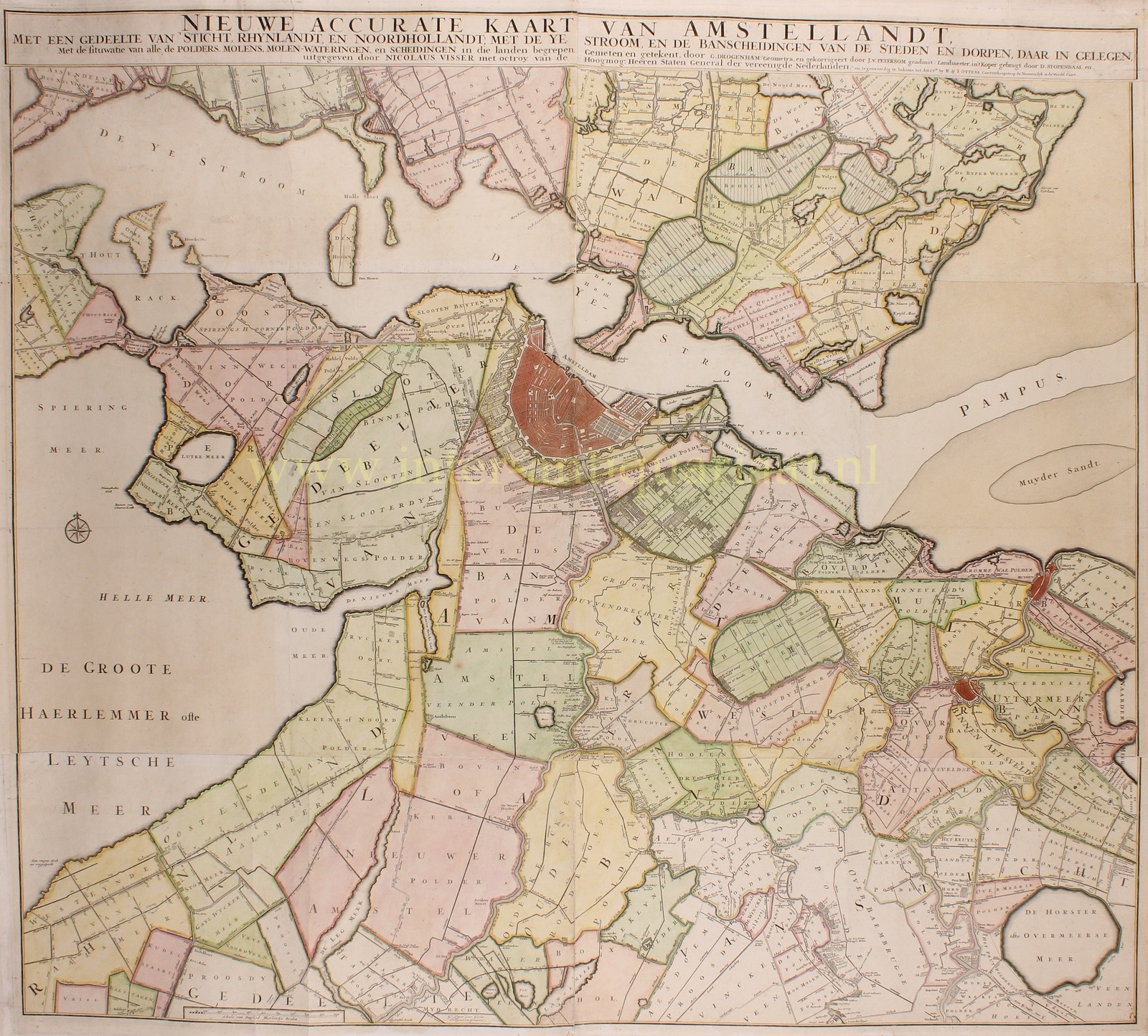
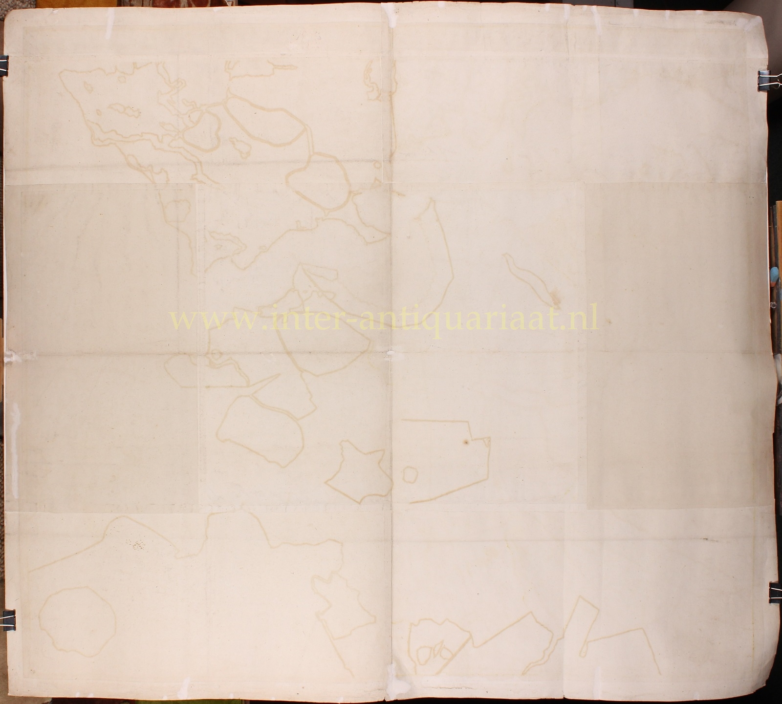
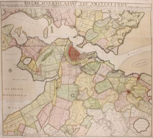
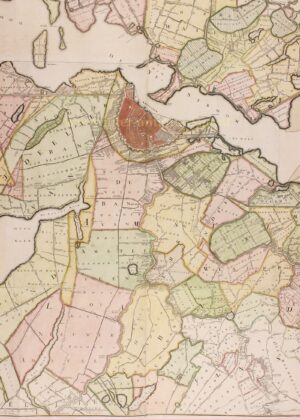
WALL MAP OF AMSTELLAND
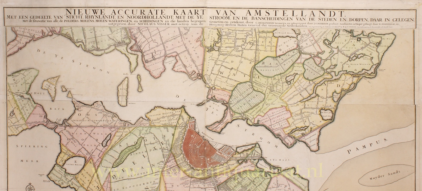
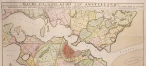
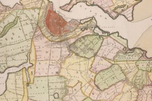
“Nieuwe accurate kaart van Amstellandt met een gedeelte van ‘t Sticht, Rhynlandt, en Noordhollandt: met de Ye stroom, en de banscheidingen van de steden en dorpen, daar in gelegen. Met de situwatie van alle de polders, molens, molen-wateringen, en scheidingen in die landen begrepen” [New accurate map of Amstelland, including part of the Sticht of Utrecht, Rhineland and North Holland, showing the IJ waterway and the jurisdictional boundaries of the towns and villages situated there, together with the locations of all polders, drainage mills, mill waterways and boundaries within these territories]. Surveyed and drawn by Gerrit Drogenham (“Geometra”), corrected by J. van Petersom (“geadmitteerd Landmeeter”, or licensed surveyor), and engraved by Daniël Stoopendaal. First published around 1702 by Nicolaas Visscher and reissued in the second quarter of the eighteenth century by Reinier and Josua Ottens. Original hand colouring, with later additions. Size (printed image): approx. 99 × 111 cm.
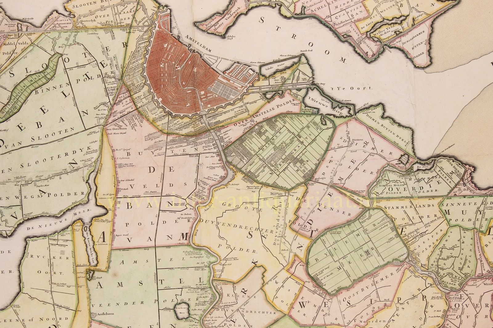
By the end of the seventeenth century, Amsterdam had developed into the centre of world trade. Much of the land surrounding the city was owned by Amsterdam residents and institutions. In the Middelpolder, for example, approximately half the land belonged to Amsterdam institutions during the seventeenth century, while the other half was owned by private citizens of Amsterdam. The situation was similar in the Groot Duivendrechterpolder: because Amsterdam residents and institutions owned land there, three of the elected overseers responsible for the drainage mills were required to come from the city. Amsterdam thus gained influence at every level over the processes that shaped the surrounding countryside: agricultural practices, the creation and management of polders, water management, infrastructure, dyke maintenance and the construction of country estates.
Farms within approximately five kilometres of the city supplied fresh milk. Proximity to the market was essential because untreated milk was highly perishable, and these farmers travelled to Amsterdam daily by horse and cart or by boat. Farmers further away, in a broad circle around the city, produced butter and cheese. Hemp cultivation was also important in these areas, as hemp fibres provided the raw material for manufacturing rope and sailcloth.
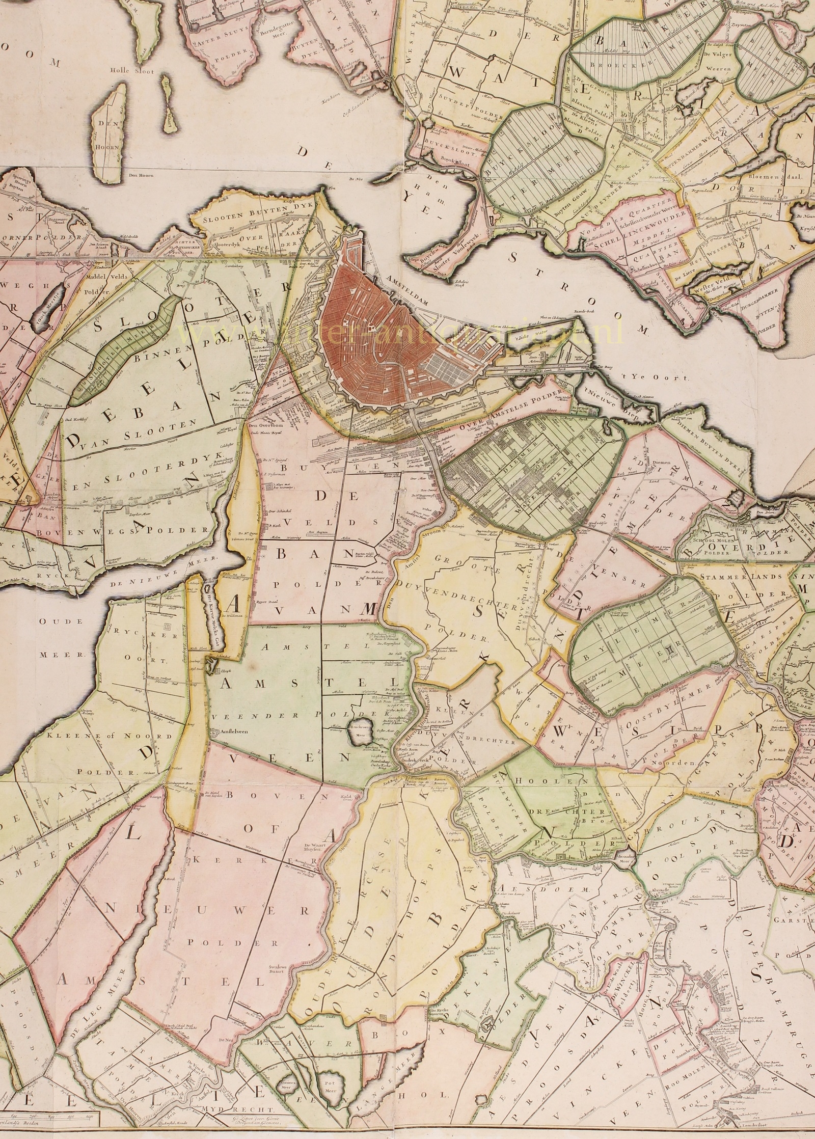
The Ronde Venen district, further south, specialised mainly in cheese production, while the area around Abcoude concentrated on butter. In an even wider circle around the city, particularly north of the IJ, cattle were grazed and fattened for slaughter.
Following the Disaster Year of 1672, population growth stagnated and economic expansion came to a halt. Agricultural prices declined, beginning with grain and soon followed by dairy products. At the same time, labour costs and polder levies increased. Agriculture reached its lowest point when, in addition to these difficulties, outbreaks of cattle plague occurred, the first lasting from 1713 to 1720.
The city’s fortifications marked its physical boundaries, but not the limits of its economic activities. Industries requiring excessive space or causing noise, pollution, unpleasant smells, smoke, or risks of fire and explosion were moved towards the outskirts or into the surrounding countryside. Industries such as ropewalks, paint manufacturers, sulphur refineries, potteries and brandy distilleries were established near the edge of the city, but still within its walls. Businesses requiring more space or generating particularly severe pollution, such as tenter grounds [where woollen cloth was stretched and dried], cotton-printing works and blubber-rendering establishments [producing oil for lamps and soap], were located outside the city.
Some farmers also worked closely with linen-bleaching establishments. The bleachers used large quantities of buttermilk, and sometimes whey, in the bleaching and treatment of linen fabrics and yarn. Buttermilk was a by-product of butter production, while whey was left over from cheesemaking.
Overland, the Overtoom and Amstelveenseweg formed the route towards Leiden and The Hague, making them relatively busy thoroughfares. These roads stood out in the landscape because of the trees lining them. Large trees did not grow naturally in the peatlands, but the roads were built on raised ground, where more or less continuous rows of trees could grow. Until the eighteenth century, there were no paved roads in Amstelland.
Nevertheless, until the early twentieth century, most transport took place by water. The River Amstel was the principal transport artery through Amstelland. Regular boat services connected the villages with urban markets and linked towns and villages to one another. From the seventeenth century onwards, the trekschuit, a horse-drawn passenger barge accommodating approximately 25 passengers, became an important means of transport. A network of regular passenger services developed between the principal towns and cities of the Dutch Republic.
The map depicts the situation around 1720. By this time, many of Holland’s lakes had already been drained and reclaimed as polders. The Haarlemmermeer, Legmeer, Langemeer and Horstermeer, all still shown as lakes on this map, would not be drained until the nineteenth century.
Compared with the first edition published by Nicolaas Visscher, the map was slightly revised for the edition issued by the Ottens firm. Several names of residents of country estates along the rivers Amstel, Angstel, Bullewijk, Holendrecht and Vecht were added or altered. Another difference concerns the village of Loendersloot: in the first edition, its name appears on the left bank of the river, whereas in the second edition it was moved to the right bank.
Price: Euro 5.850,-
