

Holland – Henricus Nagel + Johann Bussemacher, 1592
€450

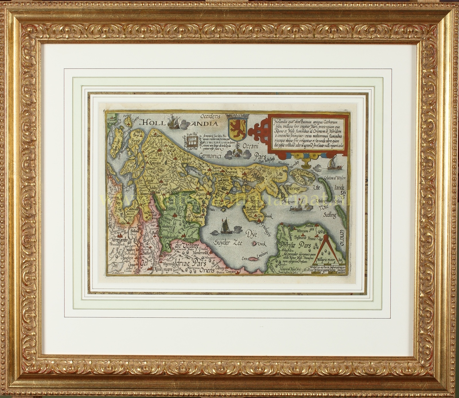


“Hollandia quae olim Batavia …” [Holland, which was once Batavia.] Copper engraving made in 1592 by Henricus Nagel and published by Johann Bussemacher as part of “Europae Totius Orbis Terrarum” by Matthias Quad. Coloured by a later hand. Size (print): 19 × 27 cm (frame: 43.5 × 50 cm).
The map is a reduced copy of Gerard de Jode’s atlas map of 1578.
The cartouche in the upper right corner describes the region: “Holland, which was once Batavia, the ancient dwelling place of the Chatti, is almost entirely surrounded by the sea, except on the east and south sides, where the rivers Rhine and Meuse separate it from the mainland. The interior is everywhere irrigated by rivers and streams and is so fertile that in the richness of its fields it yields to no other land.”
In his atlas of Europe, Matthias Quad (1557–1613) goes even further. He portrays Holland as a densely populated, prosperous, learned, and enterprising province — rich in fertile soil, industrious citizens, renowned artists, and above all: in mercantile spirit and maritime power, by which it distinguishes itself from all other countries of Europe.
Price: Euro 450,- (incl. frame)