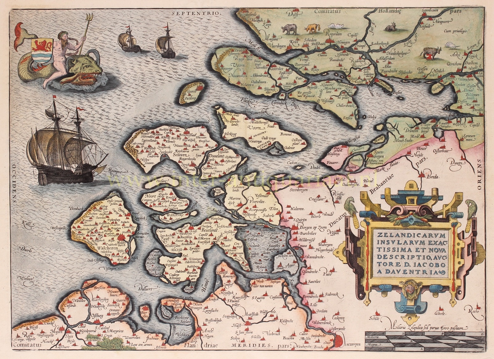
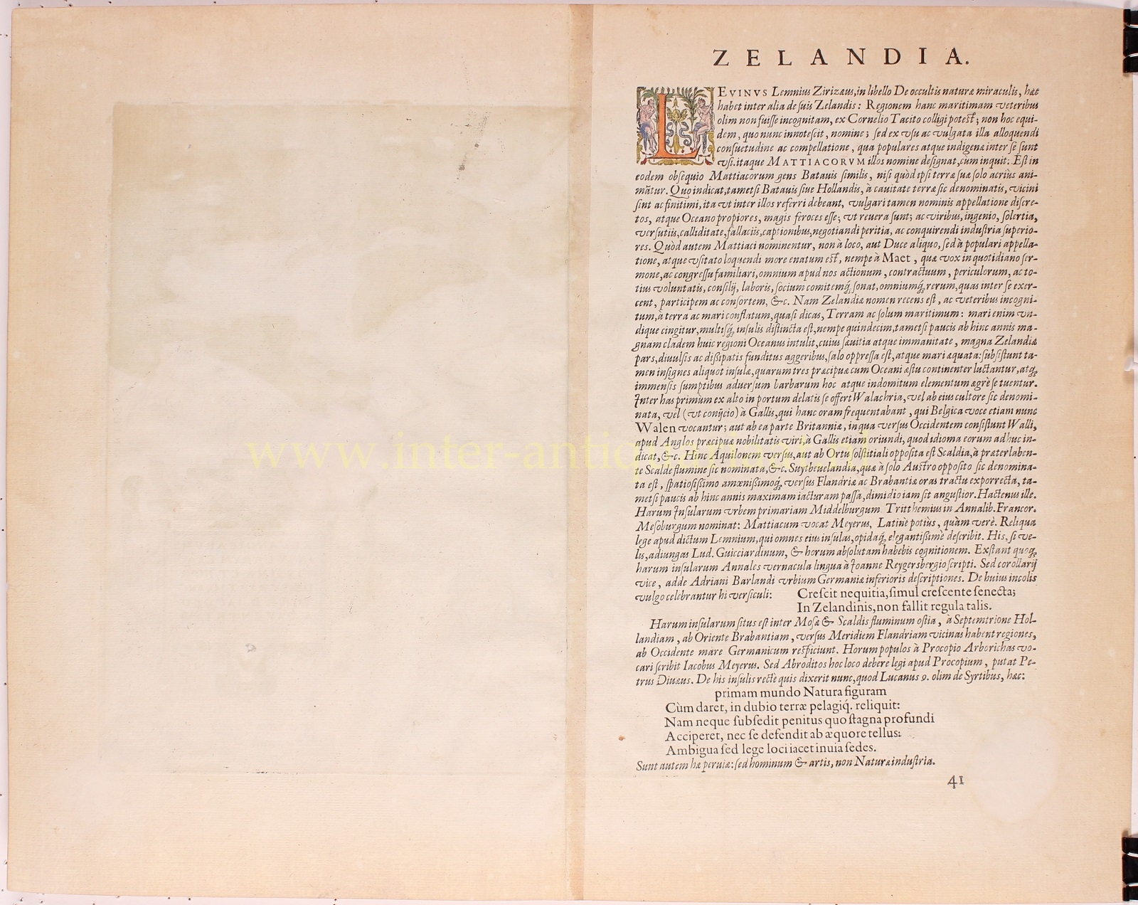
“Zelandicarum Insularum exactissima et nova descriptio.” (The Zeeland Islands, precisely and newly depicted.) Copper engraving based on the design by Jacob van Deventer, published in 1592 by Abraham Ortelius in Antwerp. Verso: Latin text. With beautiful original hand-colouring. Size: 35.5 x 46.5 cm.
In Ortelius’s time, atlases were not produced in the way we know today. Loose maps were mainly created for sailors and for custom-made atlases. These usually consisted of maps that varied in scale and format.
Ortelius likely received a suggestion from cartographer Gerard Mercator to collect and spread geographical knowledge and maps of the entire world from various sources to a broad audience. This gave rise to the idea of the “modern” atlas: a collection of maps of the same size and scale, bound in a book, which were specially re-engraved in copper for publication. The book was brought to market in multiple copies, which was also a novel concept.
For the first edition, Ortelius gathered the best available material. He redrew all 53 maps himself in a standard format, adding descriptions of countries and places. Finally, he included a source citation for the original map, which was quite unusual in the 16th century. While mapmakers used copperplates from their predecessors, they rarely credited the source.
Once the maps were drawn, Ortelius had them engraved onto copper plates by Frans Hogenberg and his assistants Ambrosius and Ferdinand Aertsen. Gillis Coppens van Diest handled the printing. The atlas was named “Theatrum Orbis Terrarum“, or Theater of the World. The first edition appeared in Latin in 1570.
In 1571, the first Dutch edition appeared. Interestingly, the texts were not directly translated from Latin but were specially written for a non-scholarly audience. For example, Ortelius wrote that The Hague was the best village in Europe and that its inhabitants didn’t want walls, preferring to live in the best village rather than in a city like so many others.
Ortelius’s atlas was a great success, with the first edition selling out quickly. Although an atlas – especially with coloured maps – was a considerable investment, there were enough wealthy citizens eager to expand their knowledge of the world. Ortelius decided to create new editions with more maps. Translations appeared in German, French, Spanish, and later in English and Italian. These later editions were produced from 1579 onwards by the famous Antwerp printer Christoffel Plantijn.
For the Northern Netherlands, Ortelius had access to the excellent maps of Jacob van Deventer, including this map of Zeeland, based on Van Deventer’s 1545 map (reprinted in 1560). This was before the Eighty Years’ War began. The Dutch Republic did not yet exist, and Zeeland was still Catholic. Middelburg fell to William of Orange in 1574. Many monks left Zeeland, but many Flemings also moved to the area, partly due to the Fall of Antwerp in 1585.
The map of Zeeland was included in the first edition of the Theatrum in 1570 and remained until the last official edition in 1612. During this period, changes were made eight times, six to the map itself and twice only to decorative elements.
The large ship depicted off the coast was modeled after an engraving by Frans Huys, which was based on drawings by Pieter Brueghel the Elder.
Price: SOLD


