

North America, East Coast, Virginia, Florida – Blaeu, c. 1640
€1.250

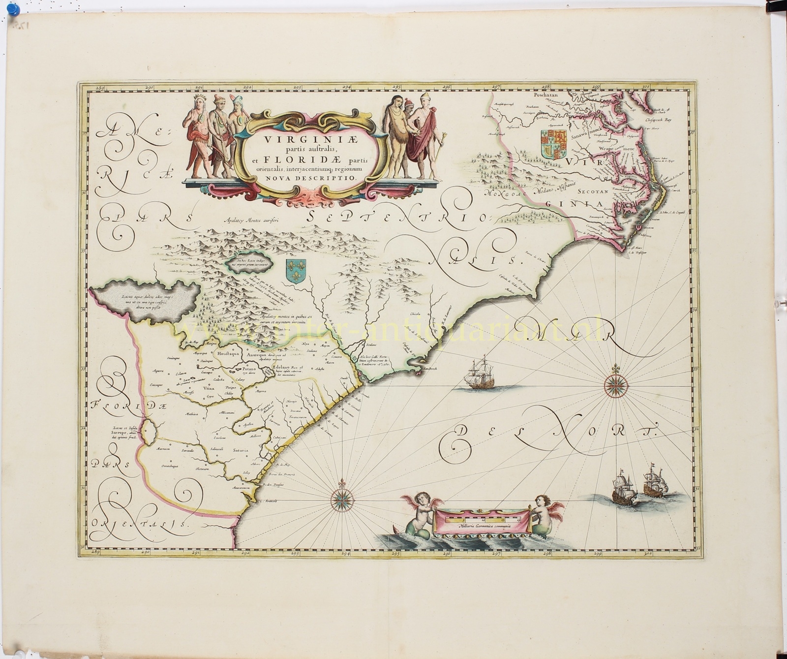


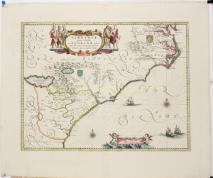
“Virginiae Partis australis et Floridae partis Orientalis, interjacentiumque regionum nova descriptio” [A new description of the southern part of Virginia and the eastern part of Florida, and of the regions lying in between.] Copper engraving published by the house of Blaeu in Amsterdam approx. 1640.Original hand colouring. Size: 38,9 x 50,8 cm.
THe map depicts the southeastern coast of North America, from present-day Virginia in the north to Florida in the south, including the lands in between. The geography is based on earlier cartographic sources, notably the influential work of Hondius and Hessel Gerritsz, yet enhanced with information gathered during the various explorations of the area and Blaeu’s hallmark elegance of engraving and ornamentation.
The coastline is carefully delineated, with settlements, rivers, and mountain ranges stretching inland. Decorative sailing ships and a compass rose animate the surrounding seas. The cartouche at the top, flanked by Native American figures, highlights the title of the map. At the lower right, two putti hold a scale of miles.
Of particular interest are the coats of arms: the royal arms of England are placed over the Virginia region, while the fleur-de-lis of France asserts dominion over the interior and parts of the southeast. These heraldic emblems reflect the competing colonial claims in the early 17th century, when England, France, and Spain all vied for power along the American coast.
Blaeu’s map is thus not only a geographic document, but also a political statement of territorial ambitions in the New World. It is important because of its new reliable depiction of the cost line and the many new geographical names.
Price: Euro 1.250,-