

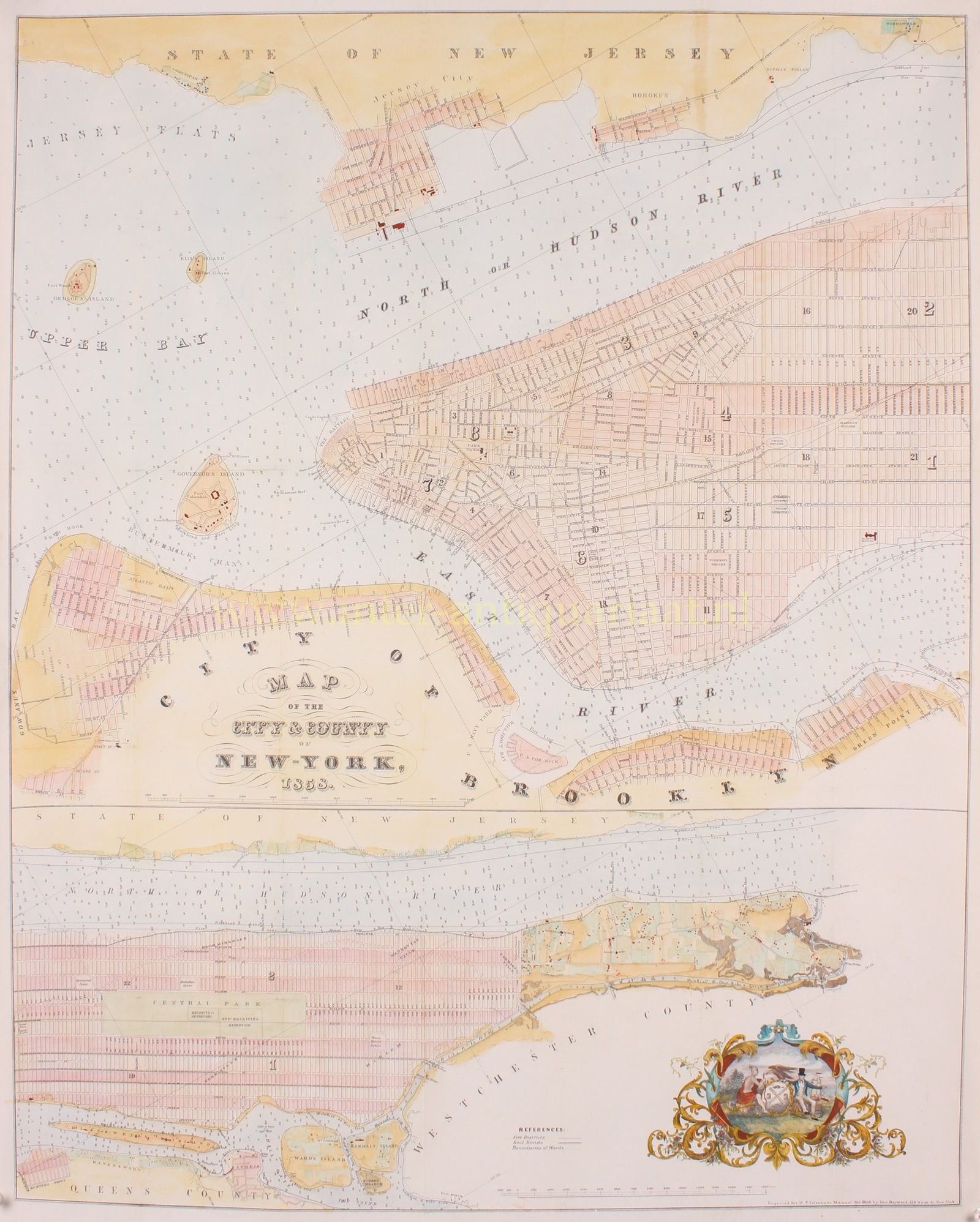
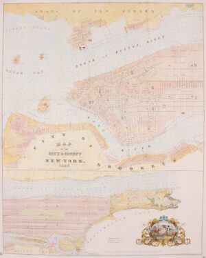

“Map of the City & County of New-York 1858.” Lithograph by George Hayward made in 1858 for David Thomas Valentine’s “Manual of the Corporation of the City of New York”. Coloured by a later hand. Size: 71,2 x 57 cm.
Mid-19th century New York City was already a bustling metropolis. The city was experiencing rapid population growth, with immigrants arriving from various parts of Europe. The population in 1850 was around 515,000, and it continued to increase throughout the decade.
The street grid system that we see in Manhattan today was largely in place by 1858. However, much of the city was still in the process of being developed, and the landscape was a mix of residential areas, commercial districts, and open spaces.
Even in the mid-19th century, New York City was a major economic hub. The shipping industry, finance, and trade were vital components of the city’s economy. The Erie Canal, completed in 1825, had connected New York City to the Great Lakes, enhancing its importance in trade.
In 1858, the construction of Central Park was underway. The park was designed to provide a recreational space for the city’s residents and act as a respite from the urban environment. The park’s completion in the following decades would significantly impact the city’s green space.
Horse-drawn carriages and omnibuses were the primary modes of public transportation. The first elevated railway in the world, the West Side and Yonkers Patent Railway, was about to open in 1868.
On this map New York City is divided into two sections. The primary map, above, details Manhattan from 38th street to the Battery, including parts of Brooklyn, Governors Island, Ellis Island, Bedloe Island (Statue of Liberty), Jersey City, and Hoboken. The lower map focuses on upper Manhattan north of 38th street and includes Roosevelt Island, Randalls and Wards Islands, and parts of Queens. Both maps show the street grid in some detail noting all major streets and some important buildings. A stylized seal of New York City appears in the lower left quadrant.
David Thomas Valentine (1801-1869) was a clerk within New York City’s common council for over thirty years and is regarded as the city’s primary historian of the time. Between 1841 to 1870 Valentine published annually, a statistical and historical reference book he called the “Manual of the Corporation of The City of New York”. Valentine’s Manual, as it came to be called, included facts about the City of New York, city council information, city history, and reported on the progress of public works such as Central Park.
Price: Euro 950,-