

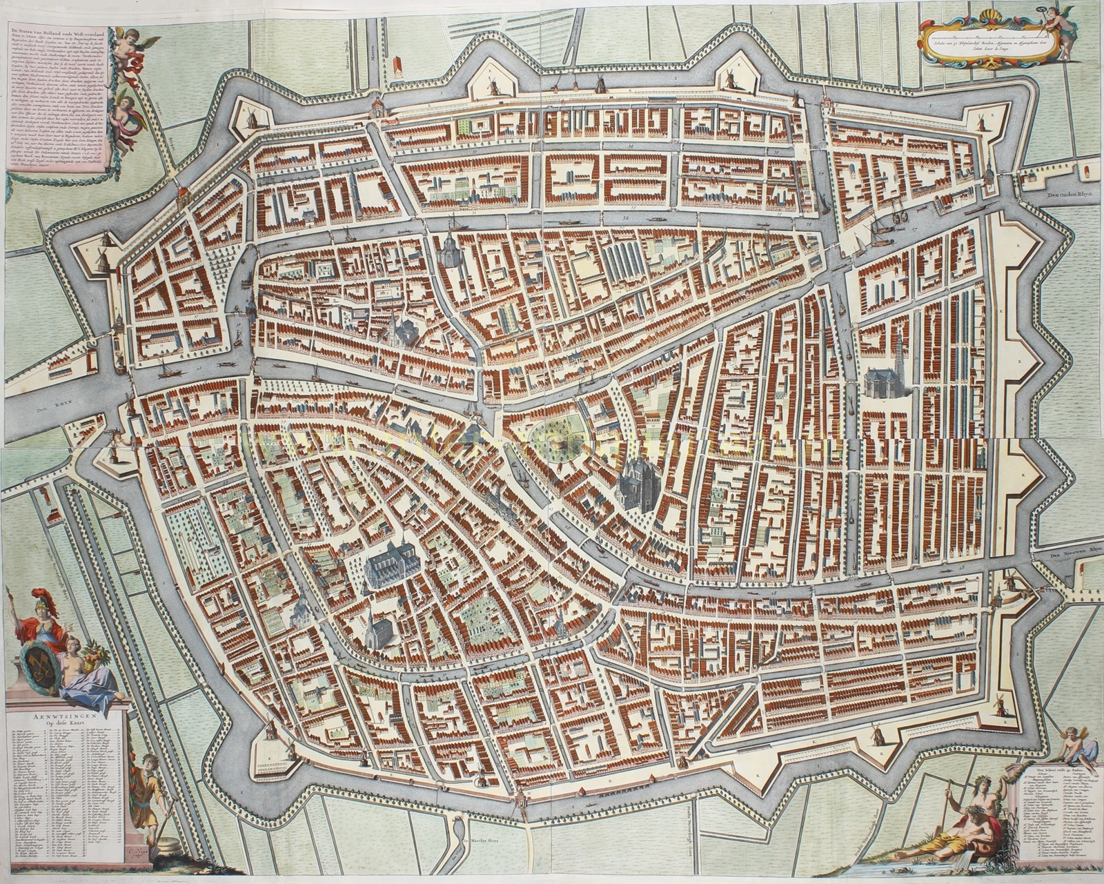
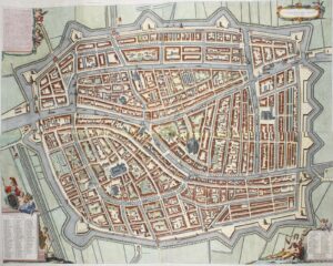
WALL MAP OF LEIDEN, PLAN OF THE SO-CALLED ‘GROTE HAGEN’
Copper engraving on 4 mounted sheets, engraved and published in 1670 by Christian Hagen after the surveying work of Johannes Dou (1642-1690). Coloured by a later hand. Size: approx. 95 x 121 cm.
At the end of the 16th and in the first half of the 17th century, more and more houses were built in the medieval part of town. Due to overpopulation, shifts in the social composition of the population and changes in the function of houses and canals, gardens and courtyards were crammed with so-called poorten [gated courtyards with houses around it]. Those houses were meant for workers and were very small and often of poor quality. In order to create more space, the city expanded considerably in the first half of the 17th century. (In part, this was done by filling small plots next to the boundary of the old city.) With these expansions, the city administration tried to regulate building, with varying degrees of success. The regulations were composed of a mixture of urban, social, environmental and health criteria. The new neighbourhoods were mainly built for the large numbers of workers and small artisans. The city tried to stimulate the construction of more distinguished buildings by constructing wide, prominent canals such as the Oude Vest, but simpler and uniform small and medium-sized houses dominated the streets.
After the completion of the city expansions, in 1667, a new large map of Leiden was commissioned. At that time, the city had approximately 65,000 inhabitants. After the expansion of the city in 1660, there was a need for a new, larger, and more accurate map than ever before, both to accurately record land ownership and to demonstrate the grandeur of the city.
This map, the plan of the famous ‘Grote Hagen‘ [Large Hagen], was supposed to be printed by Joan Blaeu, who outsourced the engraving work to Christian Hagen (ca. 1635-1688). Blaeu initially handled much of the work that needed to be done for the map, but because of the large fire that devastated his publishing house in Amsterdam, Christian Hagen took on more and more responsibilities, as well as the credit and fame for this magnificent piece of work.
On the map cartouches embellished with allegorical figures list the names of streets and buildings and the bailiff with 40 city council members. (After all, they paid to have this map made.)
Price: SOLD