MUIDEN, FORTIFIED TOWN ON THE DUTCH WATER LINE
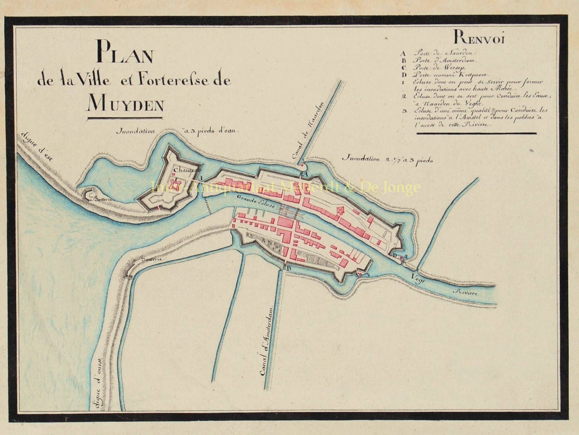
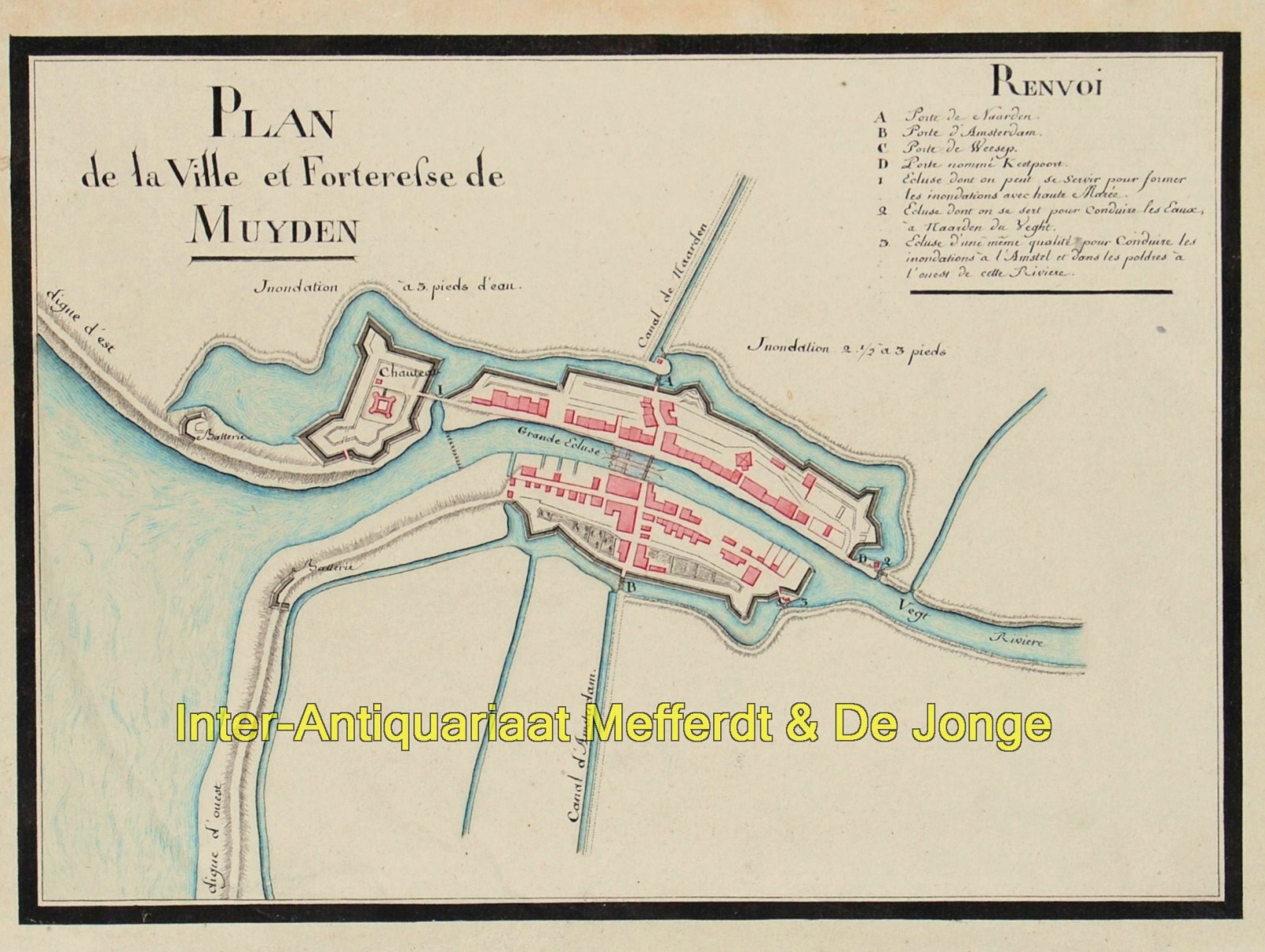
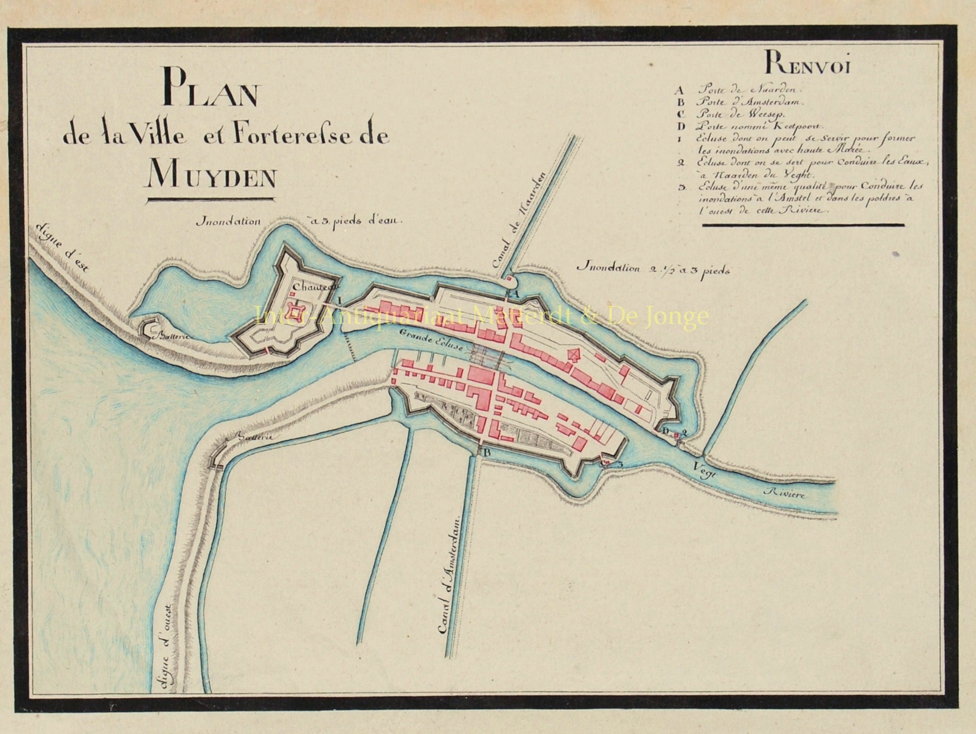
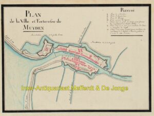
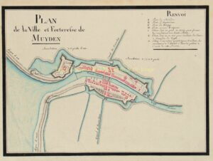
“Plan de la Ville et Forteresse de Muyden“. Drawing in pen and watercolour, made around 1800. Size 20 x 27 cm.
In as early as the 16th century, the idea arose to defend large parts of Holland simultaneously, instead of protecting each fortress/town individually, which was typical until then.
Intentional flooding (inundating) large areas of land is intended to impede the movement of the enemy.
In 1629, Prince Frederick Henry started the execution of the DUtch Waterline. Sluices were constructed in dikes and forts and fortified towns were created at strategic points along the line with guns covering especially the dikes that traversed the water line. The water level in the flooded areas was carefully maintained at a level deep enough to make an advance on foot precarious and shallow enough to rule out effective use of boats (other than the flat bottomed gun barges used by the Dutch defenders). Under the water level additional obstacles like ditches and trous de loup were hidden. The trees lining the dikes that formed the only roads through the line could be turned into abatis in time of war. In wintertime the water level could be manipulated to weaken ice covering, while the ice itself could be used when broken up to form further obstacles that would expose advancing troops to fire from the defenders for longer.
The Dutch Water Line proved its value less than forty years after its construction during the Franco-Dutch War (or Third Anglo-Dutch War) (1672), when it stopped the armies of Louis XIV from conquering Holland, although the freezing over of the line came close to rendering it useless.
In 1794 and 1795, the revolutionary French armies overcame the obstacle posed by the Dutch Water Line only by the heavy frost that had frozen the flooded areas solid. It was in those days that this plan of town of Muiden was made.
Price: Euro 950, – (incl. frame)


