

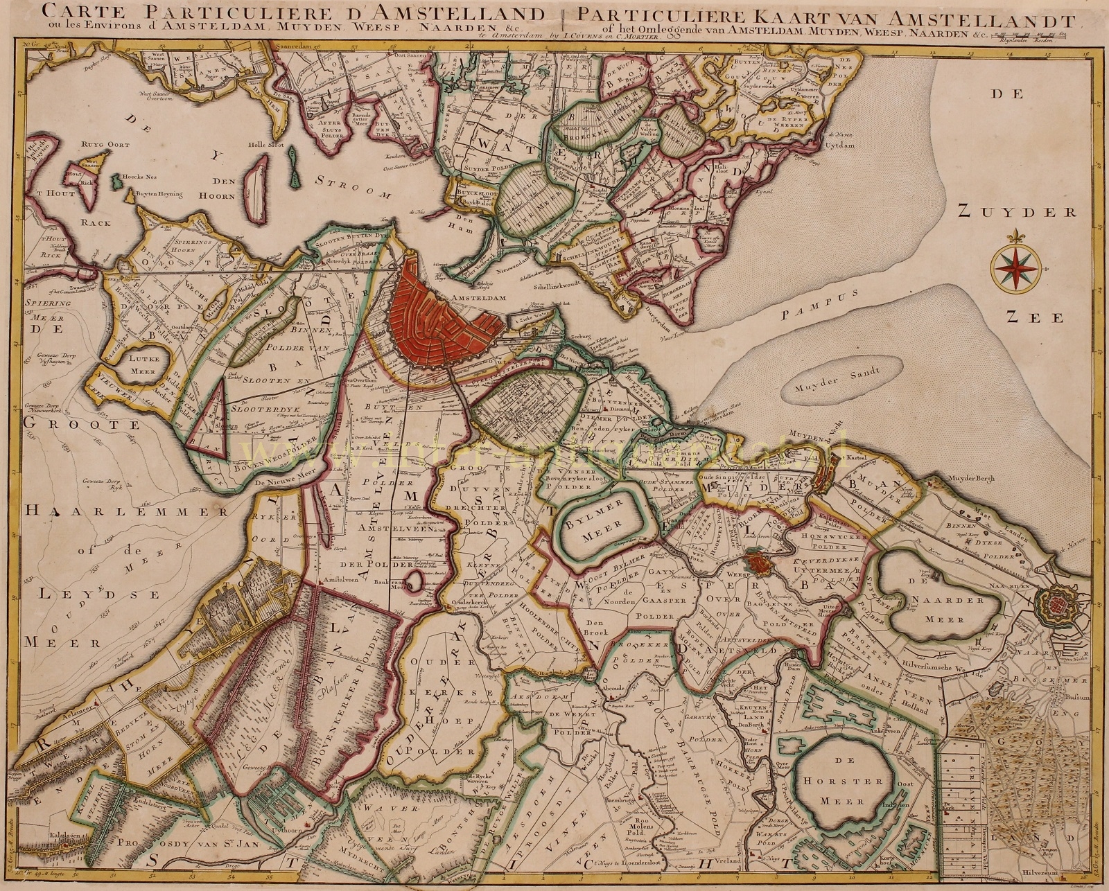
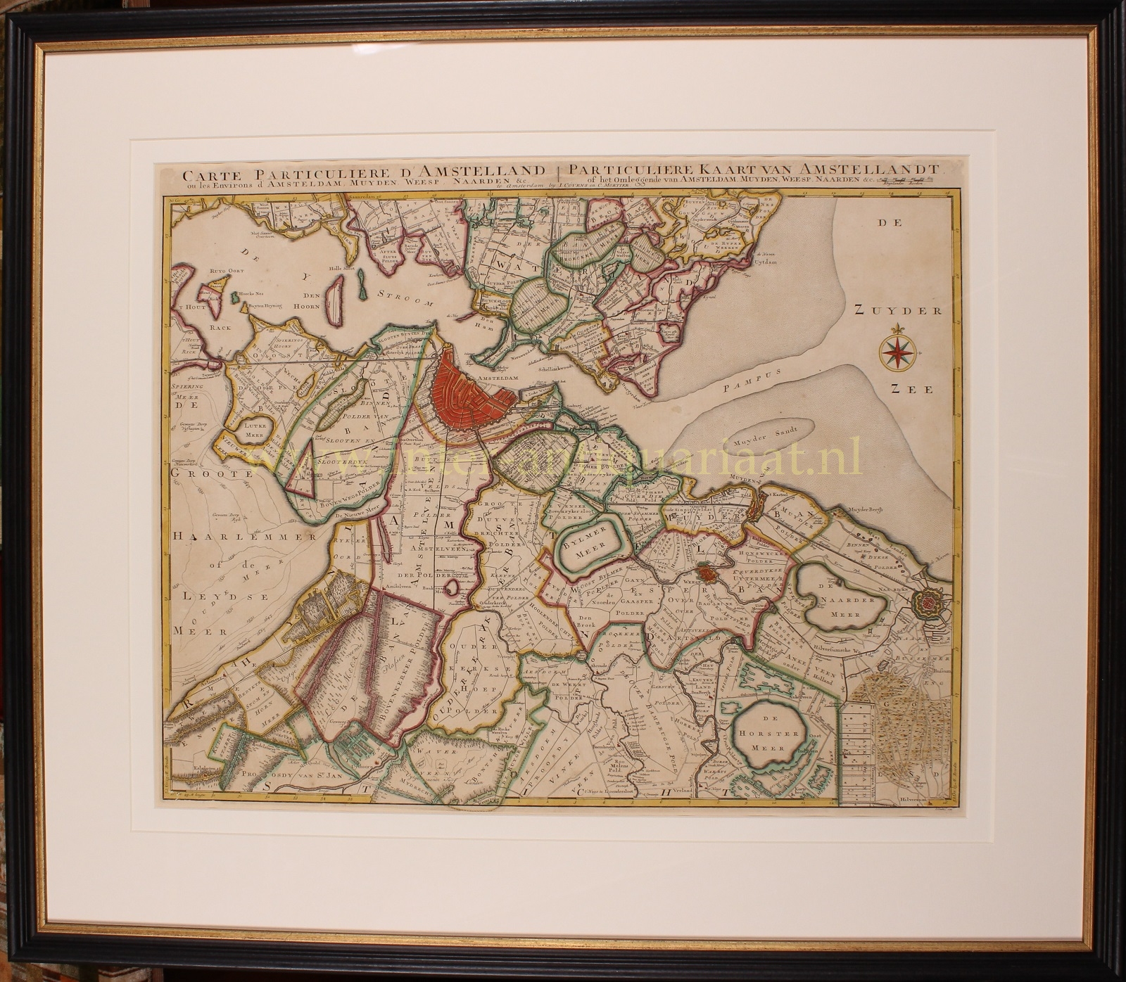
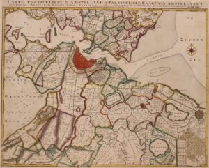
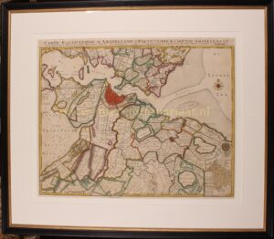
“Carte Particuliere d’Amstelland ou les Environs d’Amsterdam, Muyden, Weesp, Naarden &c. / PARTICULIERE KAART VAN AMSTELLANDT of het omleggende van Amsterdam, Muyden, Weesp, Naarden &c. [special map of the Amstelland area, or the surroundings of Amsterdam, Muiden, Weesp, Naarden, etc.)” Copper engraving published in 1749 by Johannes Covens and Cornelis Mortier in Amsterdam. Coloured by a later hand. Size: 52 x 64,5 cm.
This map shows the area south of Amsterdam where peat extraction has been taking place since about 1530. The increasing population and shrinking forest area had created a growing demand for peat as fuel. Entire villages perished from starvation for fuel. (See the “Geweeze Dorp Tamen -former village Tamen- north of Uithoorn.) The peat was dredged from below the water level and dried and processed on the narrow so called legakkers. The puddles created by peat (indicated on the map by with a frayed edge) are clearly visible at the bottom left of the map. Bijlmermeer, Naardermeer, Horstermeer and Haarlemmermeer (with smooth banks) on the other hand, were originally natural lakes in the peat area. Of all these ponds and lakes, only the Naardermeer is still a wetland.
Literature:
- Donkersloot-De Vrij “De Vechtstreek” (1985), pp 110-111
- Heinemeijer/Wagenaar “Amsterdam in kaarten” (1987), pp 98-101.
Price: Euro 1.950,- (incl. frame)