

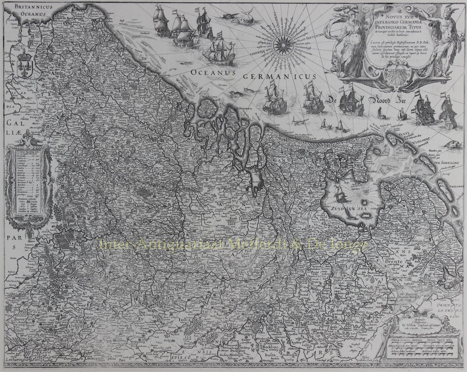
FAMOUS MAP OF THE SEVENTEEN PROVINCES IN A RARE SECOND STATE
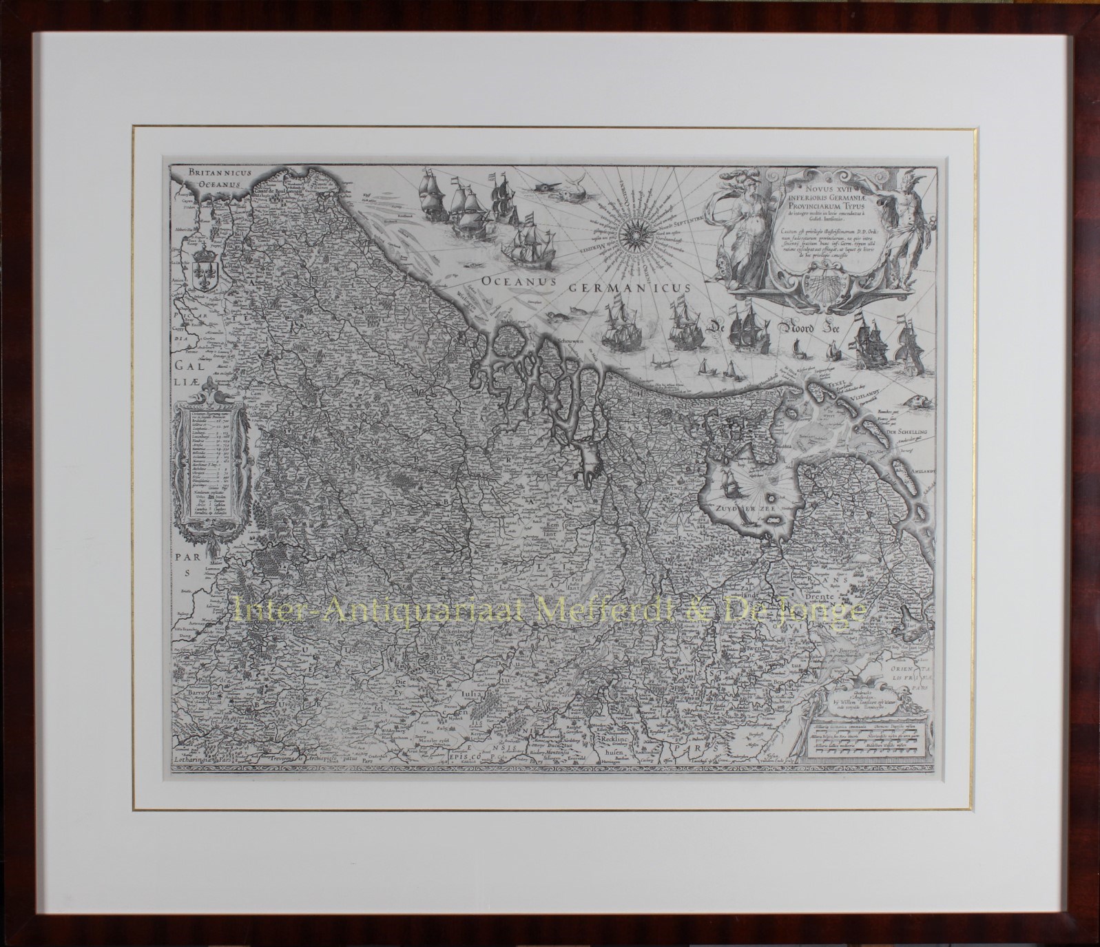
“Novus XVII Inferioris Germaniæ Provinciarvm Typvs de integro multis in locis emendatus à Guliel. Blaeu.” Copper enrgaving made by Josua vanden Ende, here in its rare 2nd state (the first without town views) published by Willem Bleau in 1630 as part of the “Atlas Appendix”. Verso: blank. Size: approx. 39,8 x 50,1 cm.
The bottom right shows a cartouche with scale bar and the address of Willem Blaeu: “op ‘t Water in de Vergulde Zonnewyzer” [current day Damrak in Amsterdam]. On the left a cartouche a list of towns and villages per province and a legend of the symbols used. In the North Sea we see a 32-piece compass rose, a sea monster and many ships.
The Fall of Antwerp in 1585 caused a de facto separation between the Northern and Southern Netherlands and the seventeen provinces split into two parts. A border arose whereby the Seventeen Provinces were split into the Republic of the Seven United Netherlands and the Southern Netherlands.
Because of emigration and a change in the political situation, the economic center of The Netherlands shifted to the north. The Dutch Revolt against the Spaniards continued and meanwhile religion divided the entire continent into two parts. All of Europe was now at war, and conflicts were not resolved until the Peace of Münster in 1648. In the treaty Dutch Republic was recognized by Spain as sovereign state. At that time, the separation of the northern and southern Netherlands was a fact.
Nevertheless, maps of the Seventeen Provinces regularly occur up to about 1800. This was partly beacause of the enormous costs for the fieldwork and engraving that came with the production of new maps, but was also due to the unclear borders of the area in the east and south of the Dutch Republic.
Reference: H.A.M. van der Heijden “Oude kaarten der Nederlanden, 1548-1794″, map 64.2
Price: Euro 2.350,- (incl. frame)