

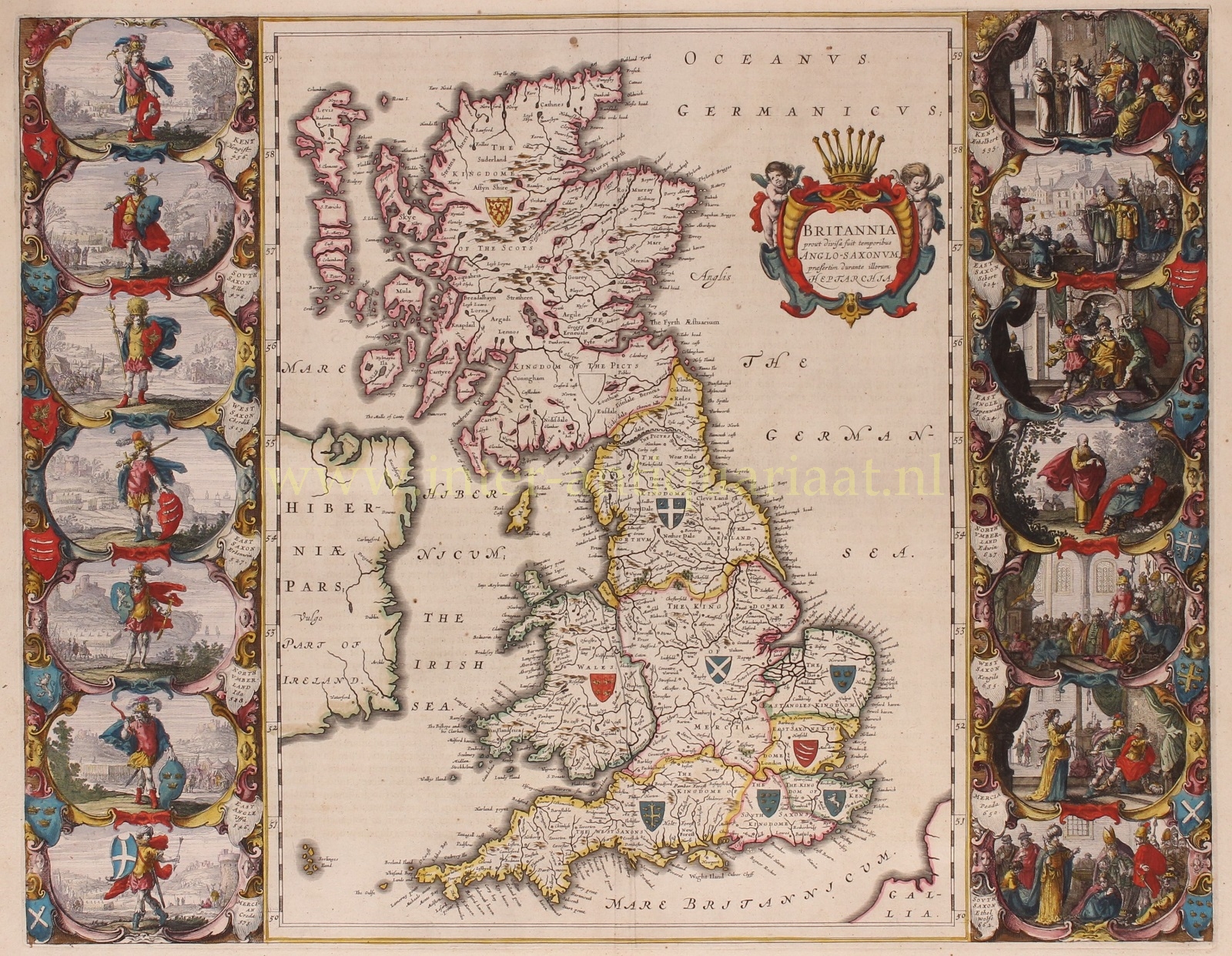

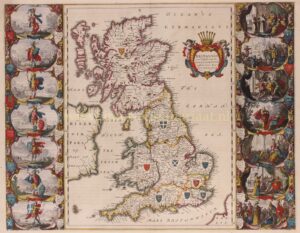
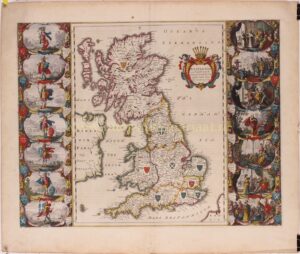
BLAEU’S HEPTARCHY MAP
“Britannia prout divisa fuit temporibus Anglo-Saxonum praesertim durante illorum Heptarchia.” Copper engraving published by Willem Blaeu in Amsterdam c. 1645. Verso text in Latin. With original hand colouring. Size: 41,2 x 52,6 cm.
Wonderful map of Anglo-Saxon England flanked by intricately rendered portraits of the kings of the 5th through 7th centuries. The monarchs to the left are those of the pre-Christian era, while those on the right are depicted receiving Christianity or being martyred for its sake. Sebert of Essex can be seen in the second panel down on the right re-consecrating the temples of Apollo and Diane; they would become St. Paul’s Cathedral in London, and St. Peter’s at Westminster.
This is often called the Heptarchy Map, as it presents England during the time following the Anglo Saxon conquest of southern England, approximately from 500 to 850 A.D., which is known as the Heptarchy Period. (The word itself refers to the seven kingdoms that would eventually combine to form the Kingdom of England in the 10th century.)
The map shows England divided into the seven Saxon kingdoms, each decorated with its coat-of-arms. Scotland, Wales, and part of Ireland are also shown with their arms. The kings are shown with their escutcheons and their forces (townships) named.
The vignettes flanking the two sides are identical in subject matter to those used in 1626 on a map by John Speed, but the execution of each is in the style of “an unmistakeable Dutch miniature”.
Price: Euro 1.650,-