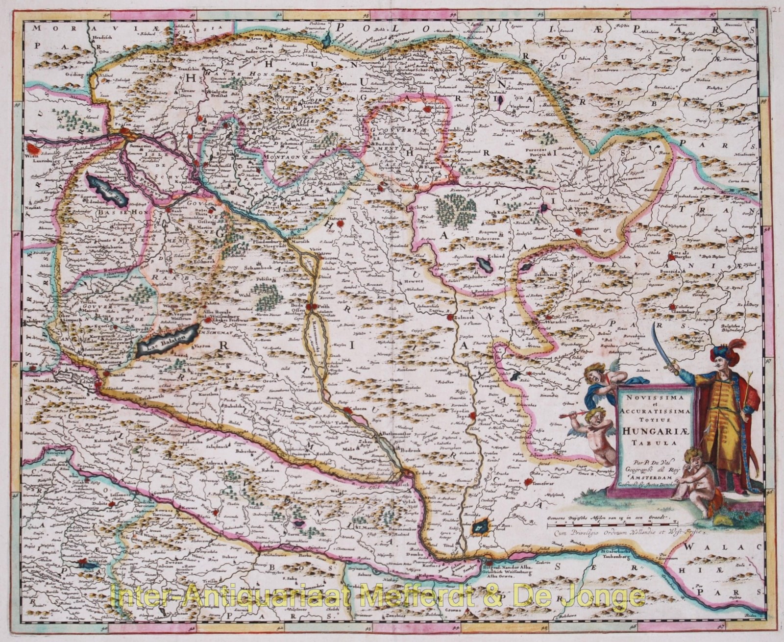
Hungary – Justus Danckerts, 1684
€625
“Novissima et accuratissima totius Hungariae tabula” [newest and most accurate map of all of Hungary]
Nice map of Hungary after the work of Pierre Duval [1618-1683]. Duval was born in Abbeville (France) and moved to Paris along with other Academics and intellectuals at the urging of the French King. Here he eventually became Geographe Ordinaire du Roy. In that position he produced a large number magnificant maps.
The map shows Hungary, Transylvania and Slavonia with bordering countries, as well as the course of the Danube between Vienna and ‘Bodon’. At the bottom a decorative Cartouche with an Ottoman with drawn sword. (Is he theatening Christian angels?)
Published by Justus Danckerts 1684. Original hand colouring. Size: 39,6 x 48,2 cm.
Price: Euro 625,-


