

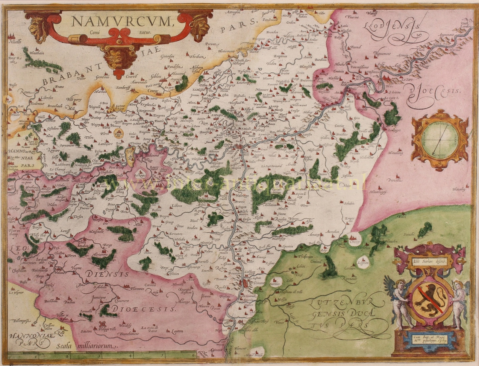
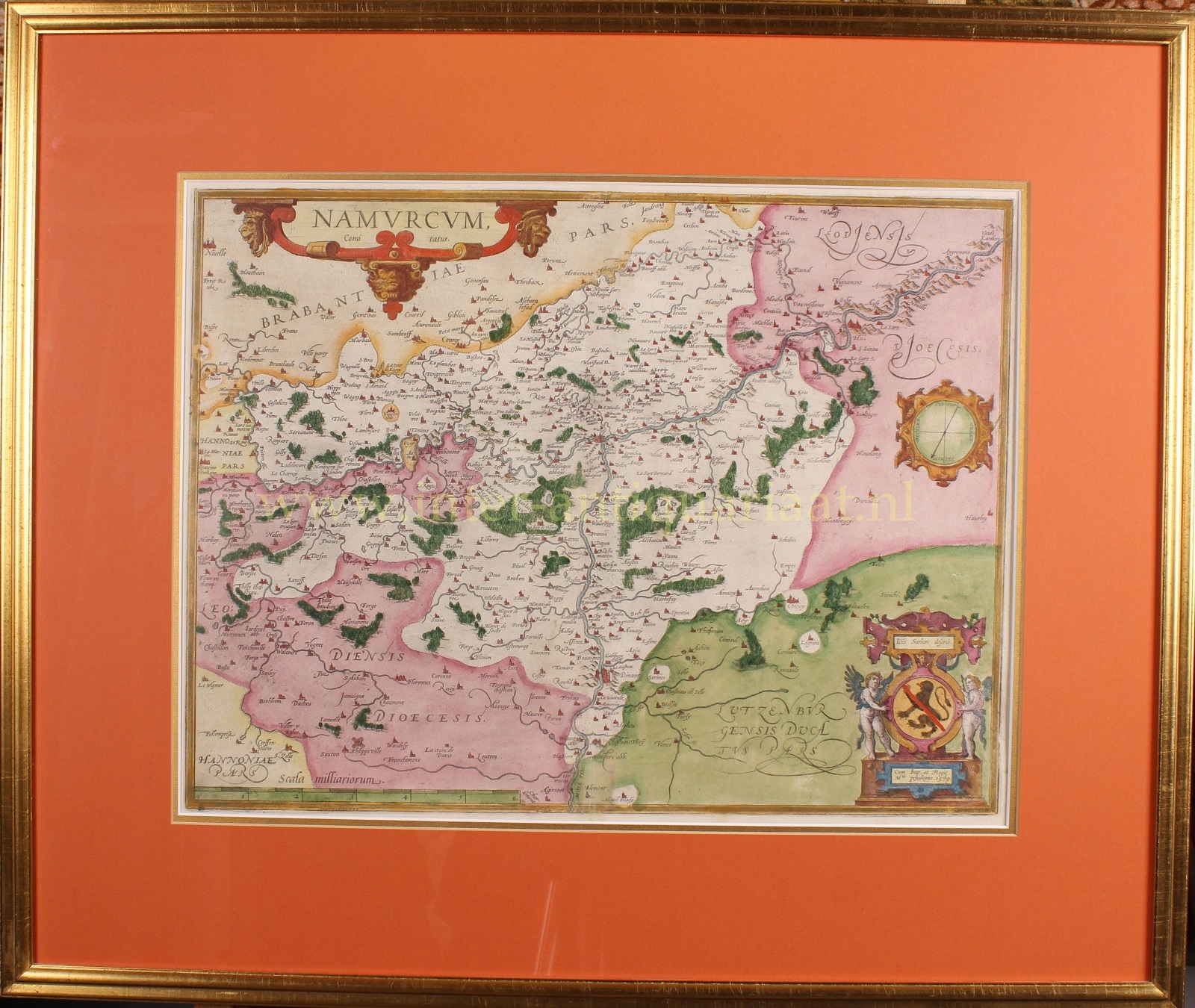
“Namurcum Comitatus“, copper engraving made by Theodoor Galle after the design of Jacques Surhon, published by Abraham Ortelius 1576-1612. With original hand colouring. Size: 39 x 51.2 cm.
This handsome map with Namur at its centre is richly decorated with forests, towns and mountains. The map is based on a 1555 manuscript map of Luxembourg by Jean (aka: Jacques) Surhon, which was withheld for security reasons. When Antwerp gained independence for a short time in 1579, Ortelius was able to use the manuscript to make the copper plate for his map.
During the Spanish period (16th and 17th century), Namur received a bishopric’s seat. The Spanish king Philip II wanted to turn Namur into a catholic bastion as a bulwark against the rise of Calvinism. Thus, Philip II required several religious orders to establish themselves in Namur. In consequence, the city gained a specific catholic character. Philip II also managed to make considerable reïnforcements to the Citadel of Namur.
Apart from growing grapes in the river valleys, the county produced flax, which formed the basis of the cloth industry. Clay was also the raw material for ceramics production and for making moulds for the so-called dinanderie (brass art objects such as lecterns, candlesticks, tableware and the like).
Moreover, the metal industry was very important: in the 16th century, the Meuse basin (Dinant, Bouvignes, Namur, but also Huy and Liège) was the main centre of metallurgy in the Southern Netherlands. Coinciding with metallurgy, coal production also became increasingly important. Namur also was famous for mining. An important export product was black marble. Along the banks of the Meuse, limestone was mined and exported.
Price: Euro 575,-