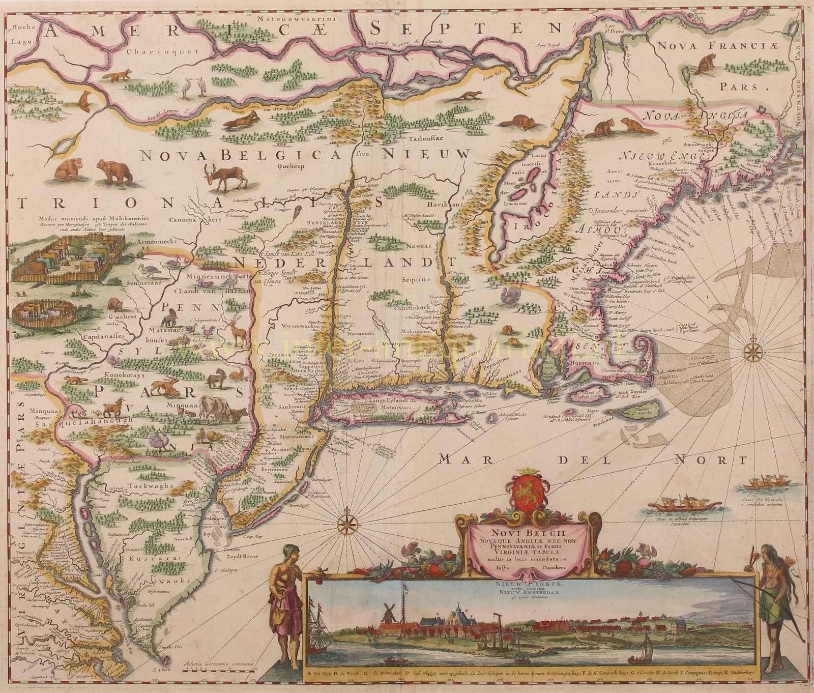
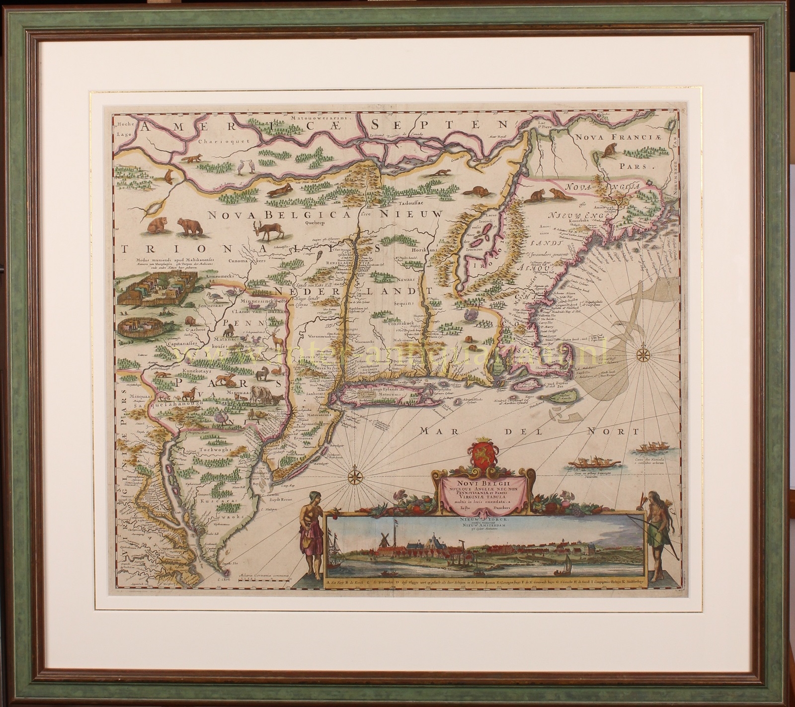
“Novi Belgii Novaeque Angliae Nec Non Pennsylvaniae et Partis Virginiae Tabula” (Map of New Netherland, New England, as well as Pennsylvania and a part of Virginia.) Copper engraving published by Justus Danckerts in Amsterdam in 1690. With original hand colouring. Size: 46.5 x 54.4 cm.
At the end of the 16th century, knowledge of the North American coast was still very incomplete in Europe and in The Netherlands. There was an idea that the Pacific and Atlantic oceans were connected by a river that ran through the American continent.
The reason for the first Dutch trading voyages to the land that would later be called ‘New Netherland’ were the discoveries made by Henry Hudson in 1609. In that year, the famous English explorer sailed to the Arctic Ocean. He had been commissioned by the Dutch East India Company (VOC) to attempt finding a shorter route to Asia. However, Hudson interrupted his efforts and set course for North America, where he discovered a large river, which still bears his name.
Interest in this area was sparked in the Netherlands, and lucrative prospects for the fur trade (including beaver hides) ignited the entrepreneurial spirit of the Dutch. Different groups of merchants tried to outdo each other. From 1611 to 1614, they each organized their own expeditions to explore this unknown territory.
One such figure was Captain Adriaen Block. On behalf of thirteen merchants, he sailed in 1613 to the ‘Great River’ (today’s Hudson River) with the intention of further exploring the trade possibilities of the area. Block returned to the Netherlands with positive stories about the economic potential of this territory. The States-General were also impressed. On October 11, 1614, they granted the “Nieuw-Nederland Compagnie” a trade charter. The united merchants were authorized by the States-General to make four trading voyages to New Netherland. There was no extension of this trade monopoly. The economic interests of this part of the world had become so significant for the Netherlands that in 1621, the States-General established the Dutch West India Company (WIC).
Nicolaes Visscher created a map in 1651 based on the manuscript map made by Adriaen Block during his exploratory journey, which he included in his atlases. The copper plate was reused in 1655 by Jan Jansson and once again brought to market “multis in locis emendata” (corrected in many places) in 1690 by Justus Danckerts. In Danckerts’ particular copy, the course of the Delaware River has been completely revised, and Pennsylvania is now correctly named. Compared to Visscher’s map, Danckerts adorned his map with more wild and farm animals, hence the map is often referred to as the “Farm Animal Map”. The land was meant to look more appealing to settlers.
The famous view at the bottom right of the map of “Nieuw Yorck eertyds genaemt Nieuw Amsterdam op ‘t Eyland Manhattans” (New York formerly called New Amsterdam on the Island of Manhattan) was first published around 1650 by Joan Blaeu.
The Dutch flag fluttering (“this flag is raised when ships come into the harbor”) appears to be directed to the States-General to urge the Dutch West India Company for additional support for the colony in New Amsterdam. However, by the time Danckerts published the map in 1690, it was already too late. From 1664, the settlement was in English hands.
Price: Euro 6.500,- (incl. frame)


