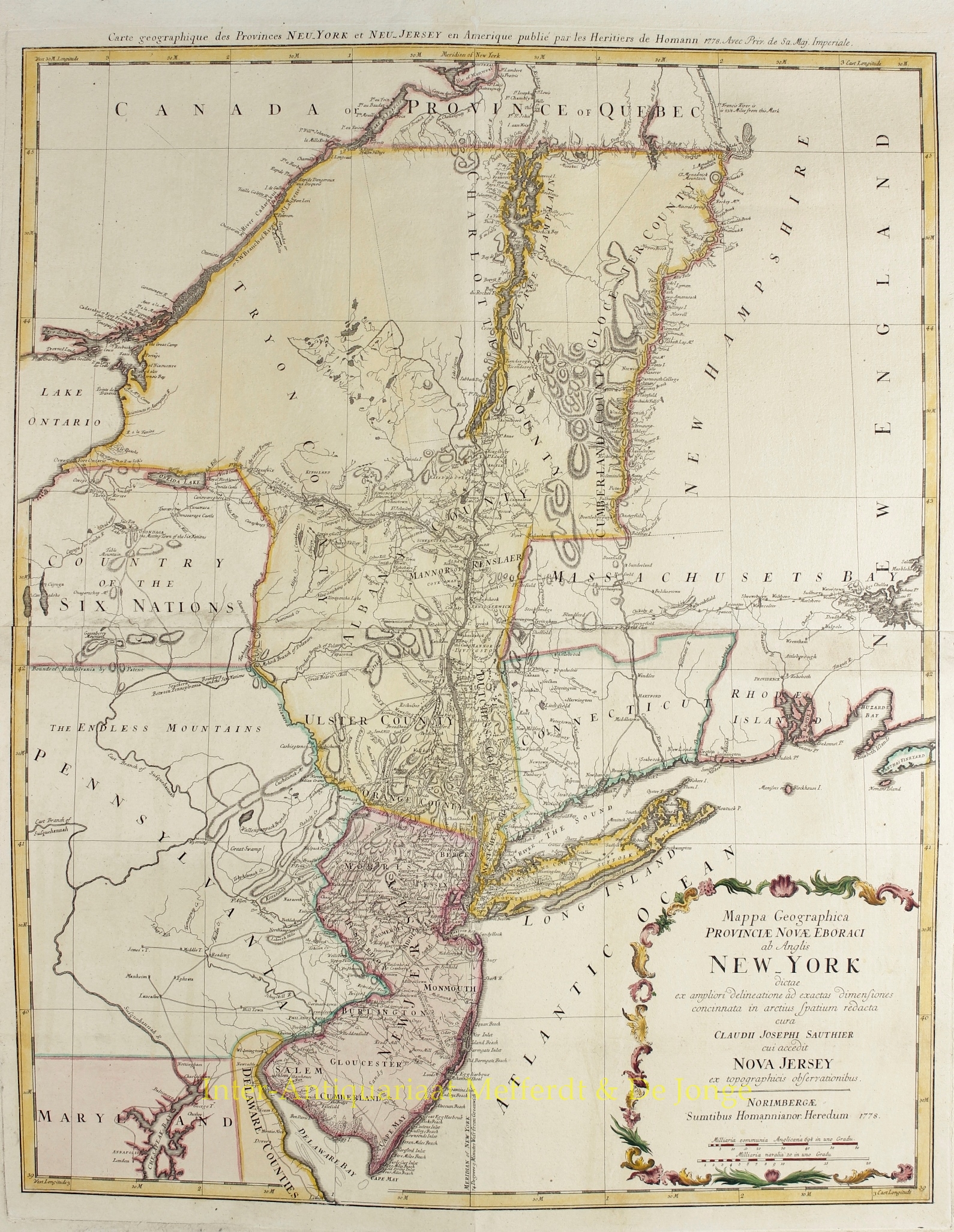
FINE MAP OF NEW YORK AND NEW JERSEY, MADE DURING THE REVOLUTIONARY WAR
“Mappa Geographica Provinciae Novae Eboraci ab Anglis New York dictae… cura C. J. Sauthier cui accedit Nova Jersey…“, copper engraved map on two joined sheets. Original hand colouring with later additions, publised in Nuremberg by Homann Heirs in 1778. Size: 73,5 x 58,5 cm.
The map is derivative of Claude Joseph Sauthier’s (1736-1802) greatest production, a large manuscript map of the provinces of New York and New Jersey which was first published on three sheets in 1776. That map also included details taken from Bernard Ratzer’s survey of New Jersey. Sauthier continued to improve his manuscript during the first years of the Revolution, and in 1779 it was published again, but on six sheets. The present map is a reduced version of this mapping sequence.
The Sauthier map contains a vast amount of information lacking in earlier works, particularly in upstate New York, the Catskills, and Vermont. It is a great record of New York and New Jersey from the Revolutionary War period.
Alsatian by birth, Claude Joseph Sauthier accompanied Governor William Tryon to North Carolina in 1769. He surveyed several North Carolina towns before accompanying Tryon to New York in 1771. He subsequently conducted many surveys of New York, and during the revolution he served as a military engineer producing a number of fine maps for the British Army.
Our map was made by Germany’s premier printer of cartographic works, originally founded by Johann Baptist Homann (1663-1724). Homann had established himself in Nuremberg, and by 1715 was appointed Geographer to the Emperor, producing some of the finest maps and atlases of the age. After Homann’s death, the prolific business was taken over by his son, Johann Christoph. From 1730, the firm was entrusted to a committee of family members, the Homann Heirs, who published maps and atlases for the next two generations, maintaining the high standards set by Johann Baptist.
Price: Euro1.650,- (excl. VAT/BTW)


