

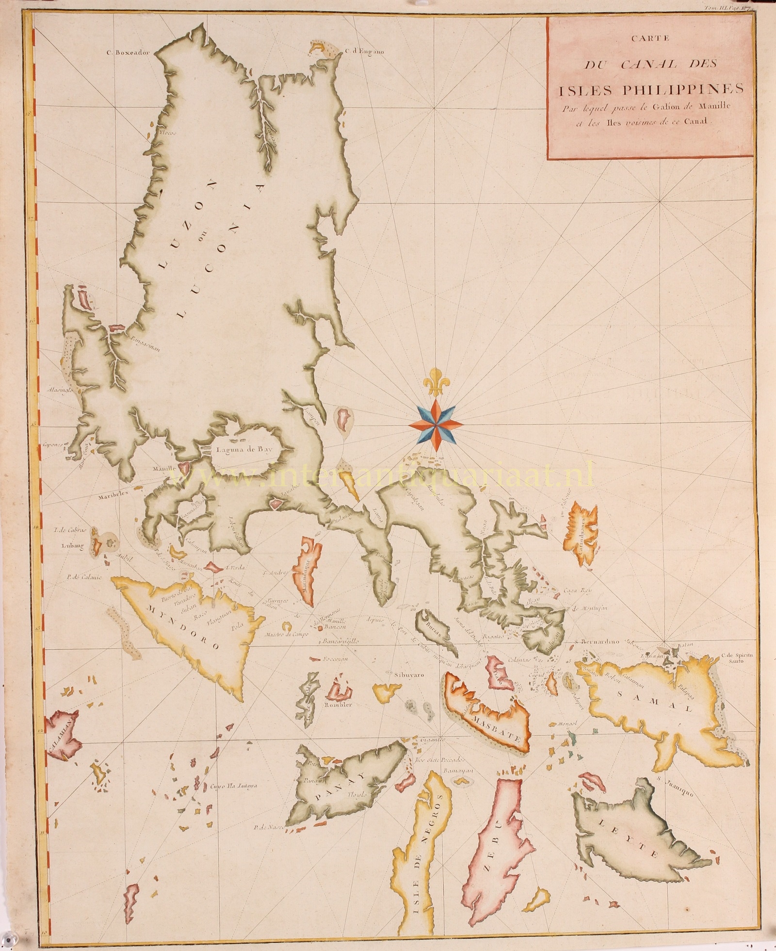
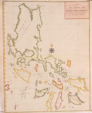

ONE OF THE MOST DETAILED 18TH CENTURY CHARTS OF THE PHILIPPINES
“Carte du Canal des Iles Philippines par lequel Passe le Galion de Manille…” [Map of the Philippine Islands Channel through which the Manila galleon passes…], copper engraving from George Anson’s “A Voyage Round the World” published in Paris 1750. Coloured by a later hand. Size: 54,2 x 42,3 cm??
While Great Britain was at war with Spain in 1740, British circumnavigator George Anson lead an expedition into the Pacific with the objective of attacking Spanish territories in South America. Despite failing in that mission, Anson managed to seize the Spanish treasure galleon Nostra Seigniora de Cabadonga near Cape Espiritu Santo on June 20, 1743. This galleon was carrying valuable treasures such as gold, silver, and more importantly, nautical charts that depicted the trade routes used by Spanish galleons between Mexico and Manila over the previous two centuries. This important discovery enabled the British to disrupt Spain’s trade in the Pacific, leading to economic setbacks for the Spanish in the New World. The captured treasures from the Nostra Seigniora de Cabadonga were paraded through London’s streets in 32 wagons, and Anson was hailed as a national hero.
The map depicts the northern Philippine Islands from Cebu to the northern tip of Luzon. Its purpose is to illustrate the route taken by Spanish treasure ships as they left Manila for the Americas. The map shows the path departing from Cavite and passing through the strait above Mindoro, below Marinduque and Burias, above Tiaco, then past Capul and the San Bernardino Islands, before heading out to the Pacific just north of Samal.
Price: Euro 750,-