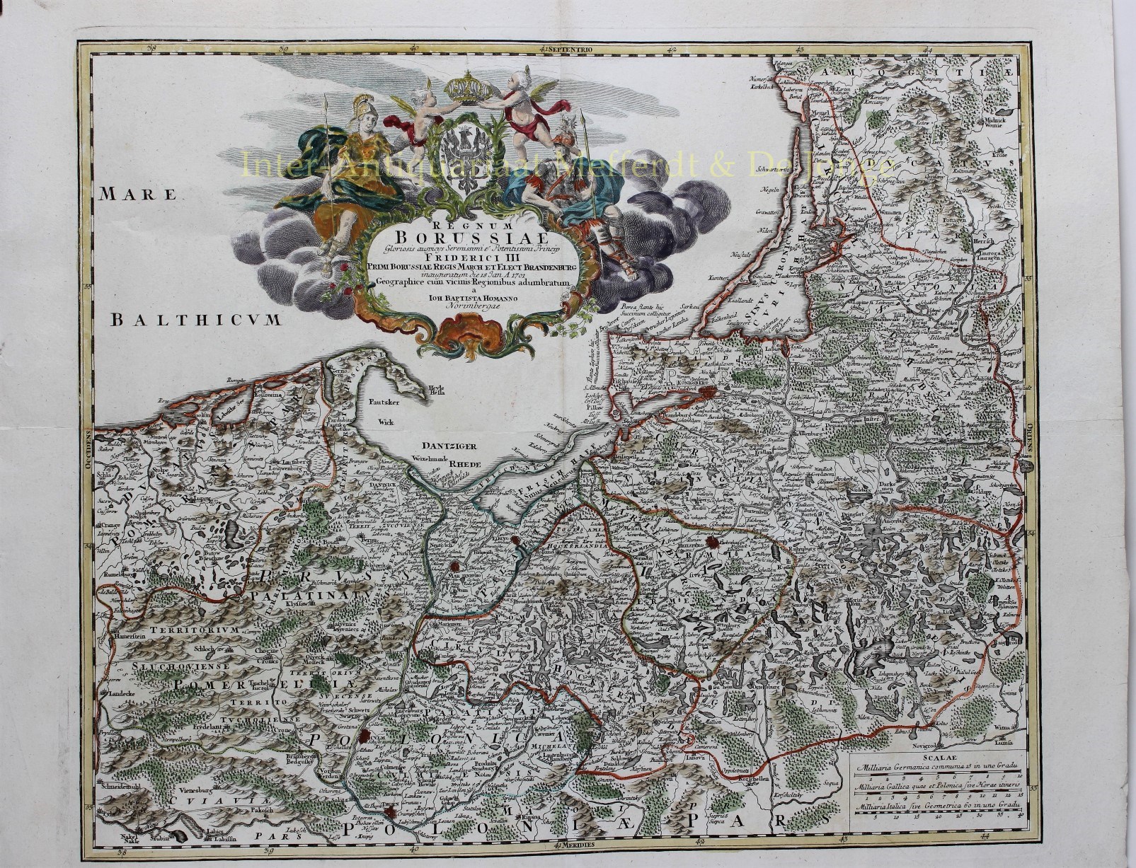
FINE MAP OF POLAND AND KALININGRAD
“Regnum Borussiae Gloriosis auspicys Serenissimi et Potentissimi Princip Friderich III.” Copper engraving published around 1710 by Johann Baptist Homann in Nuremberg. Coloured by a later hand. Size: 48,3 x 57,2 cm
Beautiful map of the Baltic coast consisting of northern Poland (former Prussia), Königsberg (nowadays Kaliningrad), and parts of Lithuania. It includes the major cities of Danzig (Gdańsk), Elbing (Elblag), Mariënburg (Malbork), Heilsberg (Lidzbark Warmiński), and Culm (Chełmno). Mountains and forests are rendered in profile following Homann’s typical stylistic conventions. An elaborate decorative cartouche bearing numerous allegorical elements fills the Baltic Sea at the top center. The cartouche celebrates the Königsberg assentation of Frederick III of Brandenburg, who crowned himself King of Prussia on January 18, 1701. While Frederick, now the Frederick I of Prussia, had an uneventful reign, his grandson, Frederick the Great would eventually consolidate this region into Brandenburg-Prussia. This area was returned to a reconstituted Poland by the Treaty of Versailles following World War II.
Price: Euro 475,-


