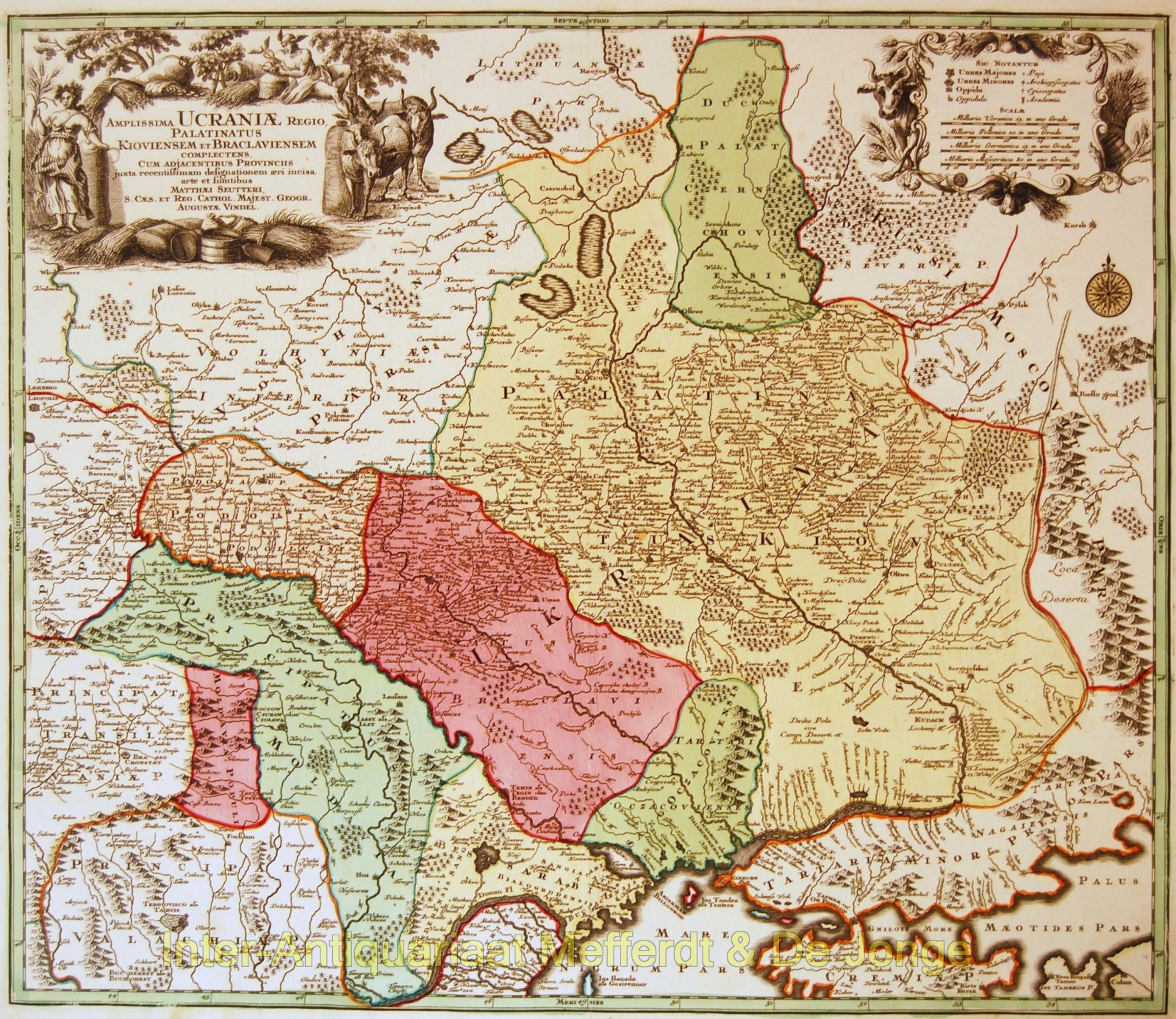
Ukraine antique map – Seutter, c. 1720
UKRAINE
“Amplissima Ucraniae regio, Palatinatus Kioviensem et Braclaviensem complectens cum adjacentibus provincibus” [The vast region of Ukraine, comprising the Kiev and Bracław Voivodeships and adjacent provinces], copper engraving, published in Augsburg by Matthias Seutter in 1720 with original hand colouring. Size: 49,8 x 57,7 cm.
An uncommon and attractive map of Ukraine with excellent detail of the river systems and charming, pictorial topography. It is decorated with two elegantly engraved cartouches that suggest the riches of the land, including sheaves of wheat, cattle and Demeter, the goddess of the harvest.
Price: SOLD


