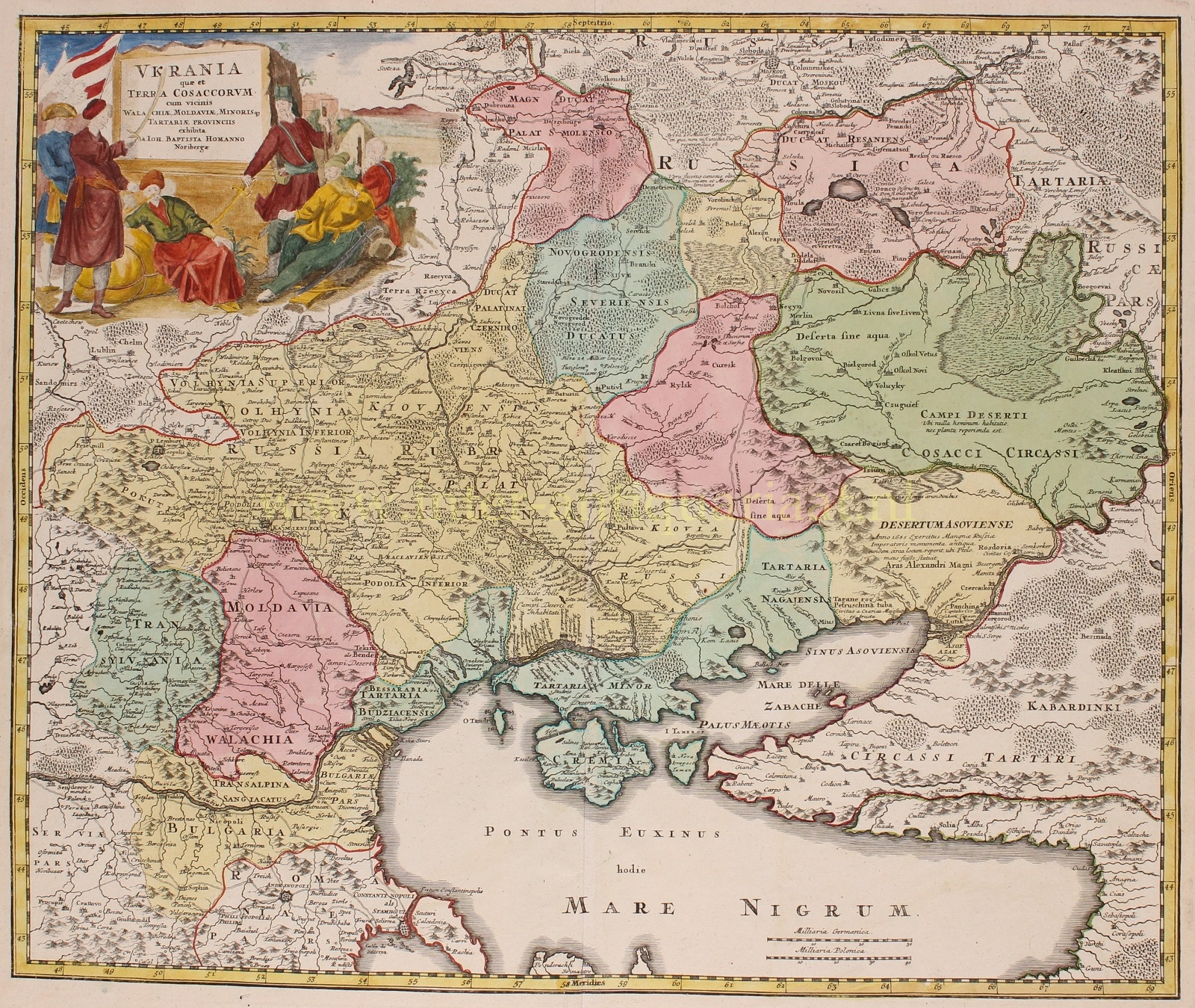
ONE OF ONLY A FEW EARLY MAPS FOCUSING ON UKRAINE
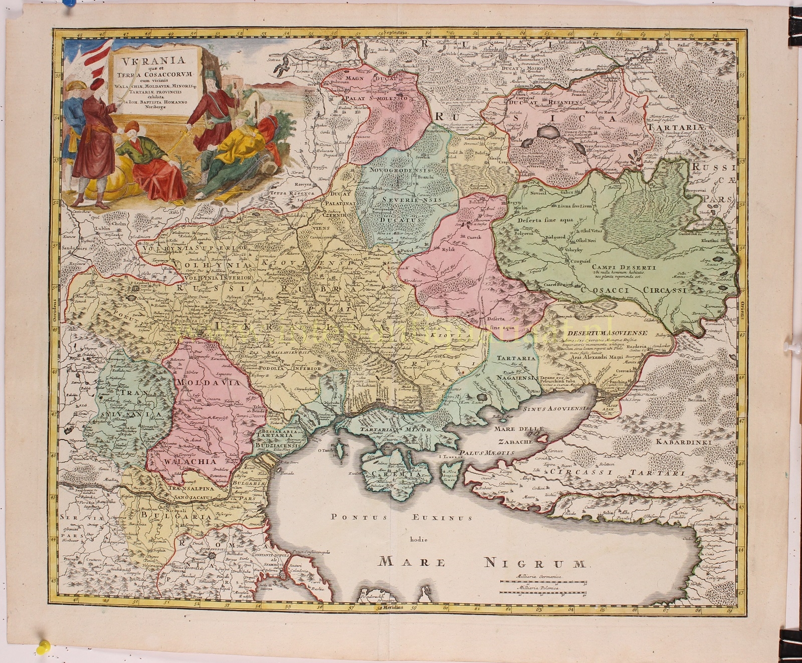
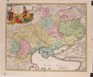
“Ukrania quae et Terra Cosaccorum cum vicinis Walachiae, Moldoviae, Minoris q. Tartariae, Provinciis” (Ukraine, which is also the Land of the Cossacks, along with the neighboring regions of Wallachia, Moldavia, a part of Lesser Tartary). Copper engraving published by Johann Baptiste Homann of Nuremberg in 1720, with original hand colouring with later additions. Size: 48 x 57,2 cm
The name Ukraine was popularized in the West by Guillaume La Vasseur de Beauplan‘s Description d’Ukraine, first published in Rouen in 1651. The work described Ukraine as several provinces of the Kingdom of Poland lying between the borders of Muscovy and the frontiers of Transylvania.
Beauplan, a military engineer, had spent a significant period of time constructing fortresses in the region in the 1630s. Beauplan’s map of 1648, entitled Delineatio Generalis Camporum Desortum vulgo Ukraina, Cum adjacentibus Provinciis, shows all of the provinces of Poland bordering on the Campus Desertorum or deserted fields, thereby recognizing the Russian and Polish language references to Ukraine as the “border land” and leading to the popularization of the name in Western Europe.
The region was later defined by the Treaty of Zboriv of 1649, which established the Cossack Hetmanate in the eastern territories of the Polish–Lithuanian Commonwealth. Homann’s map here, depicts the political changes of the beginning of the 18th century, where the Russian Empire had lost significant territory in the Great Northern War and where in 1708, the whole area was included into the Government of Kiev (i.e. under the Russian Empire) and Cossack autonomy was severely restricted. The site of the Battle of Poltava in 1709 is marked on the map; the lands of Transdanubian Sich, which were transferred to Turkey in 1711, are marked as part of the Crimean Khanate. The cartouche portrays Hetman Ivan Mazepa with his followers in exile.
Catherine II of Russia officially abolished the institute of the Hetman in 1764.
Price: SOLD


