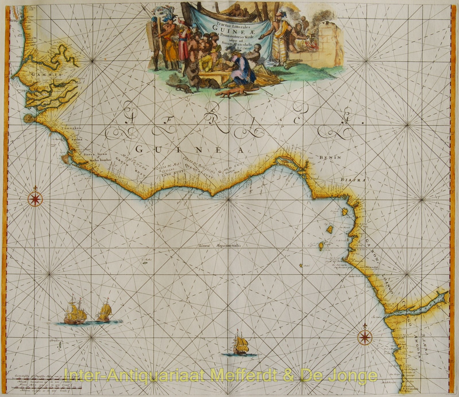
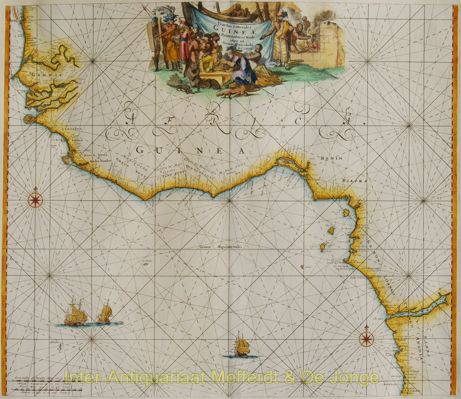
“Tractus littorales Guine a Promontorio Verde usque ad Sinum Catenbelae“, copper engraving published as part of the Atlas der Zeevaart by Reinier and Joshua Ottens in Amsterdam c. 1745. Original hand colouring. Size 56,5 x 48,5 cm.
West coast of Africa from modern northern Mauritania to northern Angola. Includes a decorative title cartouche with native and European people and local fauna. Includes two compass roses. The map is based on an earlier edition with the same title by Frederick de Wit.
Price: Euro 475,-


