

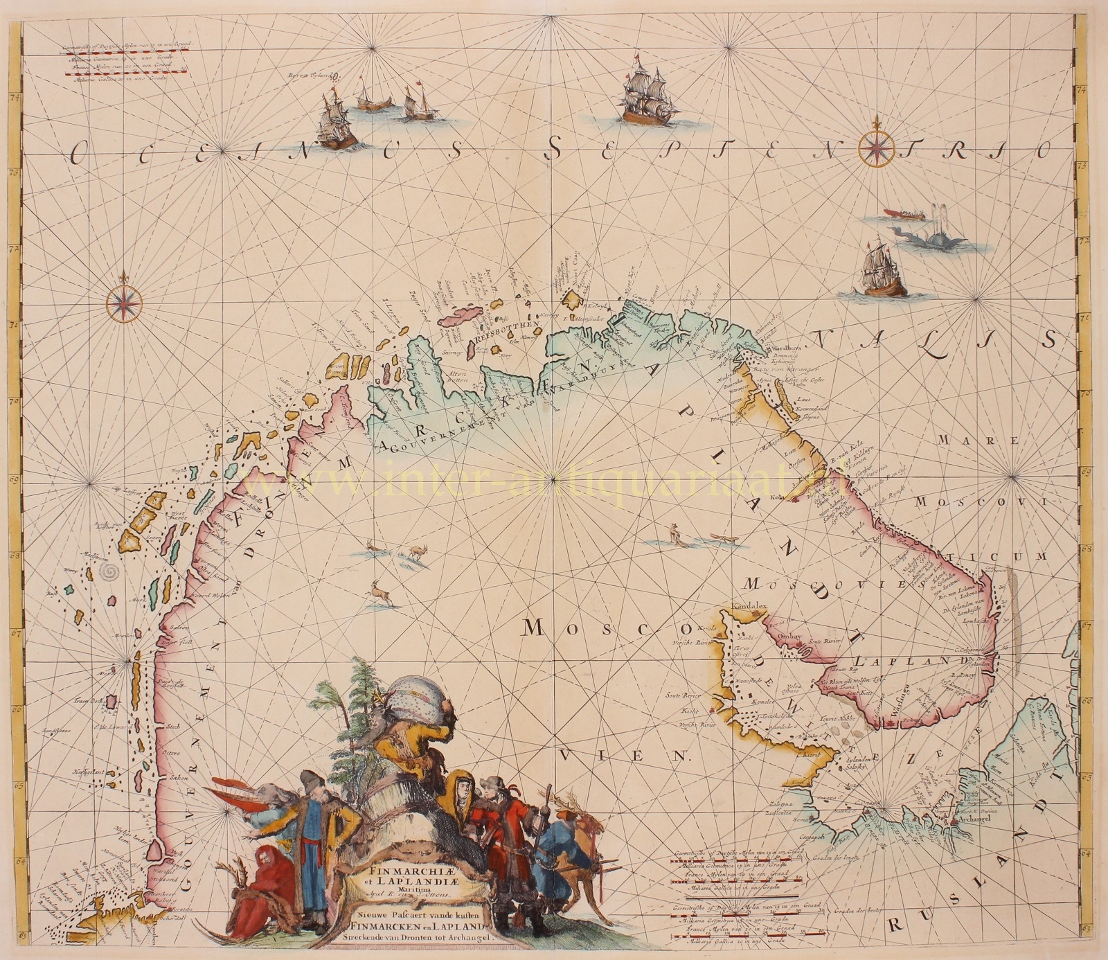
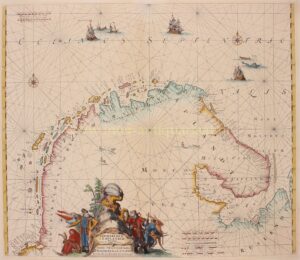
Finnmark and Lapland – Reinier & Josua Ottens, 1745

THE CAP OF THE NORTH
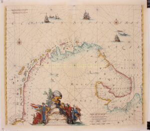
“Finmarchiae et Laplandiae Maritima | Nieuwe Pacaert vande kusten Streckend van Dronten tot Archangel”, copper engraving published in 1745 by Reiner & Joshua Ottens in Amsterdam. Original hand colouring with later additions. Size 49 x 57 cm.
This scarce sea chart depicts the coast along the land of the Sami people in Norway, Sweden, Finland, and Russia from Romsdalen via Trondheim through Finnmark county, Vardø (“Wardhuys”), Lapland, the Kola Peninsula (“Moscovies Lapland”) until the White Sea with Arkhangelsk. The map was initially created by Frederick de Wit around 1690 and later published by Louis Renard from 1715 to 1739 before being taken over by the Renier and Josua Ottens.
The map is beautifully adorned with a decorative cartouche reflecting the harsh climate conditions (made by master engraver Romeyn de Hooghe), multiple vignettes featuring sea monsters and sailing ships, and two compass roses, enhancing its visual appeal.
As a sea chart, it would have provided navigational information along the cost for sailors and armchair travelers alike.
Price: SOLD