Hungary – George Willdey, c. 1720
LARGE MAP OF HUNGARY
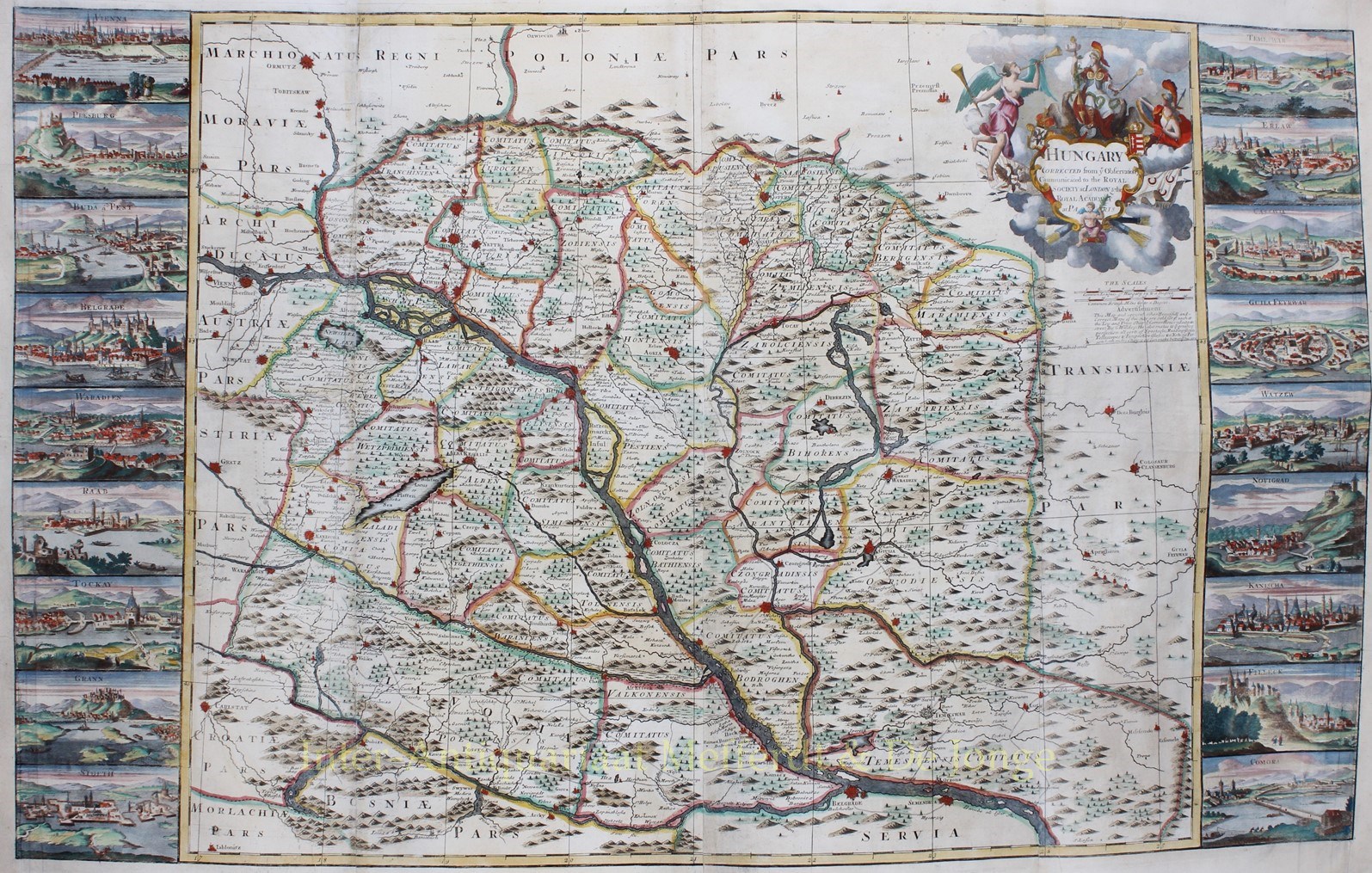
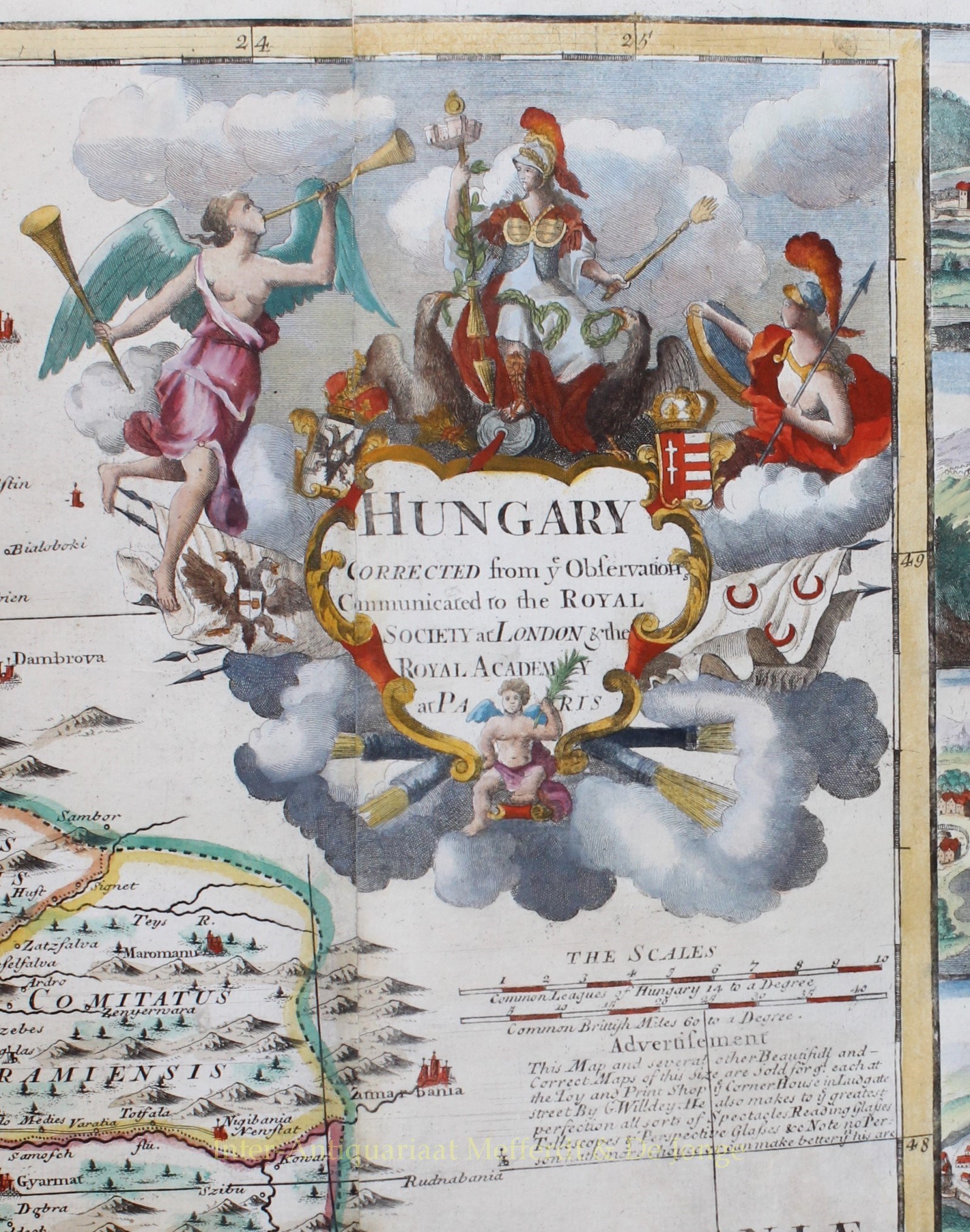
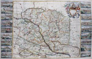
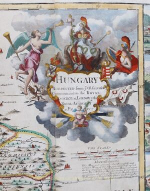
“Hungary corrected from the observations communicated to the Royal Society at London and the Royal Academy at Paris.” Copper engraving by George Willdey, published in London c. 1720. Coloured by a later hand. Size: 63 x 102,5 cm
This highly decorative and rare separately-printed early 18th Century map depicts the Kingdom of Hungary, which included all of the modern nation of Hungary, as well as parts of Slovakia, Romania, Serbia and Croatia. At the time of publication Hungary was in the process of becoming a hereditary monarchy under the Habsburgs.
The land is divided into the various counties and pictorially depicts the various fortified centres that guarded what had long been a frontier region between the Habsburg and Ottoman empires.
This large map is highly detailed, with virtually every village, river and major road detailed. The work was separately published, although some examples were included in composite atlases.
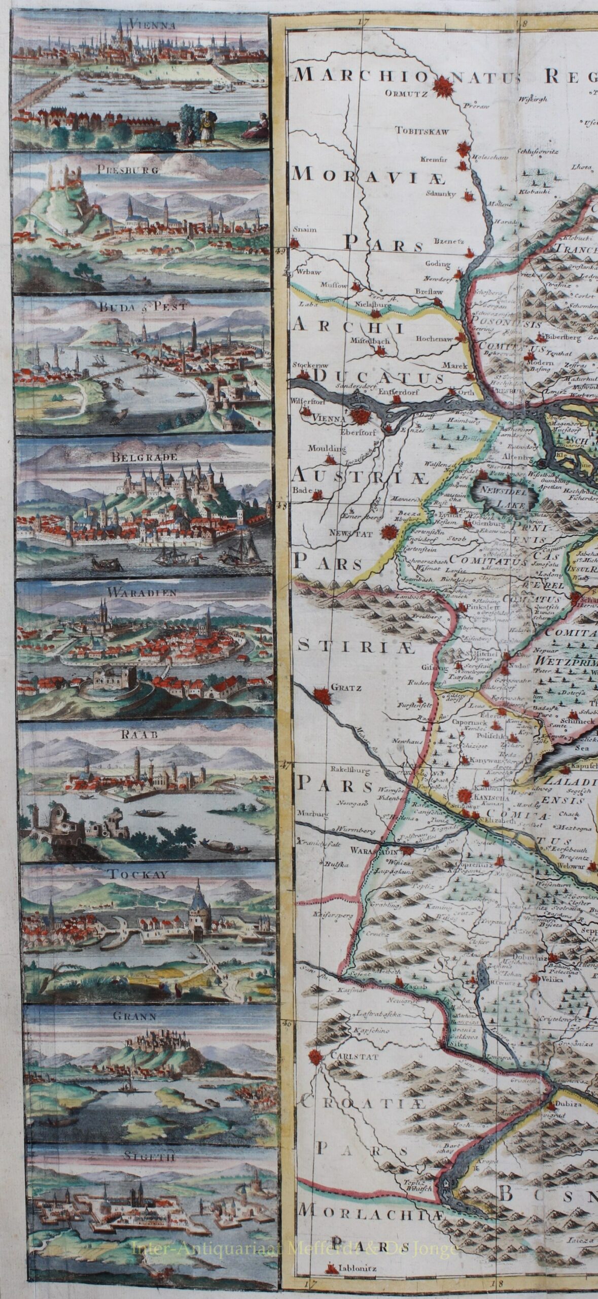
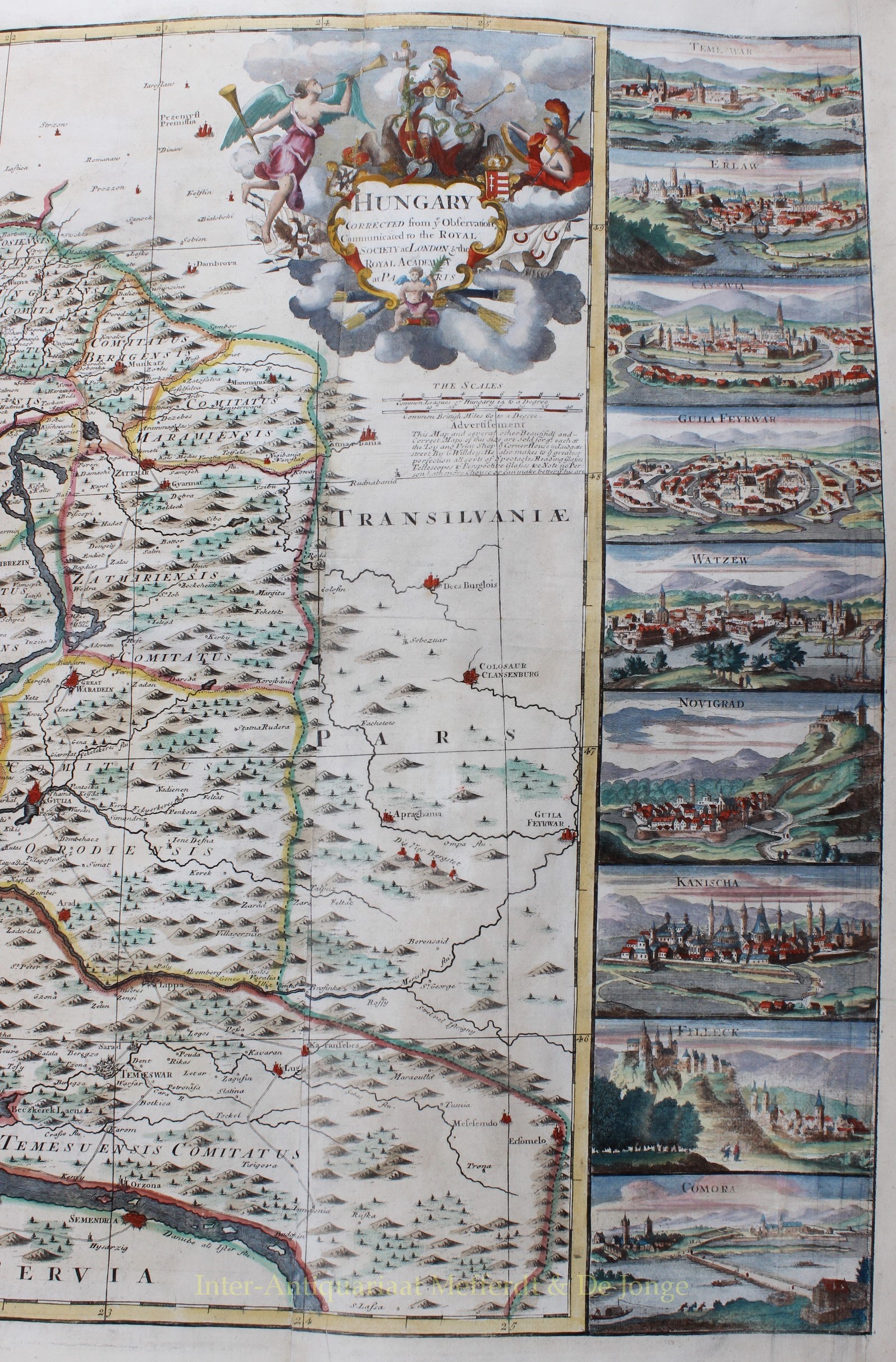
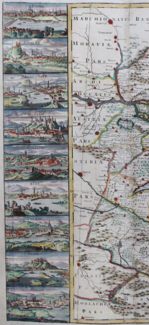
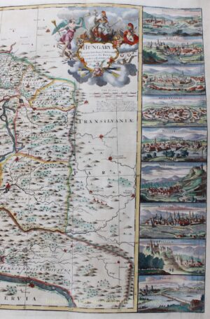
The map is grandly framed by 18 profile views of the region’s major cities and towns (9 on each side), including Vienna, Presburg (Bratislava), Buda & Pest (Budapest), Belgrade, “Waradien” (Oradea, Romania), “Raab” (Győr), “Tockay” (Tokaj), “Grann” (Esztergom), “Sigeth” (Szigetvár), “Temeswar” (Timișoara, Romania), “Erlaw” (Eger), “Cassavia” (Košice, Slovakia), “Guila Feyrwar” (Gyula), “Watsew” (Vác), Novigrad, “Kanischa” (Nagykanizsa), “Filleck” and “Comora”(Komárom).
“This map and several other beautiful and correct maps of this size are sold for 9 pennies each at the toy and print shop in the corner house at Ludgate street by G. Willdey. He also makes to the greatest perfection all sorts of spectacles, reading glasses, telescopes and perspective glasses. Note no person has more choice or can make better than his are.”
George Willdey (c. 1676-1737) was a flamboyant London shopkeeper with prestigious premises close to St. Paul’s Cathedral. He had broad commercial interests; his shop was stocked with all manner of goods and commodities, including snuff, clocks, globes, wallets, lanterns, a camera obscura, and many scientific instruments. However, the cartographic side of his business seems not to have been very successful, and few examples of his maps survived.
Price: SOLD


