

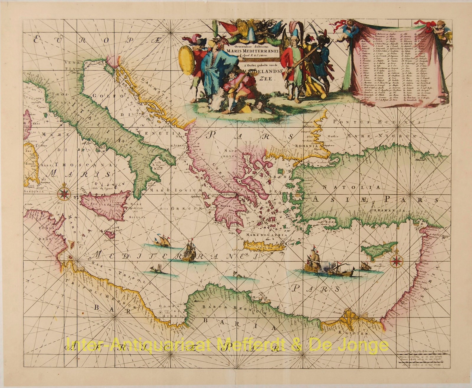
“Orientalior Districtus Maris Mediterranei. “‘t Ooster Gedeelte van de Middelandse Zee”
Copper engraving with full original hand colouring. The map was first published in 1680 by Frederick de Wit, then by Louis Renard. This copy was published in Amsterdam in 1745 by Reinier and Joshua Ottens in their Atlas der Zeevaart. Apart from a vertical strip of very slight discolouration, very nice copy.
Wonderful sea chart of the eastern Mediterranean, from Sardinia and Corsica to Syria and the Holy Land, centered on Greece. Excellent detail, including a large representiaton of Cyprus. Embellished with a fine large allegorical cartouche, 2 compass roses, sea monsters, sailing ships, etc.
Price: SOLD