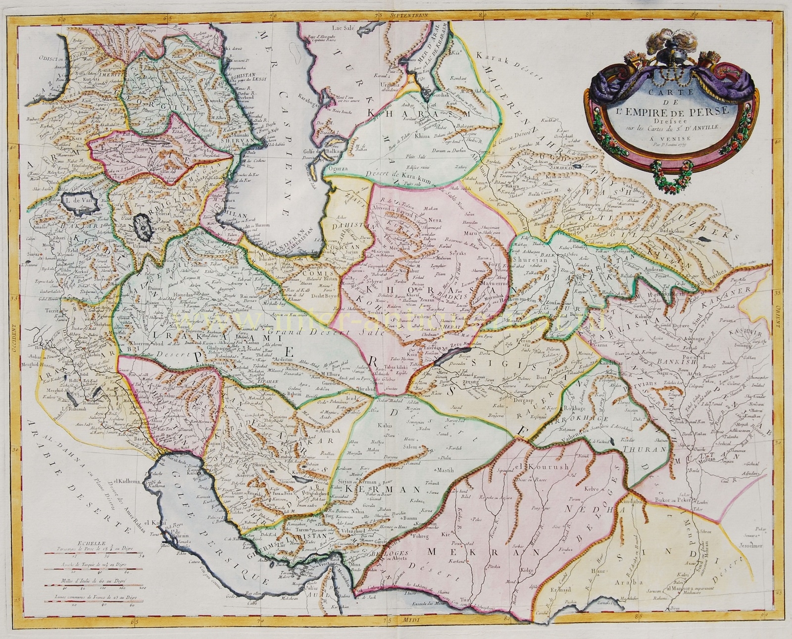
“Carte de l’Empire de Perse” (map of the Persian empire) copper engraving after the work of Jean Baptiste D’Anville, made by Paolo Santini in 1779 for his “Atlas Universel dressee sur les Meilleures Cartes Modernes” published in Venice in 1784. Coloured by a later hand. Size: approx. 48 x 60,5 cm.
The map covers the Persian Empire from the Black Sea in the west and the Persian Gulf in the south until Kashmir and Punjab in India, including the modern day nations of Iran, Iraq, Georgia, Armenia, Azerbaijan, Turkmenistan, Afghanistan, Pakistan and parts of India.
During this time, Persia was passing through the waning years of the short lived Zand Dynasty, which ruled from the capital city of Isfahan – identified here as Ispahan. The death of Karim Khan, the founder of the Zand Dynasty, in 1779 led to civil war. In a few short years, in 1794, Aga Muhammad Khan overthrew Loft Ali Khan, the last Shah of the Zand Dynasty, and relocated the capital to the new city of Tehran. The subsequent era, the Qajar Dynasty, witnessed numerous military conflicts with the rising powers of Imperial Russia and the loss of much of Persia’s territory.
Jean Baptiste Bourguignon d’Anville (1697 – 1782) was perhaps the most important and prolific cartographer of the 18th century. He greatly improved the standards of map-making. D’Anville became cartographer to the king, who purchased his cartographic materials, the largest collection in France. He made more than 200 maps during his lifetime. Unlike most period cartographers, D’Anville did not rely exclusively on earlier maps to inform his work, rather he based his maps on intense study and research. His maps were thus the most accurate and comprehensive of his period – truly the first modern maps. His maps remained the reference point in cartography throughout the 19th century and were used by numerous explorers and travellers.
Price: SOLD


