

Spain, Portugal map – Visscher, 1680
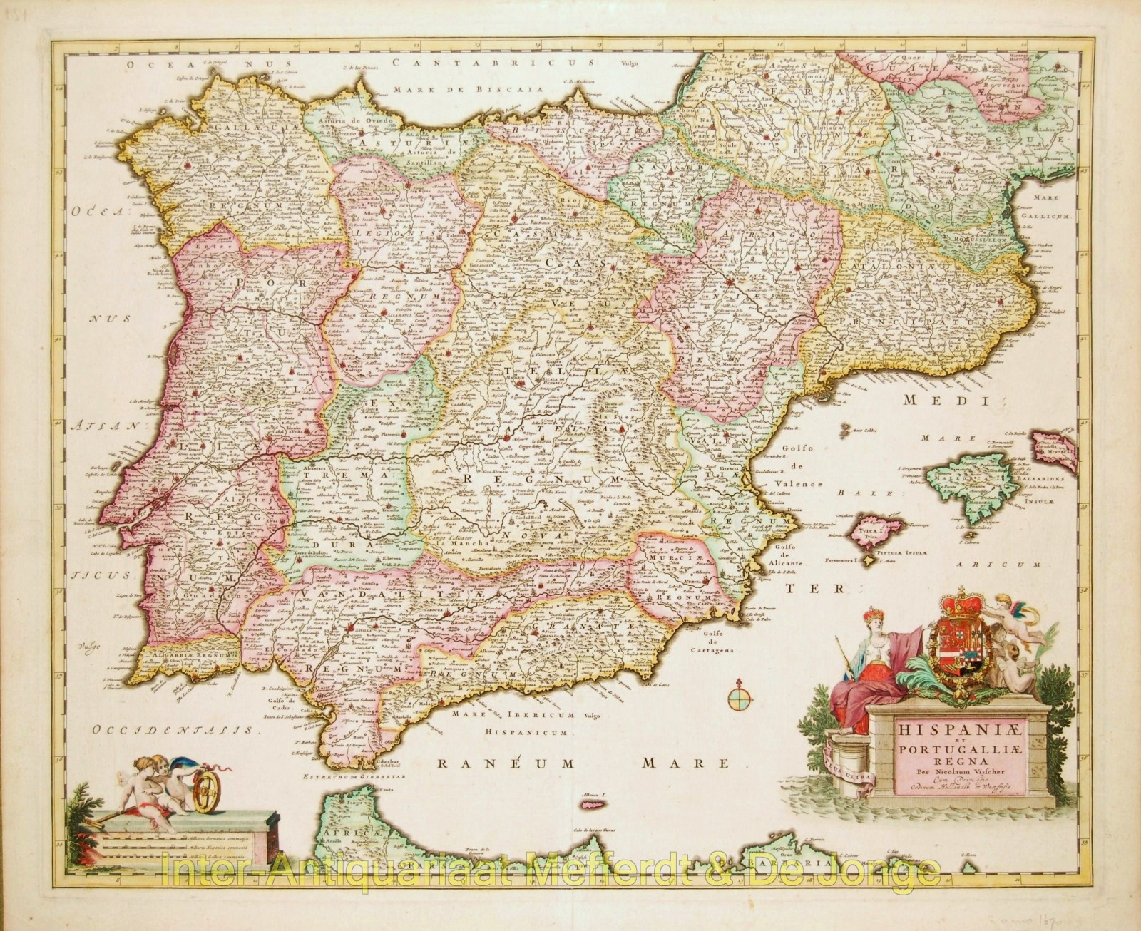
Hispaniae et Portugalliae Regna
Beautiful example of an Iberian peninsula map showing Spain and Portugal and Balearic Islands. The elaborate title cartouche depicts a crowned Queen and cupids supporting a crest.
Published in Amsterdam by Nicolaes Visscher, 1680. Original hand colouring. Size: 47,7 x 57,9 cm.
price: SOLD