Tokyo – Sagano, Hikotarō, 1887
TOURIST MAP OF 19TH CENTURY TOKYO
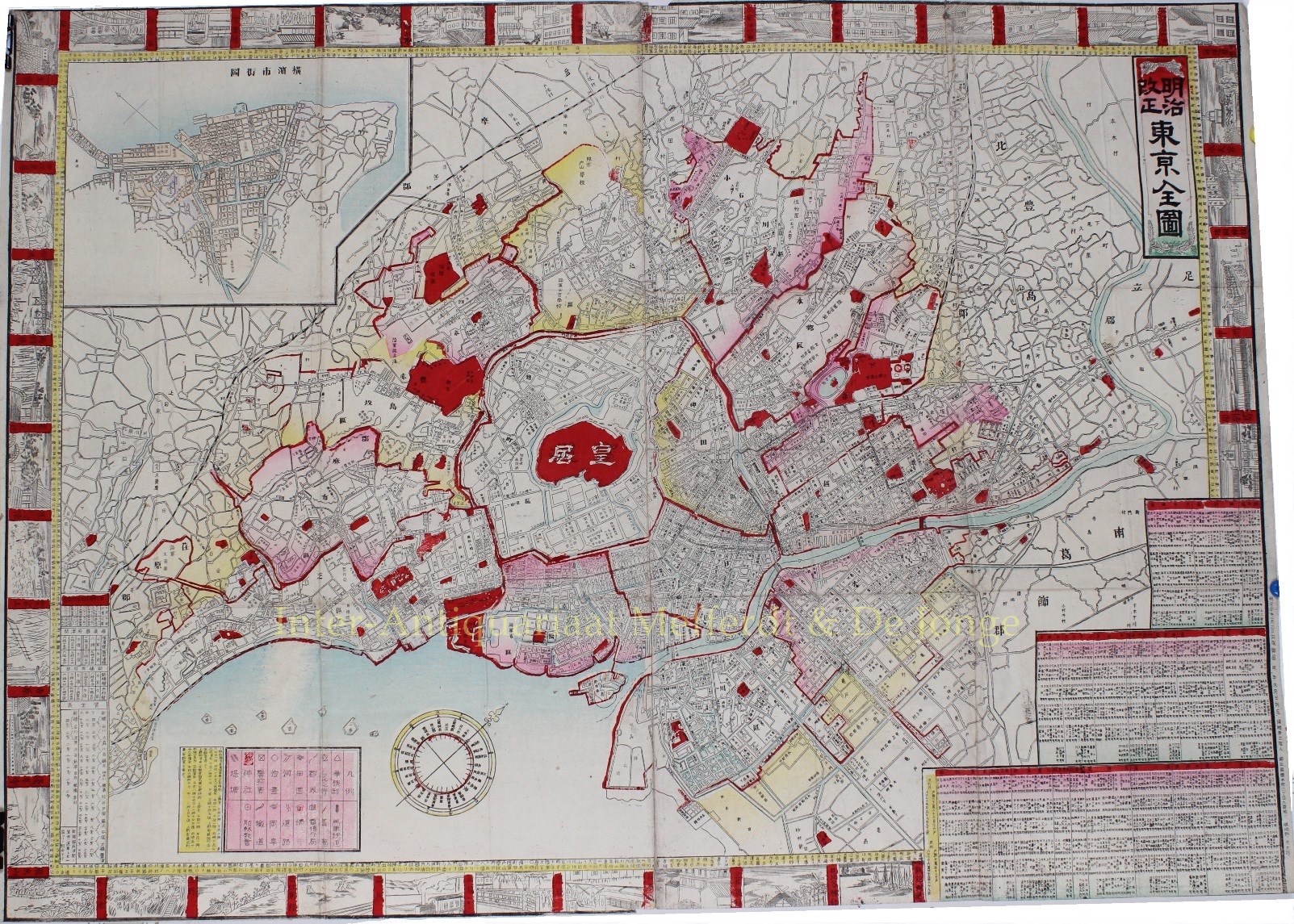
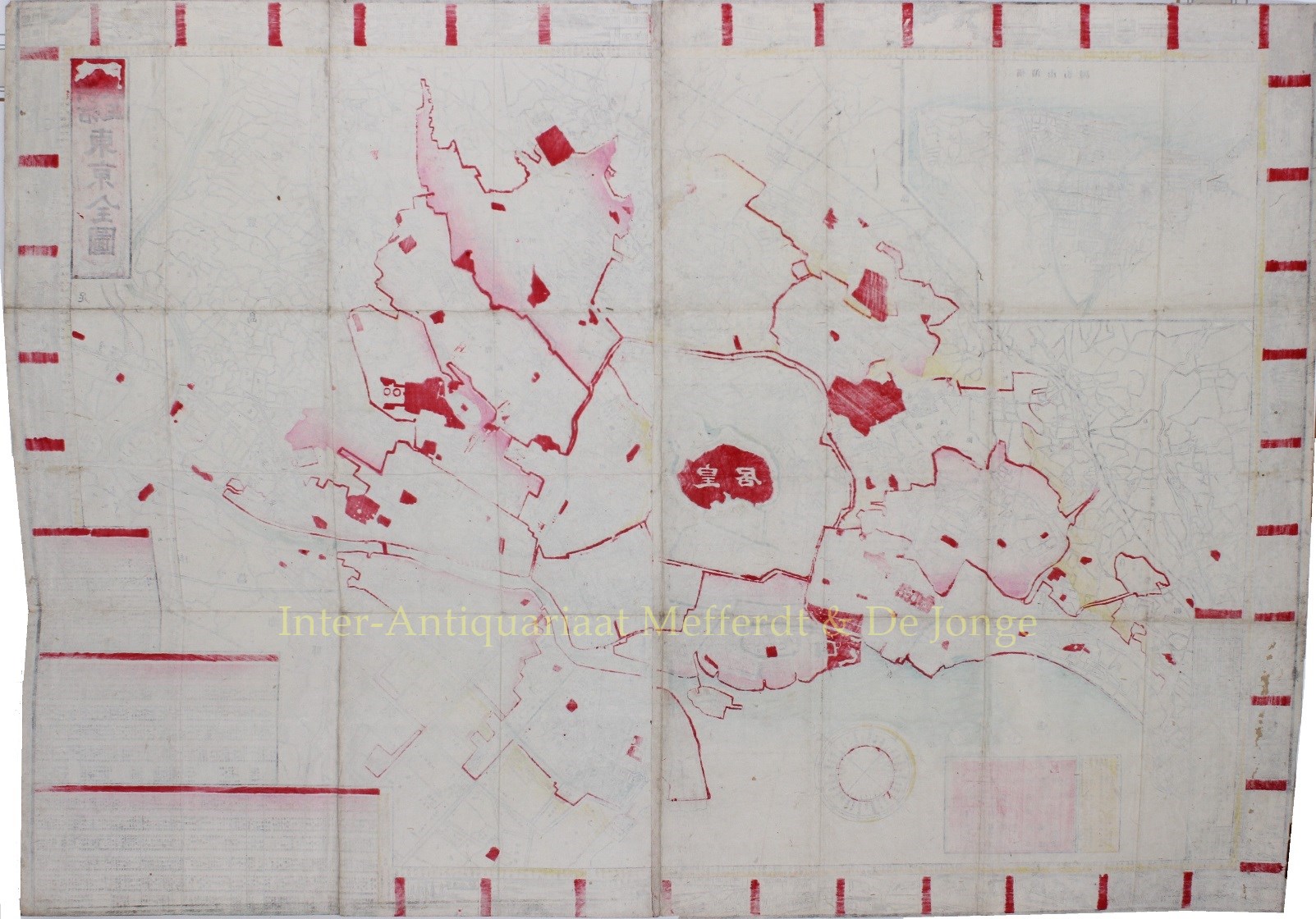
明治改正東京全図 – Meiji Kaisei Tokyo Zenzu [Revised Meiji Map of Tokyo]. Copper engraving on two joined sheets with woodblock colouring, published by Sagano, Hikotarō in 1887. Size: 51,7 x 71,7cm.
Appealing Meiji Japanese map of Tokyo, geared to the Japanese visitor. There is an inset of Yokohama at the upper left and the map is surrounded by small vignette scenes of tourist attractions in Tokyo.
Most interestingly, contained within the yellow border between the images and the map is the description for a 4 day walking tour of Tokyo. A compass rose gives the 12 zodiacal signs associated with the directions.
The inset at lower left corner shows the train schedule Tokyo – Yokohama, and the price for each stage of the journey.
Three charts of text in Japanese on the bottom right of the map give the names of the neighbourhoods to be found within each of Tokyo’s wards.
Price: SOLD


