Showing 1–48 of 65 results
Artois – Nicolaes Visscher, 1656-1677
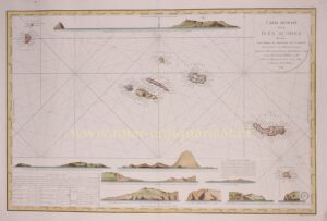
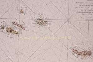
Azores – Depot de la Marine, 1791
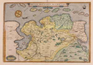
Baltics, Estonia, Lithuania – Joseph-Nicolas De l’Isle, 1745
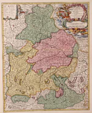
Bavaria (Bayern) – Nicolaes Visscher + Pieter Schenk, ca. 1720
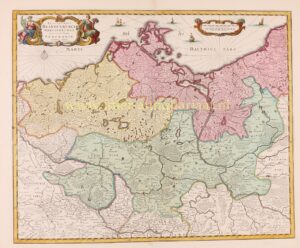
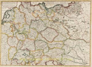
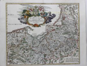
Brandenburg-Prussia – Peter Schenk, c. 1720
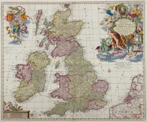
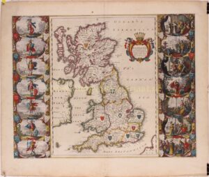
British Isles – Nicolaes Visscher, c. 1690
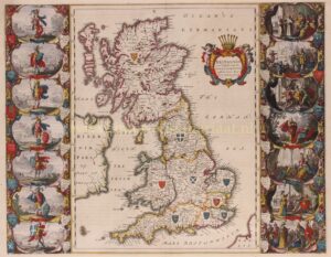
British Isles – Willem Blaeu, c. 1645
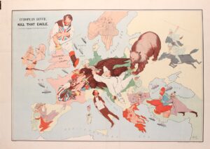
Cartoon map of Europe – John Henry Amschewitz, 1914
Cartoon map of Europe – Johnson, Riddle & Co., 1914
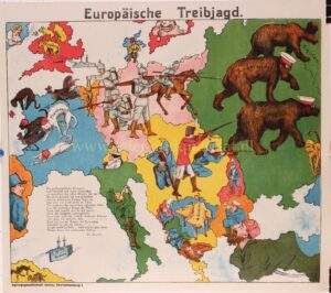
Cartoon map of Europe – Verlagsgesellschaft Union, 1914
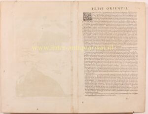
East Frisia (Ostfriesland) – Abraham Ortelius, 1587
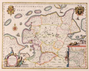
East Frisia / Ostfriesland – Willem Blaeu, ca. 1640
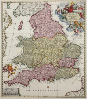
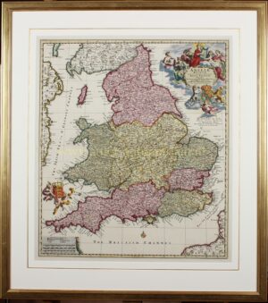
England – Nicolaas Visscher, c. 1690
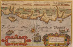
England, coastal chart between Wight and Dover – Waghenaer, 1586
England, from Robin Hood’s Bay to Coquet Island – Waghenaer, 1596
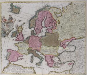
Europa – Pieter Schenk, ca. 1700
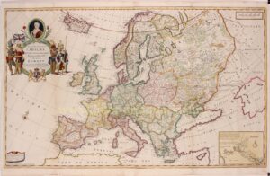
Europe – Herman Moll, 1708
Europe – John Speed, 1626
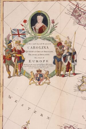
Europe – Thomas Kitchin + Robert Sayer, 1772
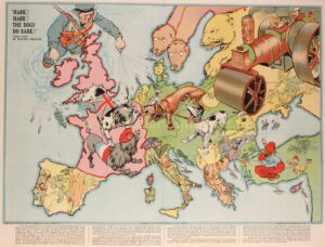
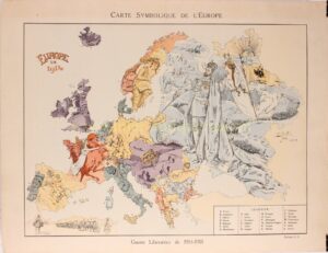
Europe cartoon map – B. Crété, 1914/15
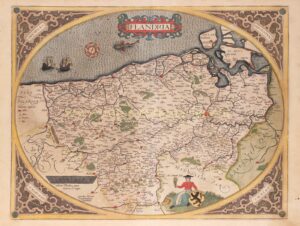
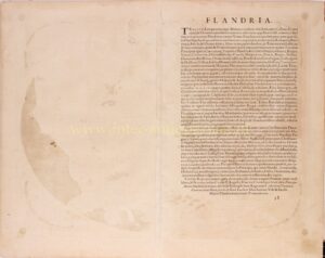
Flanders – Abraham Ortelius, 1579
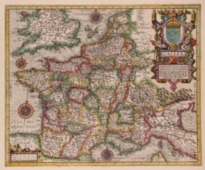
France – Abraham Ortelius, 1606
France – Frederick de Wit, c. 1690
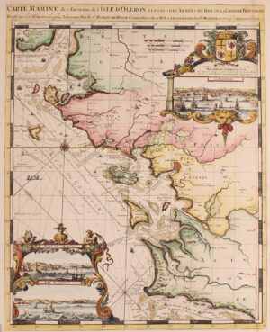
France, Charente-Maritime – Romeijn de Hooghe + Pieter Mortier, 1693
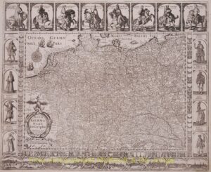
Germany – Johannes Janssonius, 1626
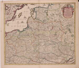
Germany, Low Countries, Poland, Baltics – Melchior Tavernier, 1645
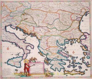
Greece, Balkans – Danckerts, 1684
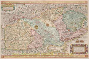
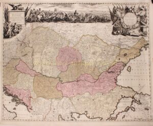
Hungary – Johannes van Doeticum + Claes Jansz. Visscher, 1634
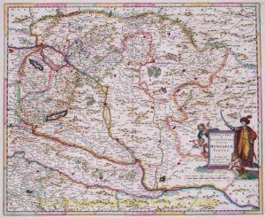
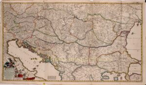
Hungary – Justus Danckerts, 1684
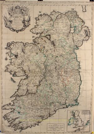
Ireland – Alexis-Hubert Jaillot, 1693
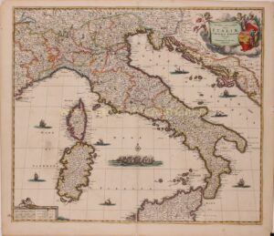
Italy – Frederick de Wit, 1680
Kingdom of Hungary – Pieter Schenk after Luigi Marsigli, 1717
Kingdom of Hungary, Balkans – Frederick de Wit, 1688
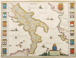
Kingdom of Napels – Blaeu, c. 1640
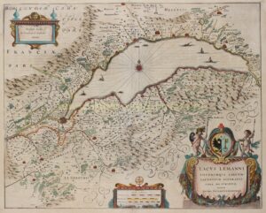
Lake Geneva/Lac Leman – Willem Blaeu, c. 1640
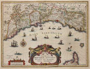
Liguria, Republic of Genua – Willem Blaeu, c. 1640
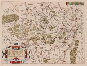
Luxembourg – Petrus Kaerius / Ludovico Guicciardini, 1609
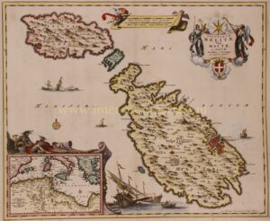
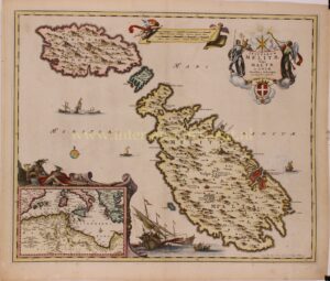
Malta and Gozo – Nicolaes Visscher, c. 1680
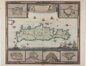
Map of Crete – Frederick de Wit, c. 1680
Mediterranean – 19th century
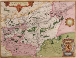
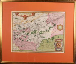
Namur County – Abraham Ortelius, 1576-1612
Normandy and Picardy – Romeijn de Hooghe, Pieter Mortier, 1693
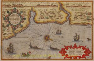
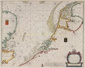
North Sea – Jacob Theunis Lootsman, 1681
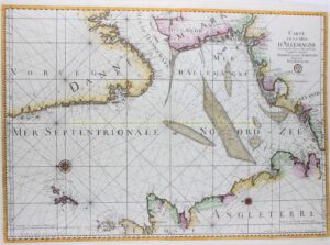
North Sea – Jacques-Nicolas Bellin, ca. 1770
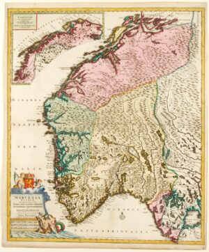
Norway – Cornelis Danckerts, c. 1696
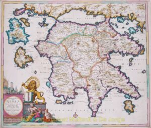
Peloponnese – Justus Danckerts, 1684
Poland, Kaliningrad/Königsberg (Pomerania and East Prussia) – Johann Baptiste Homann, c. 1710
Polish Lithuanian Commonwealth – Frederick de Wit, ca. 1680
Username or email address *
Password *
Remember me Log in
Lost your password?