

India antique map – Mannert, 1804
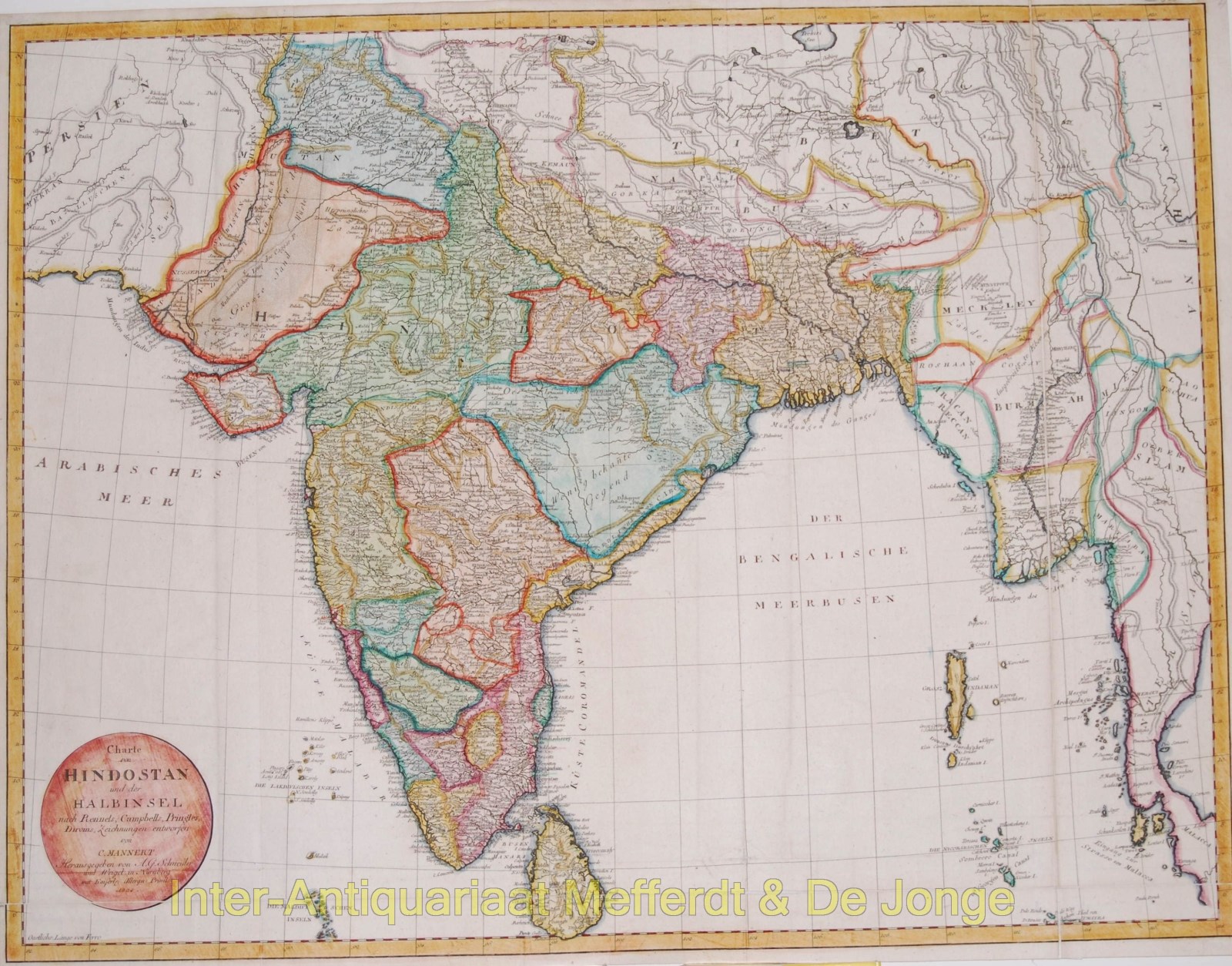
LARGE MAP OF INDIA AND THE INDIAN PENINSULA, 1804
“Charte von Hindostan und der Halbinsel nach Rennels, Campbells, Pringles, Diroms Zeichnungen entworfen”, copper engraving compiled by Conrad Mannert and published in Nuremberg by A. G. Schneider & Weigel in 1804. Original hand colouring, with later additions. Size 53.6 × 69.7 cm.
Large map of the Indian subcontinent, extending from Afghanistan and the Indus in the west to Burma and Siam in the east, and from the Himalayas to Cape Comorin and Ceylon in the south. Kingdoms, princely states and other political territories are distinguished by colour; numerous cities, towns, rivers and mountain ranges are also indicated.
Mannert based his map primarily on recent British cartographic sources, as is explicitly stated in the title. The most important of these were the surveys of James Rennell (1742–1830), the first Surveyor General of Bengal, whose maps set a new standard for European cartography of India in the late eighteenth century.
The map had originally appeared as early as 1797; this is the edition dated 1804 in the cartouche. It was therefore published at a time when the political balance of power in India was changing rapidly and the British East India Company was greatly expanding its territorial influence.
Price: SOLD
